Bishan-Ang Mo Kio Park
Your Complete Guide to Singapore's Premier Urban Oasis
What makes Bishan-Ang Mo Kio Park one of Singapore's most beloved destinations, and how can you experience it like a true insider?
207 pages10 chaptersJan 14, 2026Singapore Travel Guide
About this book
This comprehensive guide takes you beyond the basics to reveal everything you need to know about this 62-hectare urban oasis. From navigating the park's distinct zones and discovering hidden gems to understanding the best times to visit and making the most of its world-class facilities, you'll find practical, detailed information that transforms your visit. Whether you're planning a family day out, seeking a peaceful nature escape, or looking for active recreational opportunities, this guide provides insider knowledge about trails, viewpoints, dining options, and seasonal highlights. Learn how to optimize your route, understand the park's ecological significance, and discover activities suited to your interests and fitness level. With clear directions, facility details, and expert recommendations, you'll arrive prepared and leave with unforgettable memories of Singapore's premier park experience.
Table of contents
- IntroductionWhy Bishan-Ang Mo Kio Park Matters, How to Use This Guide, Quick Facts and Essential Information, Planning Your Visit: An OverviewRead below
- Chapter 1: Understanding Bishan-Ang Mo Kio ParkHistory and Development of the Park, The Park's Distinct Zones and Areas, Size, Scope, and Geographic Layout
- Chapter 2: Getting There and AroundPublic Transportation Options, Driving and Parking Information, Navigating Within the Park
- Chapter 3: Facilities and AmenitiesRestrooms, Water Stations, and Hydration Points, Dining Options and Food Facilities, Sports and Recreational Facilities
- Chapter 4: Outdoor Activities and RecreationWalking and Jogging Trails, Cycling Paths and Bike-Friendly Routes, Water-Based Activities and Features, Sports Courts and Active Recreation
- Chapter 5: Nature, Wildlife, and EcologyFlora, Trees, and Vegetation Zones, Wildlife and Birdwatching Opportunities, Ecological Significance and Conservation
- Chapter 6: Family-Friendly ExperiencesPlaygrounds and Children's Areas, Picnicking and Family Gathering Spots, Kid-Friendly Trails and Easy Walks
- Chapter 7: Seasonal Guide and Best Times to VisitWeather Patterns and Seasonal Changes, Crowd Levels and Peak Times, Seasonal Highlights and Events
- Chapter 8: Planning Your Perfect VisitCreating Your Ideal Itinerary, What to Bring and How to Prepare, Safety, Rules, and Park Etiquette, Accessibility and Special Needs Considerations
- Chapter 9: Insider Tips and Hidden GemsLesser-Known Spots and Hidden Gems, Best Photography and Viewpoint Locations, Local Recommendations and Insider Secrets
- Chapter 10: Nearby Attractions and ExtensionsAdjacent Parks and Connected Green Spaces, Nearby Landmarks and Attractions, Combining Your Visit with Other Destinations
- ConclusionMaking the Most of Your Experience, Why You'll Want to Return
- Frequently Asked QuestionsPractical Questions About Visiting, Questions About Activities and Features, Questions About Planning Your Visit
Introduction
Bishan-Ang Mo Kio Park stands as one of Singapore's most remarkable achievements in urban planning and environmental design. Spanning 62 hectares in the heart of the island, this park represents far more than just green space—it embodies Singapore's commitment to creating livable, sustainable cities where nature and urban life coexist harmoniously. What was once a concrete canal has been transformed into a naturalized river with meandering waterways, lush vegetation, and diverse ecosystems that attract both wildlife and visitors seeking respite from city life. The park serves approximately 700,000 residents from surrounding neighborhoods while welcoming countless tourists who discover it as an authentic local experience.
Your journey through this guide will equip you with everything needed to experience Bishan-Ang Mo Kio Park like someone who has visited dozens of times. Unlike basic tourist information that simply lists features, this comprehensive resource provides strategic insights about timing your visit, navigating the park's distinct zones, and discovering experiences that match your specific interests and fitness level. Whether you're traveling with young children who need accessible playgrounds, seeking challenging cycling routes, hoping to photograph Singapore's urban wildlife, or simply wanting a peaceful morning walk along naturalized waterways, you'll find detailed, actionable information that transforms a simple park visit into a memorable experience.
The park's significance extends beyond recreation. It represents a pioneering approach to urban water management, ecological restoration, and community space design that has garnered international recognition. The Active, Beautiful, Clean Waters (ABC Waters) program transformed the former concrete Kallang River into a naturalized waterway that manages stormwater while creating habitat for native species. This transformation offers visitors a unique opportunity to witness how modern cities can integrate natural systems into dense urban environments. Understanding this context enriches your visit, allowing you to appreciate not just what you see, but the innovative thinking and careful planning that created this urban oasis.
Why Bishan-Ang Mo Kio Park Matters
Bishan-Ang Mo Kio Park occupies a unique position in Singapore's network of green spaces. While the island nation boasts numerous parks and nature reserves, this particular destination offers an accessibility and diversity of experiences that few others match. Located in the central region with direct MRT access, the park welcomes visitors who might find more remote nature areas challenging to reach. Yet despite this convenience, it delivers authentic natural experiences—from observing kingfishers hunting along the river to walking beneath mature rain trees that create cathedral-like canopies. This combination of accessibility and genuine natural beauty makes it an essential destination for understanding how Singapore balances urban development with environmental preservation.
The park's transformation story provides compelling reasons to visit beyond simple recreation. Between 2009 and 2012, the National Parks Board undertook an ambitious project to convert three kilometers of concrete canal into a naturalized river with vegetated banks, varied water depths, and natural flow patterns. This wasn't merely aesthetic improvement—it fundamentally changed how the area manages water during tropical storms while creating ecosystems that support diverse plant and animal life[1]. Walking along these riverbanks today, you witness a successful model of ecological engineering that cities worldwide now study and attempt to replicate. Your visit becomes an educational experience in sustainable urban design.
For families, the park matters because it offers safe, well-maintained spaces where children can experience nature without the challenges of more rugged environments. The playgrounds incorporate natural elements and creative designs that encourage active play and imagination. Parents appreciate the clear sightlines, proximity to amenities, and variety of activities that keep children engaged for hours. Meanwhile, fitness enthusiasts value the park for its extensive network of paths suitable for running, cycling, and outdoor exercise, with distance markers and varied terrain that accommodate different training goals. The park serves multiple communities simultaneously without feeling overcrowded, a testament to thoughtful spatial design.
The park also matters as a living laboratory for understanding Singapore's approach to urban greening. The vegetation includes both native species and carefully selected introduced plants that thrive in tropical conditions while providing ecological benefits. Rain gardens filter runoff before it enters the river. Bioswales manage water flow during heavy rainfall. Cleansing biotopes use aquatic plants to improve water quality naturally. These features aren't hidden infrastructure—they're integrated into the landscape where visitors can observe them functioning. For anyone interested in sustainable cities, climate adaptation, or landscape architecture, the park offers tangible examples of concepts that often remain abstract in textbooks or presentations.
From a cultural perspective, Bishan-Ang Mo Kio Park represents how Singaporeans use public space. Visit on weekend mornings and you'll observe tai chi groups practicing under trees, families spreading picnic mats near playgrounds, cyclists completing training loops, and photographers capturing wildlife with impressive telephoto lenses. The park functions as a community living room where diverse activities coexist peacefully. This social dimension provides visitors with authentic insights into local life that tourist-focused attractions cannot replicate. You're not observing Singapore culture from outside—you're participating in it alongside residents who consider this park an essential part of their neighborhood.
The park's ecological significance continues growing as restored habitats mature. Bird species that disappeared from the area during its concrete canal phase have returned, including various kingfishers, herons, and migratory species that stop during seasonal movements. The naturalized river supports fish populations that attract these birds, creating food webs that didn't exist in the engineered canal. Otters have been spotted in the waterway, generating excitement among wildlife enthusiasts. Monitoring these ecological developments provides scientists with valuable data about urban wildlife corridors and habitat connectivity. Your visit contributes to this ongoing story—the more people value and use the park responsibly, the stronger the case becomes for similar projects elsewhere.
Finally, the park matters because it demonstrates that urban density and natural experiences aren't mutually exclusive. Singapore faces constant pressure to maximize land use in one of the world's most densely populated countries. Yet the decision to dedicate 62 hectares to this park, and to invest significantly in its ecological restoration rather than simply maintaining mowed grass and paved paths, reflects a commitment to quality of life that extends beyond economic metrics. Experiencing this space helps you understand Singapore's distinctive approach to urban development—one that increasingly influences city planning globally as urban populations grow and climate challenges intensify.
How to Use This Guide
This guide is structured to serve both quick reference needs and comprehensive planning. If you're visiting tomorrow and need immediate practical information, start with the Quick Facts section below, then jump to Chapter 2 for transportation details and Chapter 8 for planning essentials. These sections provide everything needed for a successful first visit without overwhelming you with details you can explore during future trips. The guide's digital format allows you to quickly navigate to specific topics using the table of contents, making it practical to consult while actually in the park when questions arise about facilities, routes, or nearby features.
For those planning ahead or seeking to maximize their experience, reading chapters sequentially builds comprehensive understanding. Chapter 1 provides context about the park's development and layout that makes subsequent chapters more meaningful. Understanding the distinct zones helps you interpret the facility and activity information in later chapters. The seasonal guide in Chapter 7 influences decisions about timing, while the insider tips in Chapter 9 reveal experiences you might otherwise miss. This sequential approach transforms the guide from a simple reference into a learning experience that deepens your appreciation for what you're seeing and doing during your visit.
Each chapter is designed with specific user needs in mind. Chapter 3 on facilities answers practical questions about restrooms, water stations, and dining options—essential information for families with young children or anyone planning extended visits. Chapter 4 on outdoor activities helps you match the park's offerings to your interests and fitness level, with detailed descriptions of trails, cycling routes, and water features. Chapter 5 appeals to nature enthusiasts wanting to understand the ecological aspects, while Chapter 6 specifically addresses family needs with information about playgrounds, picnic areas, and kid-friendly routes. This organization lets you focus on chapters most relevant to your visit purpose.
The guide employs several features to enhance usability:
- Specific distances and times: Rather than vague descriptions, you'll find actual distances for trails and realistic time estimates for activities
- Directional information: Descriptions include landmarks and reference points that help you navigate without constantly consulting maps
- Practical examples: Scenarios illustrate how different visitors might use the park based on their interests and constraints
- Seasonal variations: Information acknowledges that experiences change with weather, time of day, and day of week
- Accessibility notes: Details about terrain, facilities, and routes help visitors with mobility considerations plan effectively
When using this guide for planning, consider creating a personalized checklist based on your priorities. If photography interests you, note the locations mentioned in Chapter 9's photography section and cross-reference them with the seasonal guide to understand optimal lighting and wildlife activity times. If traveling with children, combine information from the family chapter with the facilities chapter to identify routes that pass near restrooms and water stations. The guide provides building blocks—you arrange them according to your specific needs and interests to create your ideal visit plan.
For return visitors, the guide remains valuable by revealing layers you might have missed during initial visits. The hidden gems section highlights lesser-known spots that even regular visitors sometimes overlook. The ecology chapter helps you notice seasonal changes in vegetation and wildlife that create different experiences throughout the year. The nearby attractions chapter suggests ways to extend your exploration beyond the park itself, connecting it to other destinations in the Bishan and Ang Mo Kio areas. Each visit can focus on different aspects, gradually building comprehensive familiarity with this complex space.
The guide acknowledges that different visitors have different time constraints. Some sections include "quick visit" options for those with only an hour or two, while others describe full-day itineraries for visitors wanting to experience the park thoroughly. Time estimates are realistic, accounting for actual walking speeds, photo stops, and rest breaks rather than assuming constant movement. This honest approach to timing helps you plan visits that feel relaxed rather than rushed, matching the park's contemplative atmosphere rather than fighting against it with overly ambitious schedules.
Throughout the guide, you'll find emphasis on practical preparation. What to bring varies significantly based on your planned activities—a morning jog requires different preparation than a family picnic or a photography expedition. The guide addresses these variations specifically rather than offering generic packing lists. Similarly, safety and etiquette information is contextualized to actual situations you'll encounter rather than listing abstract rules. This practical focus ensures the guide serves as a genuine planning tool rather than just informational reading.
Quick Facts and Essential Information
Bishan-Ang Mo Kio Park covers approximately 62 hectares, making it one of Singapore's largest urban parks. The park stretches roughly 2.7 kilometers from end to end, with the naturalized Kallang River running through its center for about 3 kilometers. These dimensions mean you can walk the park's length in 30-40 minutes at a leisurely pace, though most visitors spend 2-4 hours exploring various areas and activities. The park's width varies from about 200 to 400 meters, creating an elongated shape that follows the river's course. Understanding this layout helps you estimate distances and plan routes efficiently.
The park operates 24 hours daily with no admission fees, though practical visiting hours depend on your activities and comfort with darkness. Most facilities and amenities operate from early morning until late evening, with specific timing varying by feature. The park is busiest on weekend mornings from 7:00 AM to 11:00 AM when families, exercise groups, and recreational users converge. Weekday mornings and late afternoons see moderate use, primarily from nearby residents. Early mornings before 7:00 AM and weekday mid-mornings offer the quietest experiences for those seeking solitude or optimal wildlife observation conditions.
Transportation access ranks among the park's greatest advantages. Bishan MRT station on the North-South and Circle Lines sits adjacent to the park's southern end, providing direct access without any bus transfers needed. Exit the station and you're literally steps from park entrances. For those driving, multiple car parks serve different sections of the park, with parking rates following standard Singapore public parking fees. The park also connects to Singapore's extensive cycling network, making it accessible via dedicated bike paths from many parts of the island. This multi-modal accessibility means you can visit without complicated logistics regardless of your transportation preference.
Essential facilities are distributed throughout the park to ensure convenient access from any location:
- Restrooms: Six public toilet facilities located at strategic intervals along the park's length
- Water stations: Multiple drinking fountains and water coolers positioned near major activity areas
- Food options: McDonald's restaurant near the southern entrance, plus vending machines at several locations
- Shelters: Covered pavilions and gazebos providing shade and rain protection throughout the park
- Parking: Four main car park areas with combined capacity for several hundred vehicles
- Bike racks: Designated bicycle parking areas near major entrances and facilities
The park's climate follows Singapore's tropical pattern with high temperatures and humidity year-round. Expect daytime temperatures between 28-33°C (82-91°F) with humidity typically above 70%. Rain can occur any time but is most frequent during the northeast monsoon season from November to January. The park's design incorporates extensive tree cover that provides shade and reduces perceived temperatures by several degrees compared to exposed areas. However, some sections, particularly along the river and in open meadows, offer limited shade during midday hours. Planning activities for early morning or late afternoon significantly improves comfort during hot periods.
Safety considerations are minimal but worth noting. The park is well-maintained with clear paths and good lighting in main areas. The naturalized river has vegetated banks rather than steep concrete edges, but supervise children near water as depths vary and currents can be stronger than they appear. Cycling paths are shared with pedestrians in some sections, requiring awareness from both cyclists and walkers. Singapore's low crime rates extend to the park, though standard precautions about securing belongings apply. The park's popularity means you're rarely alone even during quieter periods, providing inherent safety through presence of other users.
Accessibility features make the park usable for visitors with various mobility needs. Main paths are paved and generally flat, suitable for wheelchairs and strollers, though some sections have gentle slopes. Accessible restrooms are available at major facilities. However, some of the park's most scenic areas involve unpaved trails or stairs that may challenge wheelchair users. The park's length means that visitors with limited walking endurance should plan routes carefully, potentially focusing on specific sections rather than attempting to cover the entire park. Benches are positioned frequently along main paths, providing rest opportunities at regular intervals.
Contact information and emergency resources include:
- Park management: National Parks Board (NParks) operates the park with staff typically present during daytime hours
- Emergency services: Dial 995 for ambulance or 999 for police; provide location using nearby landmarks or facility names
- Park information: NParks website and mobile app provide updates about events, maintenance, and temporary closures
- Lost and found: Report lost items to NParks or check at the McDonald's restaurant where staff sometimes hold found items
Planning Your Visit: An Overview
Successful park visits begin with matching your available time to realistic activity options. A quick one-hour visit might focus on a single zone—perhaps walking the riverside path near Bishan MRT station or letting children play at one of the major playgrounds. Two to three hours allows you to explore multiple areas, perhaps combining a walk along the river with time at a playground and a meal at McDonald's. Half-day visits of four to six hours enable comprehensive exploration, including cycling the full length, trying different trails, and spending extended time observing wildlife or relaxing in various spots. Full-day visits work best when you have specific interests like photography or birdwatching that benefit from observing the park at different times as light and activity patterns change.
Your visit purpose significantly influences planning decisions. Fitness-focused visits prioritize the cycling paths and jogging trails, with timing based on weather comfort and crowd avoidance. Family visits center on playgrounds, picnic areas, and easy walking routes, with proximity to restrooms and food options becoming crucial factors. Nature observation visits require different timing—early mornings for birdwatching, various times for different light conditions if photographing. Social visits for picnics or gatherings focus on shelter availability and space for groups. Identifying your primary purpose helps you select the right section of the park, optimal timing, and necessary preparations.
Weather considerations extend beyond simply checking if rain is forecast. Singapore's tropical climate means heat and humidity affect comfort significantly. Morning visits before 10:00 AM offer cooler temperatures and often better wildlife activity. Late afternoon visits after 4:00 PM provide improving conditions as temperatures moderate. Midday visits during hot periods work best if you plan to stay in shaded areas or don't mind heat. Rain typically comes in intense but relatively brief periods—having a plan for shelter locations lets you wait out showers rather than abandoning your visit. The park's extensive tree cover means light rain often doesn't interrupt activities significantly, though heavy downpours make paths slippery and reduce visibility.
Preparation requirements vary by activity but some items benefit most visits:
- Water: Bring more than you think you'll need; humidity increases hydration requirements significantly
- Sun protection: Sunscreen, hat, and sunglasses for any time spent in exposed areas
- Insect repellent: Mosquitoes are present, particularly near water and in shaded areas
- Appropriate footwear: Comfortable walking shoes for paved paths; closed-toe shoes for unpaved trails
- Light rain jacket: Compact protection for sudden showers without bulk of umbrella
- Snacks: While food is available, having your own provides flexibility and saves time
Route planning depends on your entry point and mobility. Entering from Bishan MRT station places you at the southern end, making it logical to explore that area first or walk northward along the river. Driving visitors might enter at different car parks, starting their exploration from those points. The park's linear layout along the river provides a natural organizing principle—you can walk in one direction, then return along the opposite bank, creating a loop that covers different perspectives of the same areas. Alternatively, focus on one section thoroughly rather than trying to cover everything, especially during shorter visits or with young children who tire quickly.
Crowd management strategies improve your experience significantly. Weekend mornings attract the most visitors, particularly families with children. If you prefer quieter conditions, visit on weekday mornings or any afternoon. Early mornings before 7:00 AM offer near-solitude even on weekends, ideal for photography or contemplative walks. Some areas naturally attract more crowds—playgrounds, the McDonald's area, and the main riverside paths near Bishan MRT. Venturing slightly away from these hotspots, even just a few hundred meters, often reveals much quieter spaces. The park's size means crowding is relative—even during peak times, you can find relatively peaceful spots with modest effort.
Combining your park visit with other activities in the area creates fuller day experiences. Bishan Junction shopping mall sits adjacent to the MRT station, offering dining, shopping, and entertainment options before or after your park visit. The Ang Mo Kio area at the park's northern end provides additional food options and local neighborhood atmosphere. For visitors interested in exploring multiple parks, connections to other green spaces enable extended cycling or walking routes. Chapter 10 details these extension options, but even during initial planning, considering the park as part of a larger itinerary rather than an isolated destination can enhance your overall experience.
Setting realistic expectations helps ensure satisfaction. Bishan-Ang Mo Kio Park is an urban park, not a wilderness area. You'll see and hear evidence of the surrounding city—buildings visible beyond tree lines, aircraft overhead, traffic sounds from nearby roads. The park's beauty lies in how it creates natural experiences within this urban context rather than pretending the city doesn't exist. Wildlife is present but not guaranteed—you might see numerous bird species and perhaps otters, or you might see primarily common species like mynas and crows. The naturalized river is attractive but not pristine wilderness. Approaching the park with appreciation for what it achieves within its urban context, rather than expecting remote nature reserve conditions, leads to greater enjoyment of its genuine qualities.
Notes
Introduction
- 1. National Parks Board Singapore, Bishan-Ang Mo Kio Park: ABC Waters Design Features, NParks Publication, 2012
This is the end of the free sample. The full book has 10 chapters.
Want this book written for you?
Tell us your goals and background, and get your own version of this book, tailored by AI to you.


Benefits of AI-tailored books
- Read one book, not ten:
- all the Singapore Travel Guide knowledge you need, gathered into a single book.
- Save days of learning:
- tell us your goals, choose your topics, and the whole book is built around them.
- Learn effortlessly:
- Singapore Travel Guide book written for your specific background and expertise.
- Understand at a glance:
- includes charts, tables, timelines, checklists, decision trees, and more.
- Stay current:
- written the day you order it, not years ago.
- Trust what you read:
- every book is checked for accuracy, with real research when your subject needs it.
Create your unique book in 3 steps
- 1. Select your focus
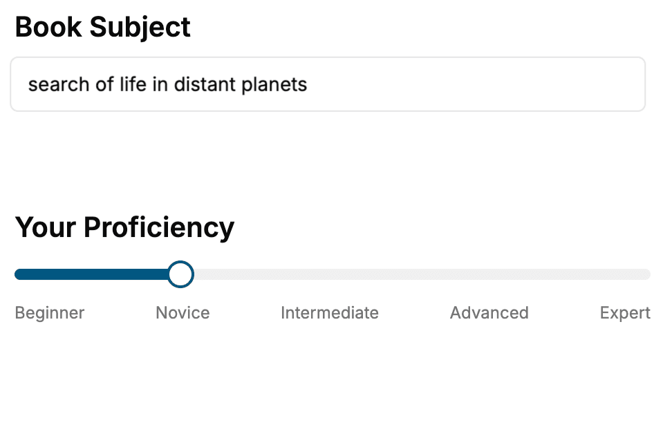
Select the focus of your Singapore Travel Guide book and share your background
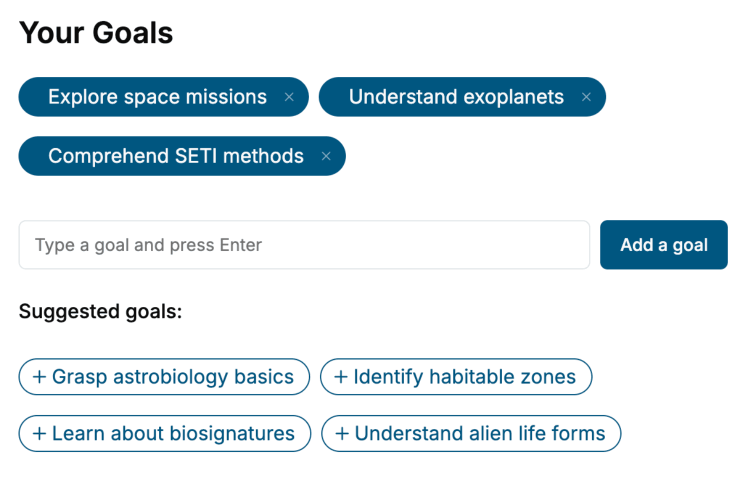
- 2. Personalize your book
Specify your goals and choose sub-topics to include
- 3. Get your tailored book
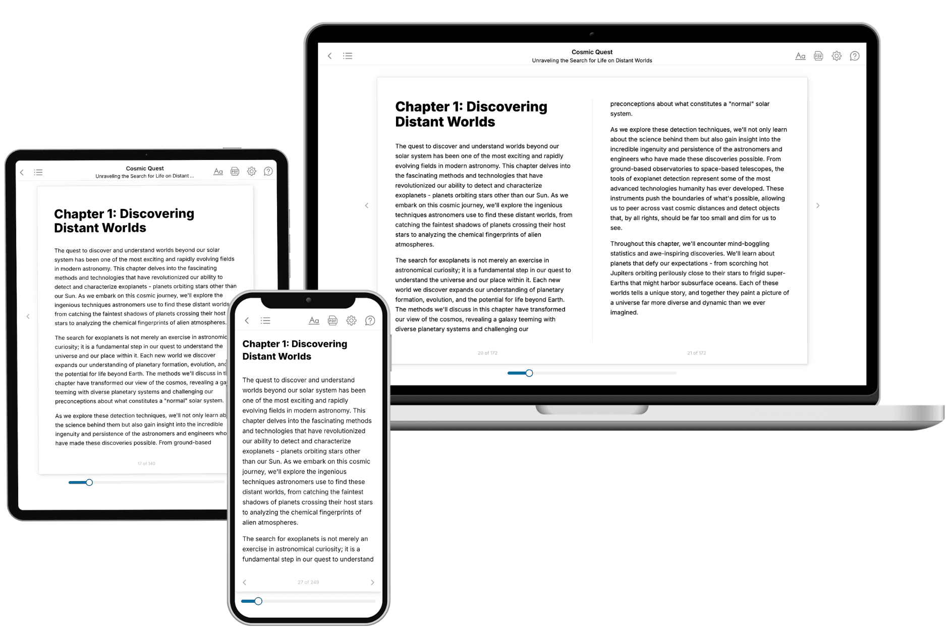
Your book is ready in 10 minutes. Read it online, download as EPUB or PDF, or send to Kindle.
Frequently asked questions
- What is TailoredRead?
TailoredRead creates complete, full-length nonfiction ebooks, written specifically for you. Tell us what you want to learn and why, and TailoredRead writes you a complete ebook on it, with charts, tables, and diagrams throughout. Read it online, on Kindle, or on any e-reader, or download it as a PDF or EPUB. Every book is written fresh the day you order it.
- How is the book tailored to me?
Before anything is written, you answer a few short questions about your goals, your background, and the topics you care about. Your book is then planned around your answers: written at your level, focused on your goals, and covering the topics you chose, instead of the one-size-fits-all book a store sells everyone.
- Will it read like generic AI content?
No. Your book isn't a chat transcript: it's planned chapter by chapter before a single word is written, told in a clear book voice, and explains ideas visually with charts, tables, and diagrams. After writing, every book goes through an editorial pass that polishes chapters so the book reads consistent from start to finish. Judge for yourself: browse thousands of sample books on our Explore Books page.
- How accurate is the content?
Our AI first checks whether your subject needs live research. Niche and fast-moving subjects are researched before writing, and the book plan and chapters are grounded in what it finds. After writing, every book goes through a quality pass that checks its facts and consistency, and researched books list their sources in a Notes section at the back.
- How long is the book?
You choose the length: Comprehensive (250-300 pages), Detailed (150-200 pages), Essential (70-100 pages), or Short (30-50 pages).
- Does the book include visuals?
Yes. Every book includes charts, tables, and diagrams: timelines, checklists, step-by-step guides, decision trees, comparison tables, matrices, and bar charts. A typical book includes dozens of these visual elements.
- Can I read it on Kindle? What formats can I download?
Yes. Every book can be read in our online reader or downloaded as a PDF or EPUB. The EPUB can be opened with Kindle, Apple Books, Kobo, and any e-reader. The Commercial and Author licenses also include an editable Word (DOCX) and Markdown download.
- How much does it cost?
About the price of a regular ebook. The exact price depends on your book's length and complexity, from $2 for the shortest books to $35 for the most comprehensive, and it's shown when you review your book, before you commit to anything. Each book is a one-time purchase, yours to keep, no subscription. Licenses that let you share, teach, or publish your book range from $35.99 to $49.99.
- Can I preview the book before purchasing?
Before you pay, you'll see what your book will cover: the title, a detailed description, the estimated length, and the complete chapter-by-chapter table of contents, so you know what you're getting before you decide. The full text itself is written after you purchase.
- How long does it take to create a book?
About 10 minutes. You can start reading the opening chapters while the rest is still being written.