Geospatial Insights
Advanced Techniques in Geographic Modeling for Human Geography and Social Sciences
Your world is a complex tapestry of spatial relationships and patterns.
284 pages14 chaptersFeb 13, 2025Geographic Information Systems
About this book
As you delve into "Geospatial Insights," you'll discover how to unravel these intricate connections using advanced geographic modeling techniques. This book is your compass in the realm of human geography and social sciences, guiding you through the landscape of spatial analysis with clarity and precision. You'll explore cutting-edge methods for visualizing and interpreting geographic data, from creating sophisticated maps to conducting in-depth spatial statistics. Each chapter builds upon the last, equipping you with the tools to tackle real-world challenges in urban planning, demographic analysis, and social research. By the time you reach the final page, you'll have transformed your approach to geographic analysis. You'll be able to harness the power of GIS software, apply advanced modeling techniques, and interpret results with confidence. Whether you're an urban planner, social scientist, or researcher, this book will elevate your work, allowing you to uncover hidden patterns and make more informed decisions that shape our understanding of human-environment interactions.
Table of contents
- IntroductionThe Importance of Geographic Modeling in Human Geography, Overview of the Book's Structure, How to Use This Book EffectivelyRead below
- Chapter 1: Foundations of Geographic ModelingKey Concepts in Geographic Modeling, Developing Spatial Thinking Skills, Understanding Geographic Data Types, Coordinate Systems and Projections
- Chapter 2: GIS Fundamentals for Social SciencesIntroduction to GIS Software, Data Input and Management, Basic Spatial Analysis Techniques, Creating Effective Maps
- Chapter 3: Advanced GIS TechniquesRaster Analysis in Social Contexts, Network Analysis for Urban Studies, 3D Modeling and Visualization, Remote Sensing Applications
- Chapter 4: Spatial Statistics and AnalysisDescriptive Spatial Statistics, Spatial Autocorrelation, Spatial Regression Models, Point Pattern Analysis
- Chapter 5: Data Visualization in Geographic ModelingPrinciples of Cartographic Design, Thematic Mapping Techniques, Creating Interactive Web Maps, Designing Effective Data Dashboards
- Chapter 6: Integrating Qualitative MethodsMixed Methods in Geographic Research, Participatory Mapping Techniques, Qualitative GIS Approaches, Spatial Narrative Analysis
- Chapter 7: Scale and Resolution in Geographic ModelingUnderstanding Scale Concepts, The Modifiable Areal Unit Problem, Multi-scale Analysis Techniques, Resolution Trade-offs in Modeling
- Chapter 8: Temporal Analysis in Geographic ModelingTime Series Analysis in GIS, Spatio-temporal Modeling Techniques, Change Detection Methods, Spatial Forecasting and Prediction
- Chapter 9: Urban Modeling ApplicationsLand Use and Land Cover Modeling, Transportation Network Analysis, Urban Growth and Sprawl Models, Accessibility and Service Area Analysis
- Chapter 10: Population and Demographic ModelingModeling Population Distribution, Analyzing Migration Patterns, Demographic Projections and Scenarios, Mapping Social Indicators
- Chapter 11: Environmental Modeling in Social ContextsHuman-Environment Interactions, Modeling Climate Change Impacts, Natural Resource Management Models, Environmental Hazard Assessment
- Chapter 12: Health Geography and Epidemiological ModelingDisease Mapping and Cluster Analysis, Modeling Access to Health Services, Environmental Health Risk Assessment, Spatial Analysis of Health Inequalities
- Chapter 13: Ethical Considerations and ChallengesPrivacy and Data Protection, Representation and Bias in Modeling, Responsible Use of Geographic Information, Ethical Decision-Making in Research
- Chapter 14: Future Directions in Geographic ModelingBig Data and Machine Learning, Virtual and Augmented Reality in Geography, Citizen Science and Crowdsourcing, Emerging Interdisciplinary Approaches
- ConclusionKey Takeaways, Continuing Your Geographic Modeling Journey
- Glossary
- Further Reading
Introduction
Welcome to the world of geographic modeling, where the complexities of human geography and social sciences come to life through advanced spatial analysis techniques. As you embark on this journey through "Geospatial Insights: Advanced Techniques in Geographic Modeling for Human Geography and Social Sciences," you are about to unlock a powerful set of tools and methodologies that will transform your understanding of spatial relationships and patterns. This book is designed to be your comprehensive guide, whether you're an urban planner seeking to optimize city layouts, a social scientist investigating demographic trends, or a researcher exploring the intricate connections between humans and their environment.
In an increasingly interconnected world, the ability to analyze and interpret spatial data has become more crucial than ever. Geographic modeling offers a unique lens through which to view and understand the myriad ways in which location and space influence human behavior, social phenomena, and environmental interactions. By mastering the techniques presented in this book, you will gain the capacity to uncover hidden patterns, make more informed decisions, and contribute meaningful insights to your field of study or professional practice.
Throughout this introduction, we will explore the fundamental importance of geographic modeling in human geography, provide an overview of the book's structure, and offer guidance on how to use this resource effectively. By the end of this chapter, you will have a clear roadmap for your journey through the subsequent chapters and a solid foundation upon which to build your expertise in geographic modeling.
The Importance of Geographic Modeling in Human Geography
Geographic modeling stands at the intersection of spatial analysis, data science, and human geography, offering a powerful means to understand and visualize the complex relationships that shape our world. In the realm of human geography, this approach is particularly valuable as it allows researchers and practitioners to quantify, analyze, and predict spatial patterns of human activity and their interactions with the environment. The importance of geographic modeling in this field cannot be overstated, as it provides a framework for addressing some of the most pressing issues facing society today.
One of the primary reasons geographic modeling has become indispensable in human geography is its ability to handle and make sense of the vast amounts of spatial data now available. With the proliferation of GPS-enabled devices, remote sensing technologies, and location-based services, we have access to unprecedented volumes of geospatial information. Geographic modeling techniques allow us to harness this data deluge, transforming raw information into actionable insights. For instance, urban planners can use these models to optimize public transportation routes based on population density and movement patterns, while social scientists can map the spread of cultural phenomena across regions and time[1].
Furthermore, geographic modeling enables researchers to uncover spatial relationships that might not be apparent through other forms of analysis. By incorporating the spatial dimension, these models can reveal how proximity, distance, and location influence various social and economic processes. This is particularly crucial in understanding phenomena such as urban sprawl, social segregation, or the diffusion of innovations. For example, a geographic model might demonstrate how the proximity to certain amenities affects property values, or how the spatial distribution of educational facilities impacts academic achievement across different neighborhoods.
The predictive power of geographic modeling is another key aspect of its importance in human geography. By analyzing historical spatial patterns and current trends, researchers can develop models that forecast future scenarios. This capability is invaluable for policymakers and planners who need to make decisions with long-term implications. Climate change adaptation strategies, urban development plans, and disaster preparedness measures all benefit from the foresight provided by geographic modeling techniques.
Moreover, geographic modeling serves as a bridge between qualitative and quantitative approaches in human geography. While traditional qualitative methods provide rich, contextual information about places and people, geographic modeling allows for the quantification and spatial representation of these insights. This integration of methods leads to a more comprehensive understanding of geographic phenomena. For instance, a study on gentrification might combine ethnographic research with spatial analysis of property values and demographic changes to provide a nuanced view of neighborhood transformation.
The visual nature of geographic modeling also makes it an excellent tool for communication and decision-making. Complex spatial relationships can be represented through maps, 3D visualizations, and interactive dashboards, making the information accessible to a wide audience. This visual approach is particularly effective in engaging stakeholders, from community members to policymakers, in discussions about spatial issues affecting their areas of interest.
In the context of globalization and increasing interconnectedness, geographic modeling helps us understand the multi-scale nature of many human geography phenomena. It allows researchers to analyze patterns and processes at various spatial scales, from local neighborhoods to global networks. This multi-scalar perspective is essential for addressing issues that transcend traditional boundaries, such as international migration, global supply chains, or the spread of ideas and cultures[2].
The importance of geographic modeling in human geography is also evident in its contribution to interdisciplinary research. As spatial thinking becomes more prevalent across various fields, geographic modeling serves as a common language and methodology for collaboration. Environmental scientists, sociologists, economists, and public health researchers can all leverage these techniques to incorporate spatial dimensions into their work, leading to more holistic and innovative approaches to complex societal challenges.
Lastly, geographic modeling plays a crucial role in promoting evidence-based decision-making in policy and planning. By providing quantitative analyses of spatial phenomena, these models offer objective evidence to support or challenge proposed interventions. This is particularly important in areas such as environmental justice, where the spatial distribution of risks and resources can have significant impacts on community well-being.
As we delve deeper into the techniques and applications of geographic modeling throughout this book, you will gain a greater appreciation for its transformative potential in human geography and related fields. The skills you develop will enable you to contribute to a more nuanced and spatially informed understanding of the world around us, addressing critical questions and challenges that shape our societies and environments.
Overview of the Book's Structure
"Geospatial Insights: Advanced Techniques in Geographic Modeling for Human Geography and Social Sciences" is structured to provide a comprehensive and logical progression through the field of geographic modeling. The book is designed to build your knowledge and skills incrementally, starting with foundational concepts and moving towards more advanced techniques and applications. This structure ensures that you can develop a solid understanding of geographic modeling, regardless of your initial level of expertise.
The book begins with Chapter 1, "Foundations of Geographic Modeling," which lays the groundwork for your journey. This chapter introduces key concepts in geographic modeling, helps you develop spatial thinking skills, and explains the various types of geographic data you'll encounter. It also covers the crucial topic of coordinate systems and projections, ensuring you have a solid grasp of how to represent the Earth's surface in your models.
Chapter 2, "GIS Fundamentals for Social Sciences," introduces you to Geographic Information Systems (GIS) software, which is the primary tool for geographic modeling. You'll learn about data input and management, basic spatial analysis techniques, and how to create effective maps. This chapter serves as a bridge between theoretical concepts and practical application, setting the stage for more advanced techniques.
As you progress, Chapter 3 delves into "Advanced GIS Techniques," where you'll explore more sophisticated methods such as raster analysis, network analysis, 3D modeling, and remote sensing applications. These techniques will expand your toolkit, allowing you to tackle more complex spatial problems in human geography and social sciences.
Chapter 4 focuses on "Spatial Statistics and Analysis," introducing you to the quantitative side of geographic modeling. You'll learn about descriptive spatial statistics, spatial autocorrelation, regression models, and point pattern analysis. These statistical methods are crucial for uncovering and validating spatial relationships in your data.
The importance of effective communication in geographic modeling is addressed in Chapter 5, "Data Visualization in Geographic Modeling." This chapter covers principles of cartographic design, thematic mapping techniques, the creation of interactive web maps, and the design of data dashboards. These skills will enable you to present your findings in compelling and accessible ways.
Chapter 6, "Integrating Qualitative Methods," bridges the gap between quantitative and qualitative approaches in geographic research. You'll explore mixed methods, participatory mapping techniques, qualitative GIS approaches, and spatial narrative analysis. This integration of methods will enrich your research and provide a more holistic understanding of geographic phenomena.
The critical concepts of scale and resolution are addressed in Chapter 7, "Scale and Resolution in Geographic Modeling." You'll learn about scale concepts, the Modifiable Areal Unit Problem, multi-scale analysis techniques, and how to navigate resolution trade-offs in your models. Understanding these concepts is essential for accurate interpretation and application of geographic models.
Chapter 8 introduces the temporal dimension with "Temporal Analysis in Geographic Modeling." You'll explore time series analysis in GIS, spatio-temporal modeling techniques, change detection methods, and spatial forecasting. These skills will allow you to incorporate the dynamic nature of geographic phenomena into your models.
The next several chapters focus on specific applications of geographic modeling in various domains of human geography and social sciences. Chapter 9 covers "Urban Modeling Applications," including land use modeling, transportation network analysis, urban growth models, and accessibility analysis. Chapter 10 addresses "Population and Demographic Modeling," exploring techniques for modeling population distribution, analyzing migration patterns, creating demographic projections, and mapping social indicators.
Chapter 11, "Environmental Modeling in Social Contexts," examines the intersection of human and environmental systems. You'll learn about modeling human-environment interactions, climate change impacts, natural resource management, and environmental hazard assessment. Chapter 12 focuses on "Health Geography and Epidemiological Modeling," covering disease mapping, health service access modeling, environmental health risk assessment, and spatial analysis of health inequalities.
As you near the end of the book, Chapter 13 addresses the crucial topic of "Ethical Considerations and Challenges" in geographic modeling. This chapter discusses privacy concerns, representation and bias in modeling, responsible use of geographic information, and ethical decision-making in research. These considerations are essential for ensuring that your work in geographic modeling is not only technically sound but also ethically responsible.
The final chapter, "Future Directions in Geographic Modeling," looks ahead to emerging trends and technologies that are shaping the field. You'll explore the impact of big data and machine learning, the potential of virtual and augmented reality in geography, the role of citizen science and crowdsourcing, and emerging interdisciplinary approaches. This chapter will prepare you to continue your learning journey beyond the book and stay at the forefront of geographic modeling.
The book concludes with a comprehensive glossary of terms and a curated list of further reading materials, providing you with resources to deepen your understanding of specific topics and stay updated with the latest developments in the field.
By structuring the book in this way, you are guided through a logical progression of knowledge and skills, from fundamental concepts to advanced applications and future trends. This approach ensures that you can build a comprehensive understanding of geographic modeling and its applications in human geography and social sciences, regardless of your starting point.
How to Use This Book Effectively
To maximize your learning experience and gain the most from "Geospatial Insights: Advanced Techniques in Geographic Modeling for Human Geography and Social Sciences," it's important to approach the book with a strategic mindset. This section will provide you with practical advice on how to use this book effectively, ensuring that you not only absorb the information but also develop the skills to apply geographic modeling techniques in your own work.
First and foremost, it's crucial to recognize that this book is designed to be both a comprehensive guide and a practical resource. While you can certainly read it from cover to cover, you may also find it valuable to use it as a reference, focusing on specific chapters or sections that are most relevant to your current needs or interests. The detailed table of contents and index will help you quickly locate information on particular topics or techniques.
As you begin each chapter, take the time to read the introduction carefully. These introductions provide context for the material that follows and often include key questions or concepts that will be addressed. This context will help you frame your understanding of the chapter's content and its relevance to your work or studies. Additionally, pay attention to the learning objectives often stated at the beginning of each chapter. These objectives will give you a clear idea of what you should be able to do or understand by the end of the chapter.
Throughout the book, you'll encounter numerous examples, case studies, and practical applications of geographic modeling techniques. Don't simply skim over these; they are integral to understanding how the concepts and methods are applied in real-world scenarios. Try to relate these examples to your own experiences or areas of interest. Consider how you might adapt or extend these approaches to address questions in your own field of study or professional practice.
Many chapters include hands-on exercises or tutorials. It's highly recommended that you work through these practical components as you encounter them. Learning geographic modeling is an active process, and these exercises are designed to reinforce your understanding and develop your skills. If possible, use the same or similar GIS software and datasets mentioned in the book to follow along with the examples and exercises. This hands-on experience is invaluable for truly grasping the techniques and their applications.
Take advantage of the visual aids provided throughout the book, including maps, diagrams, and charts. These visuals are not mere illustrations but are often key to understanding spatial concepts and patterns. Study them carefully and relate them to the accompanying text. In many cases, you may find it helpful to sketch or recreate these visuals as part of your note-taking process, as this can reinforce your understanding of spatial relationships and modeling techniques.
As you progress through the book, make an effort to connect concepts across chapters. Geographic modeling is a multifaceted field, and many techniques and ideas are interrelated. For example, the statistical methods you learn in Chapter 4 may inform the visualization techniques covered in Chapter 5, or the scale considerations from Chapter 7 might influence how you approach urban modeling in Chapter 9. By actively seeking these connections, you'll develop a more holistic understanding of geographic modeling.
Don't hesitate to supplement your reading with additional resources. The "Further Reading" section at the end of the book provides a curated list of references and resources for deeper exploration of specific topics. Additionally, seek out current journal articles, conference proceedings, or online resources that relate to the chapters you're studying. This will help you stay abreast of the latest developments in the field and see how the techniques you're learning are being applied in cutting-edge research.
As you encounter new terms or concepts, make use of the glossary provided at the end of the book. Building a strong vocabulary in geographic modeling will enhance your ability to engage with the material and communicate effectively with other professionals in the field. Consider creating your own glossary or flashcards as you progress through the book, adding terms and concepts that are particularly relevant to your interests or work.
Reflection and application are key to deep learning. After completing each chapter, take some time to reflect on what you've learned. Ask yourself how the techniques and concepts could be applied to problems or questions in your own work or research. Try to formulate your own research questions or project ideas that could utilize the methods you've learned. This active engagement with the material will help solidify your understanding and spark creative applications of geographic modeling in your field.
Don't overlook the importance of the ethical considerations discussed in Chapter 13. As you learn and apply geographic modeling techniques, constantly reflect on the ethical implications of your work. Consider how issues of privacy, representation, and responsible use of geographic information apply to your specific projects or research areas.
Finally, remember that learning geographic modeling is an ongoing process. The field is constantly evolving with new technologies, data sources, and methodologies. Use this book as a foundation, but stay curious and continue to explore new developments in the field. Engage with online communities, attend workshops or conferences, and seek out opportunities to collaborate with others who share your interests in geographic modeling.
By approaching "Geospatial Insights" with these strategies in mind, you'll be well-equipped to not only understand the content but also to apply it effectively in your own work. The knowledge and skills you gain from this book will serve as a solid foundation for your continued growth and success in the field of geographic modeling for human geography and social sciences.
This is the end of the free sample. The full book has 14 chapters.
Want this book written for you?
Tell us your goals and background, and get your own version of this book, tailored by AI to you.


Benefits of AI-tailored books
- Read one book, not ten:
- all the Geographic Information Systems knowledge you need, gathered into a single book.
- Save days of learning:
- tell us your goals, choose your topics, and the whole book is built around them.
- Learn effortlessly:
- Geographic Information Systems book written for your specific background and expertise.
- Understand at a glance:
- includes charts, tables, timelines, checklists, decision trees, and more.
- Stay current:
- written the day you order it, not years ago.
- Trust what you read:
- every book is checked for accuracy, with real research when your subject needs it.
Create your unique book in 3 steps
- 1. Select your focus
Select the focus of your Geographic Information Systems book and share your background
- 2. Personalize your book
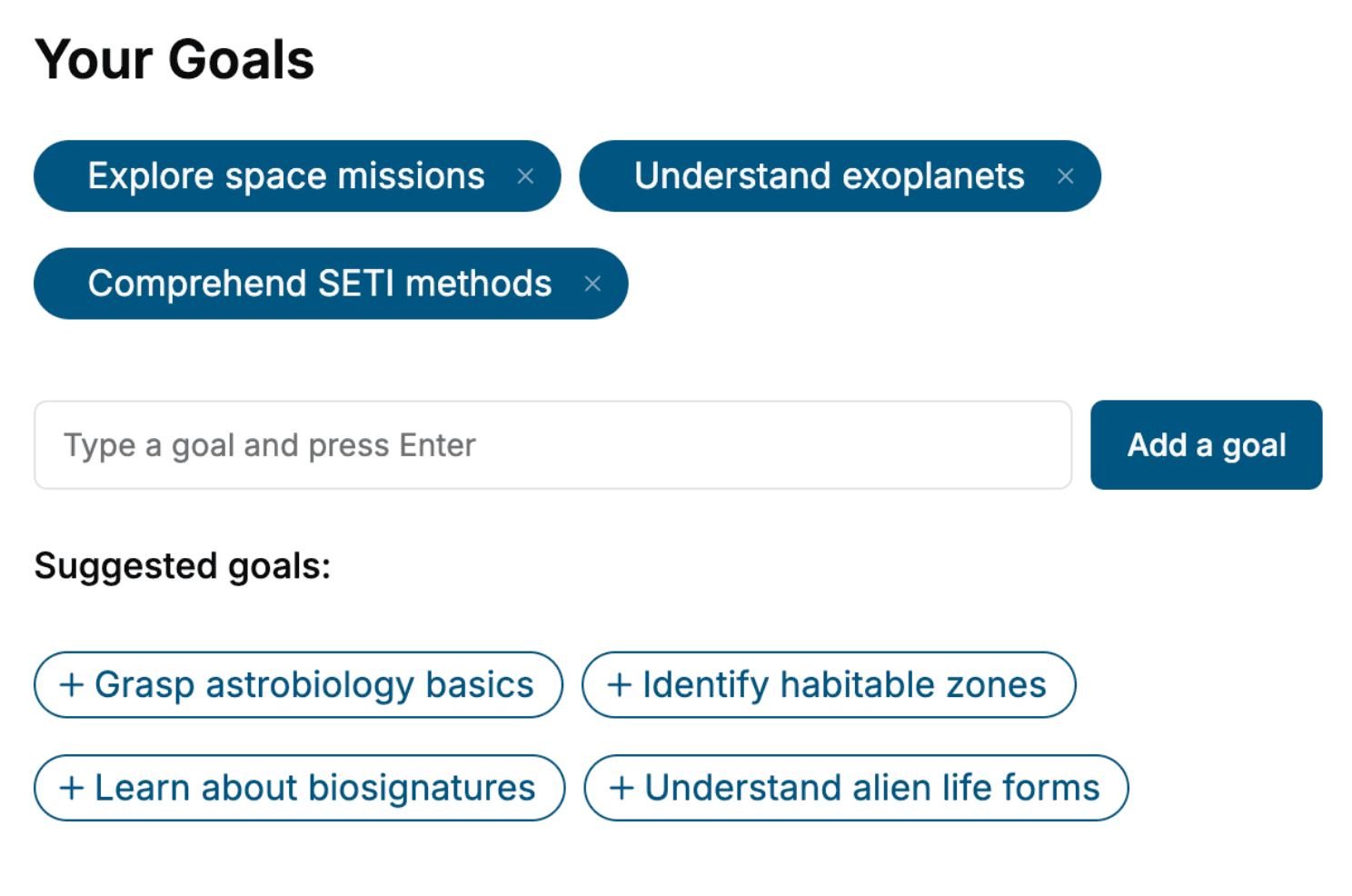
Specify your goals and choose sub-topics to include
- 3. Get your tailored book
Your book is ready in 10 minutes. Read it online, download as EPUB or PDF, or send to Kindle.

Frequently asked questions
- What is TailoredRead?
TailoredRead creates complete, full-length nonfiction ebooks, written specifically for you. Tell us what you want to learn and why, and TailoredRead writes you a complete ebook on it, with charts, tables, and diagrams throughout. Read it online, on Kindle, or on any e-reader, or download it as a PDF or EPUB. Every book is written fresh the day you order it.
- How is the book tailored to me?
Before anything is written, you answer a few short questions about your goals, your background, and the topics you care about. Your book is then planned around your answers: written at your level, focused on your goals, and covering the topics you chose, instead of the one-size-fits-all book a store sells everyone.
- Will it read like generic AI content?
No. Your book isn't a chat transcript: it's planned chapter by chapter before a single word is written, told in a clear book voice, and explains ideas visually with charts, tables, and diagrams. After writing, every book goes through an editorial pass that polishes chapters so the book reads consistent from start to finish. Judge for yourself: browse thousands of sample books on our Explore Books page.
- How accurate is the content?
Our AI first checks whether your subject needs live research. Niche and fast-moving subjects are researched before writing, and the book plan and chapters are grounded in what it finds. After writing, every book goes through a quality pass that checks its facts and consistency, and researched books list their sources in a Notes section at the back.
- How long is the book?
You choose the length: Comprehensive (250-300 pages), Detailed (150-200 pages), Essential (70-100 pages), or Short (30-50 pages).
- Does the book include visuals?
Yes. Every book includes charts, tables, and diagrams: timelines, checklists, step-by-step guides, decision trees, comparison tables, matrices, and bar charts. A typical book includes dozens of these visual elements.
- Can I read it on Kindle? What formats can I download?
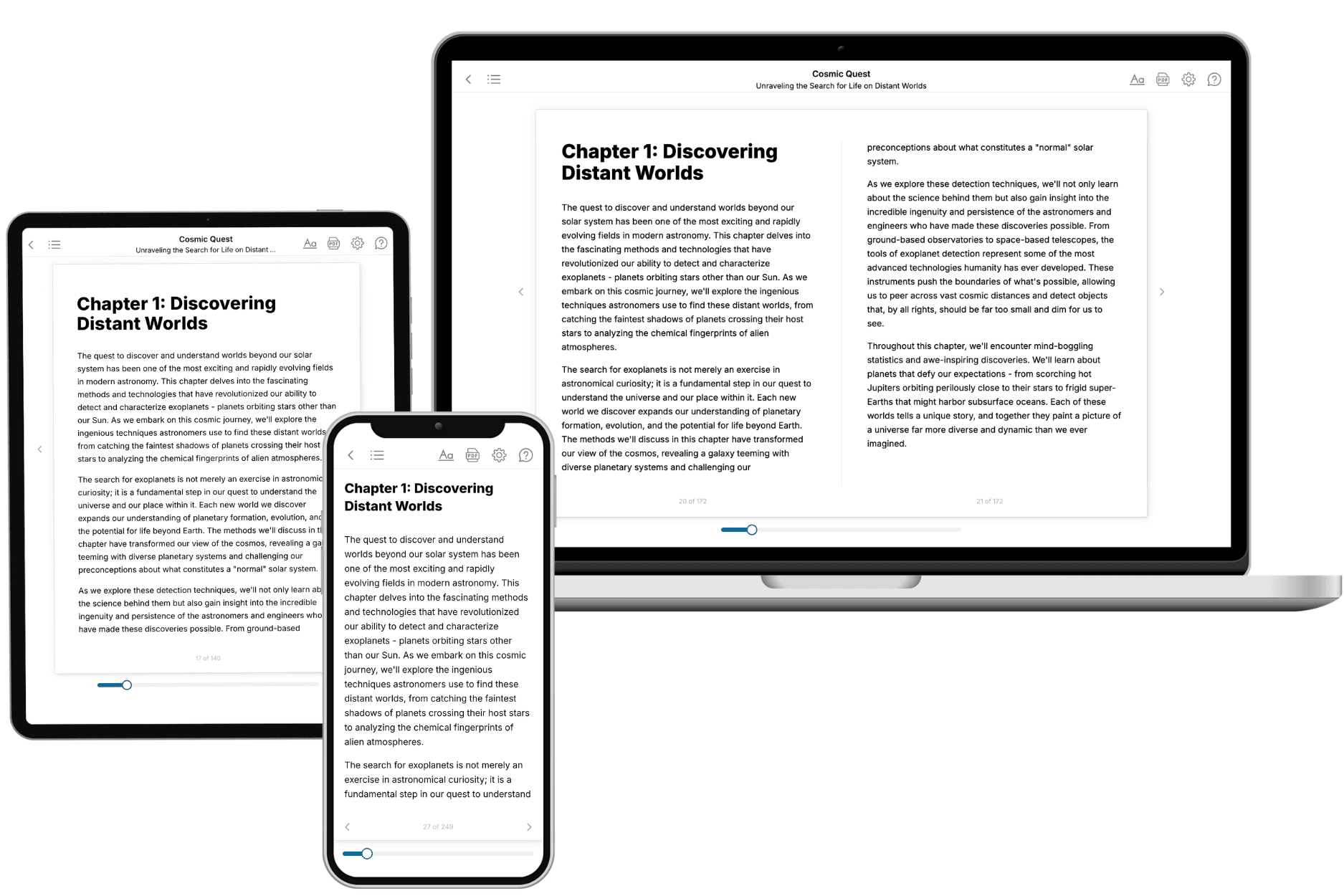
Yes. Every book can be read in our online reader or downloaded as a PDF or EPUB. The EPUB can be opened with Kindle, Apple Books, Kobo, and any e-reader. The Commercial and Author licenses also include an editable Word (DOCX) and Markdown download.
- How much does it cost?
About the price of a regular ebook. The exact price depends on your book's length and complexity, from $2 for the shortest books to $35 for the most comprehensive, and it's shown when you review your book, before you commit to anything. Each book is a one-time purchase, yours to keep, no subscription. Licenses that let you share, teach, or publish your book range from $35.99 to $49.99.
- Can I preview the book before purchasing?
Before you pay, you'll see what your book will cover: the title, a detailed description, the estimated length, and the complete chapter-by-chapter table of contents, so you know what you're getting before you decide. The full text itself is written after you purchase.
- How long does it take to create a book?
About 10 minutes. You can start reading the opening chapters while the rest is still being written.