Mastering Predictive Modeling for Image Classification
A Comprehensive Guide for Spatial Analysts Using Python and Machine Learning
Dive deep into the world of predictive modeling and image classification with this comprehensive guide tailored for spatial analysts.
269 pages13 chaptersSep 27, 2024Machine LearningCreated by Eva
About this book
"Mastering Predictive Modeling for Image Classification" bridges the gap between geospatial science and advanced machine learning techniques, providing a robust framework for analyzing satellite imagery and remote sensing data. This book offers a hands-on approach, guiding readers through the entire workflow of image classification projects using Python. From preprocessing and data augmentation to model development and deployment, each chapter builds upon the last, ensuring a gradual yet thorough learning experience. Readers will explore cutting-edge topics such as Bayesian optimization for hyperparameter tuning, techniques for quantifying uncertainty in predictions, and methods for improving model interpretability. With a focus on practical applications in spatial analysis, this book equips you with the tools to optimize model accuracy, automate image processing, and master the intricacies of working with geospatial data. Whether you're looking to enhance your skills in remote sensing, delve into advanced machine learning algorithms, or streamline your Python workflow for large-scale image classification tasks, this book provides the knowledge and techniques you need to excel in your field and push the boundaries of what's possible with predictive modeling.
Table of contents
- IntroductionThe Importance of Predictive Modeling in Spatial Analysis, Overview of Image Classification Techniques, Book Structure and How to Use It, The Python Ecosystem for Machine LearningRead below
- Chapter 1: Fundamentals of Image ClassificationUnderstanding Image Data, Overview of Classification Algorithms, Feature Extraction Techniques, Evaluation Metrics for Image Classification
- Chapter 2: Setting Up Your Python EnvironmentInstalling Python and Essential Libraries, Working with Virtual Environments, Using Jupyter Notebooks for Interactive Development, Version Control with Git
- Chapter 3: Image Preprocessing TechniquesLoading and Handling Image Data, Image Normalization and Standardization, Noise Reduction and Filtering, Color Space Transformations, Edge Detection and Feature Enhancement
- Chapter 4: Data Augmentation StrategiesThe Importance of Data Augmentation, Geometric Transformations, Color Space Augmentations, Noise Injection and Filtering, Advanced Augmentation Techniques
- Chapter 5: Feature Engineering for Satellite ImagerySpectral Indices and Band Ratios, Texture Analysis, Object-Based Image Analysis, Temporal Feature Extraction
- Chapter 6: Dimensionality Reduction TechniquesPrincipal Component Analysis (PCA), Linear Discriminant Analysis (LDA), t-SNE for High-Dimensional Data Visualization, Autoencoders for Feature Compression
- Chapter 7: Traditional Machine Learning AlgorithmsDecision Trees and Random Forests, Support Vector Machines, k-Nearest Neighbors, Ensemble Methods
- Chapter 8: Deep Learning for Image ClassificationConvolutional Neural Network Basics, Transfer Learning with Pre-trained Models, Designing Custom CNN Architectures, GPU Acceleration for Deep Learning
- Chapter 9: Hyperparameter Tuning and OptimizationGrid Search and Random Search, Bayesian Optimization, Genetic Algorithms for Hyperparameter Tuning, Automated Machine Learning (AutoML)
- Chapter 10: Uncertainty Quantification in PredictionsBayesian Inference and Probabilistic Models, Monte Carlo Methods for Uncertainty Estimation, Ensemble Methods for Uncertainty Quantification, Model Calibration and Reliability
- Chapter 11: Model Interpretability TechniquesFeature Importance Analysis, SHAP (SHapley Additive exPlanations) Values, LIME (Local Interpretable Model-agnostic Explanations), Activation Maps and Saliency Maps
- Chapter 12: Model Deployment and IntegrationModel Serialization and Deserialization, Developing APIs for Model Serving, Cloud Deployment Options, Edge Deployment for Real-time Processing, Model Monitoring and Maintenance
- Chapter 13: Advanced Topics in Image ClassificationWorking with Multi-spectral and Hyperspectral Data, Time Series Analysis of Satellite Imagery, Object Detection and Segmentation, Domain Adaptation and Transfer Learning
- ConclusionFuture Trends in Predictive Modeling and Image Classification, The Importance of Continuous Learning, Ethical Considerations in Machine Learning for Geospatial Analysis
- AppendixEssential Python Libraries for Image Classification, Publicly Available Datasets for Practice, Additional Learning Resources
- Glossary
Introduction
Welcome to "Mastering Predictive Modeling for Image Classification: A Comprehensive Guide for Spatial Analysts Using Python and Machine Learning." This book is designed to be your companion on a journey through the fascinating world of predictive modeling and image classification, with a specific focus on applications in spatial analysis, satellite imagery, and remote sensing. As we embark on this exploration together, it's important to understand the context and significance of the tools and techniques we'll be discussing.
In recent years, the field of spatial analysis has undergone a remarkable transformation, driven by advancements in machine learning and the increasing availability of high-quality satellite imagery. These developments have opened up new possibilities for understanding and interpreting our world, from monitoring environmental changes to urban planning and disaster response. As a spatial analyst, your ability to harness these powerful tools can significantly enhance your capabilities and the impact of your work.
Throughout this book, we'll delve into the intricacies of predictive modeling and image classification, providing you with a solid foundation in the underlying concepts and practical skills needed to apply these techniques effectively. We'll explore the Python ecosystem, which has become the de facto standard for data science and machine learning, and learn how to leverage its vast array of libraries and tools to build sophisticated models and workflows.
Our journey will take us from the fundamentals of image classification to advanced topics such as deep learning, hyperparameter optimization, and model interpretability. Along the way, we'll tackle real-world challenges and explore best practices for working with geospatial data. By the end of this book, you'll have a comprehensive understanding of how to approach image classification projects, from data preprocessing to model deployment, and be well-equipped to apply these skills in your own work.
Let's begin by exploring the key components of our introduction, which will set the stage for the chapters that follow.
The Importance of Predictive Modeling in Spatial Analysis
Predictive modeling has become an indispensable tool in the field of spatial analysis, revolutionizing the way we interpret and utilize geospatial data. At its core, predictive modeling in spatial analysis involves using statistical techniques and machine learning algorithms to forecast future patterns, trends, or outcomes based on historical and current spatial data. This approach allows analysts to move beyond descriptive analysis and into the realm of proactive decision-making, offering invaluable insights for a wide range of applications.
One of the primary reasons for the growing importance of predictive modeling in spatial analysis is its ability to handle the vast amounts of data generated by modern remote sensing technologies. Satellite imagery, in particular, has seen a dramatic increase in both quantity and quality over the past few decades. With the launch of high-resolution satellites and the implementation of more frequent revisit times, we now have access to an unprecedented wealth of Earth observation data. This data deluge presents both a challenge and an opportunity for spatial analysts. Predictive modeling techniques provide the means to extract meaningful patterns and insights from this complex, multi-dimensional data, enabling us to make more informed decisions about our environment and resources.
The applications of predictive modeling in spatial analysis are diverse and far-reaching. In urban planning, for instance, predictive models can forecast population growth patterns, helping city planners make informed decisions about infrastructure development and resource allocation. In agriculture, these models can predict crop yields based on various environmental factors, allowing farmers to optimize their practices and improve food security. Environmental scientists use predictive modeling to track and forecast changes in ecosystems, aiding in conservation efforts and climate change mitigation strategies. Even in disaster management, predictive models play a crucial role in assessing risk and planning emergency responses.
The power of predictive modeling lies in its ability to uncover complex relationships within spatial data that may not be immediately apparent through traditional analysis methods. By incorporating multiple variables and their interactions, these models can reveal subtle patterns and dependencies that drive spatial phenomena. This capability is particularly valuable when dealing with the intricate systems that characterize our natural and built environments.
Moreover, predictive modeling in spatial analysis allows for the quantification of uncertainty, which is crucial for making robust decisions. By providing probabilistic forecasts rather than single-point predictions, these models give decision-makers a more nuanced understanding of potential outcomes and the confidence levels associated with them. This approach is especially important in fields where the stakes are high, such as climate change adaptation or urban development planning.
The integration of machine learning techniques into spatial analysis has further enhanced the capabilities of predictive modeling. Machine learning algorithms, particularly deep learning models, have shown remarkable success in extracting features and patterns from complex spatial data. These techniques can automatically learn relevant features from raw data, reducing the need for manual feature engineering and potentially uncovering insights that human analysts might overlook. As a result, machine learning-based predictive models can often achieve higher accuracy and generalize better to new, unseen data compared to traditional statistical approaches.
Another significant aspect of predictive modeling in spatial analysis is its ability to handle multi-temporal data. Many spatial phenomena evolve over time, and capturing these dynamics is crucial for accurate predictions. Modern predictive models can incorporate time series data, allowing analysts to track changes, identify trends, and make forecasts that account for temporal patterns. This capability is particularly valuable in fields such as land use change detection, climate modeling, and urban growth prediction.
The importance of predictive modeling in spatial analysis is also evident in its role in supporting evidence-based decision-making. By providing quantitative assessments of future scenarios, these models help policymakers and stakeholders make more informed choices. They can simulate the potential outcomes of different interventions or policies, allowing for a more systematic evaluation of options before implementation. This approach can lead to more effective and efficient use of resources, as well as better long-term planning.
As we move forward in this book, we'll explore the various techniques and tools that make predictive modeling such a powerful asset in spatial analysis. We'll learn how to build models that can extract meaningful insights from satellite imagery, how to evaluate and improve their performance, and how to interpret their results in the context of real-world applications. By mastering these skills, you'll be well-equipped to harness the full potential of predictive modeling in your spatial analysis work, contributing to more informed decision-making and a deeper understanding of our complex world.
Overview of Image Classification Techniques
Image classification is a fundamental task in computer vision and a critical component of many spatial analysis applications. At its core, image classification involves assigning predefined categories or labels to an image based on its content. In the context of spatial analysis and remote sensing, this technique is used to interpret satellite imagery, aerial photographs, and other forms of geospatial data, enabling us to map land cover, monitor environmental changes, and detect objects of interest over large areas.
The field of image classification has evolved significantly over the years, driven by advancements in machine learning and the increasing availability of high-quality image data. Traditional approaches to image classification relied heavily on manual feature engineering and relatively simple classification algorithms. However, modern techniques, particularly those based on deep learning, have dramatically improved the accuracy and efficiency of image classification tasks. Let's explore the spectrum of image classification techniques, from traditional methods to cutting-edge deep learning approaches.
One of the earliest and most straightforward approaches to image classification is pixel-based classification. This method considers each pixel in an image independently and assigns it to a class based on its spectral characteristics. For example, in a land cover classification task, pixels with certain reflectance values in specific spectral bands might be classified as water, vegetation, or urban areas. While simple to implement, pixel-based methods often struggle with complex scenes and can produce noisy results, especially when dealing with high-resolution imagery where individual pixels may not represent meaningful units on the ground.
Object-based image analysis (OBIA) emerged as a more sophisticated approach to address some of the limitations of pixel-based methods. OBIA first segments an image into homogeneous objects or regions based on spectral and spatial characteristics. These objects, rather than individual pixels, then become the units of analysis. Classification is performed on these objects, taking into account not only spectral information but also shape, texture, context, and spatial relationships. OBIA has proven particularly effective for high-resolution imagery, where objects of interest often span multiple pixels. This approach can produce more coherent and meaningful classifications, especially in complex urban or natural landscapes.
Machine learning algorithms have long been applied to image classification tasks, even before the rise of deep learning. Traditional machine learning approaches typically involve two main steps: feature extraction and classification. In the feature extraction phase, relevant characteristics of the image are computed, such as texture measures, spectral indices, or geometric properties. These features are then used as inputs to a classification algorithm. Common classifiers in this category include Support Vector Machines (SVM), Random Forests, and k-Nearest Neighbors (k-NN). These methods can be highly effective, especially when domain expertise is used to design relevant features. However, they often require significant effort in feature engineering and may struggle with very complex or large-scale classification tasks.
The advent of deep learning, particularly Convolutional Neural Networks (CNNs), has revolutionized the field of image classification. CNNs are designed to automatically learn hierarchical features from raw image data, eliminating the need for manual feature engineering. These networks consist of multiple layers that progressively learn to recognize more complex patterns, from simple edges and textures in the early layers to high-level semantic concepts in the deeper layers. The power of CNNs lies in their ability to capture intricate spatial hierarchies and contextual information within images, leading to state-of-the-art performance on many image classification tasks.
Transfer learning has emerged as a particularly powerful technique in the era of deep learning. This approach involves using pre-trained models, typically trained on large general-purpose image datasets, and fine-tuning them for specific tasks. Transfer learning allows us to leverage the feature extraction capabilities of sophisticated models even when we have limited domain-specific training data. This technique has proven especially valuable in remote sensing applications, where labeled data can be scarce or expensive to obtain.
Ensemble methods represent another important category of image classification techniques. These approaches combine multiple classifiers to produce a final prediction, often achieving higher accuracy and robustness than individual models. Ensemble methods can be applied to both traditional machine learning classifiers and deep learning models. Common ensemble strategies include bagging (e.g., Random Forests), boosting (e.g., Gradient Boosting Machines), and stacking (combining predictions from diverse models).
As we delve deeper into image classification techniques throughout this book, we'll explore how these various approaches can be applied to spatial analysis tasks. We'll learn how to preprocess satellite imagery, extract meaningful features, train and fine-tune deep learning models, and evaluate classification results. We'll also discuss the trade-offs between different approaches and how to choose the most appropriate technique for a given task.
It's important to note that the field of image classification is rapidly evolving, with new techniques and architectures being developed regularly. As we progress through this book, we'll not only cover established methods but also touch on cutting-edge approaches and emerging trends. This will equip you with a comprehensive understanding of the current state of the art in image classification and prepare you to adapt to future developments in the field.
By mastering these image classification techniques, you'll be able to extract valuable insights from satellite imagery and other geospatial data sources, enhancing your capabilities as a spatial analyst and contributing to a wide range of applications in environmental monitoring, urban planning, agriculture, and beyond. As we move forward, we'll build on this foundation, exploring how to implement these techniques in Python and integrate them into your spatial analysis workflows.
Book Structure and How to Use It
This book is designed to provide a comprehensive and structured approach to mastering predictive modeling for image classification, with a specific focus on applications in spatial analysis. The content is organized to build your knowledge and skills progressively, starting from foundational concepts and moving towards advanced techniques and practical implementations. To help you navigate this journey effectively, let's explore the structure of the book and discuss how to make the most of its contents.
The book is divided into several key sections, each addressing a crucial aspect of predictive modeling and image classification. We begin with the fundamentals, ensuring that you have a solid grasp of the basic concepts and terminology. From there, we delve into the practical aspects of setting up your Python environment and working with image data. As we progress, we explore increasingly sophisticated techniques, culminating in advanced topics and real-world applications.
Chapter 1, "Fundamentals of Image Classification," lays the groundwork for your understanding of image data, classification algorithms, and evaluation metrics. This chapter is essential for building a strong foundation, even if you have some prior experience in the field. It ensures that we're all on the same page regarding key concepts and terminology.
In Chapter 2, "Setting Up Your Python Environment," we guide you through the process of creating a robust development environment for your image classification projects. This includes installing necessary libraries, working with virtual environments, and using tools like Jupyter Notebooks for interactive development. Even if you're already comfortable with Python, this chapter may introduce you to best practices and tools that can enhance your workflow.
Chapters 3 and 4 focus on data preprocessing and augmentation, crucial steps in any machine learning pipeline. These chapters cover techniques for handling image data, normalizing inputs, and expanding your dataset through augmentation strategies. The skills you learn here will be applicable across a wide range of image classification tasks.
As we move into more advanced territory, Chapters 5 and 6 explore feature engineering and dimensionality reduction. These chapters bridge the gap between traditional machine learning approaches and modern deep learning techniques, providing you with a versatile toolkit for tackling diverse classification problems.
Chapters 7 and 8 dive into the heart of machine learning algorithms, covering both traditional methods and deep learning approaches. Here, you'll gain hands-on experience implementing various classifiers and understanding their strengths and weaknesses in the context of spatial analysis.
The later chapters of the book address critical aspects of model development and deployment. Chapter 9 covers hyperparameter tuning and optimization, essential skills for maximizing the performance of your models. Chapter 10 explores uncertainty quantification, a crucial consideration when making decisions based on model predictions. Chapter 11 delves into model interpretability, helping you understand and explain the decisions made by your classifiers. Finally, Chapter 12 guides you through the process of deploying your models and integrating them into operational workflows.
To make the most of this book, we recommend following these guidelines:
- Read sequentially: While it may be tempting to jump directly to advanced topics, the book is designed to build your knowledge progressively. Each chapter builds on concepts introduced in previous sections.
- Hands-on practice: Throughout the book, you'll find code examples and practical exercises. We strongly encourage you to work through these examples, experimenting with the code and adapting it to your own datasets when possible.
- Explore further: At the end of each chapter, we provide references and suggestions for further reading. These resources can help you deepen your understanding of specific topics that interest you.
- Apply to your work: As you progress through the book, consider how the techniques you're learning can be applied to your own spatial analysis projects. Try to adapt the examples to your specific use cases.
- Engage with the community: Machine learning and spatial analysis have vibrant communities. Don't hesitate to seek help or share your insights on forums, social media, or local meetups.
Remember that mastering predictive modeling and image classification is an ongoing journey. This book provides you with a solid foundation and advanced techniques, but the field is constantly evolving. We encourage you to stay curious, keep learning, and continue exploring new developments in the field even after you've completed the book.
As you work through the chapters, you'll notice that we've included a mix of theoretical explanations and practical implementations. This approach is designed to give you both a deep understanding of the underlying concepts and the skills to apply them in real-world scenarios. The code examples are primarily in Python, using popular libraries such as scikit-learn, TensorFlow, and PyTorch. While prior experience with these libraries is helpful, we provide explanations and resources to help you get up to speed if you're new to them.
Throughout the book, we've also incorporated case studies and real-world examples from the field of spatial analysis. These examples are designed to illustrate how the techniques you're learning can be applied to solve practical problems in remote sensing, environmental monitoring, urban planning, and other related fields. By connecting theory to practice, we aim to make the learning process more engaging and relevant to your work as a spatial analyst.
Finally, we want to emphasize the importance of experimentation and creativity in your learning journey. While we provide proven techniques and best practices, we also encourage you to think critically about the methods presented and to explore variations and alternatives. The field of machine learning is rapidly evolving, and some of the most significant breakthroughs come from innovative approaches to existing problems. As you gain confidence in your skills, don't be afraid to push boundaries and develop novel solutions to the unique challenges you encounter in your work.
By the end of this book, you'll have a comprehensive understanding of predictive modeling for image classification, along with the practical skills to implement these techniques in your spatial analysis projects. Whether you're looking to enhance existing workflows or tackle entirely new challenges, the knowledge you gain here will be a valuable asset in your professional toolkit. Let's embark on this exciting journey together, exploring the powerful intersection of machine learning, image analysis, and spatial science.
The Python Ecosystem for Machine Learning
The Python programming language has emerged as the de facto standard for data science and machine learning, thanks to its simplicity, versatility, and the rich ecosystem of libraries and tools that have been developed around it. For spatial analysts venturing into predictive modeling and image classification, understanding this ecosystem is crucial. In this section, we'll explore the key components of the Python ecosystem for machine learning, with a particular focus on tools relevant to image classification and spatial analysis.
At the core of Python's machine learning ecosystem is NumPy, a fundamental library for numerical computing. NumPy provides support for large, multi-dimensional arrays and matrices, along with a collection of mathematical functions to operate on these arrays efficiently. When working with image data, which is essentially multi-dimensional arrays of pixel values, NumPy becomes an indispensable tool. It allows us to perform operations like array slicing, reshaping, and mathematical transformations with ease and efficiency.
Building on top of NumPy is Pandas, a powerful library for data manipulation and analysis. While Pandas is more commonly associated with tabular data, it can be incredibly useful in image classification projects for managing metadata, organizing datasets, and handling non-image data that may be associated with your imagery (e.g., timestamps, geographic coordinates, or sensor information). Pandas provides data structures like DataFrames that make it easy to work with structured data alongside your image processing workflows.
For image processing tasks, the Python ecosystem offers several specialized libraries. OpenCV (Open Source Computer Vision Library) is a comprehensive library that provides a wide range of image processing functions. From basic operations like resizing and color space conversions to more advanced techniques like edge detection and image segmentation, OpenCV is a versatile tool for preparing your image data for classification tasks. Another important library in this space is Pillow, a fork of the Python Imaging Library (PIL), which provides a more user-friendly interface for opening, manipulating, and saving various image file formats.
When it comes to machine learning algorithms, scikit-learn stands out as a cornerstone of the Python ecosystem. Scikit-learn provides a consistent interface for a wide range of machine learning tasks, including classification, regression, clustering, and dimensionality reduction. For image classification, scikit-learn offers implementations of traditional algorithms like Support Vector Machines, Random Forests, and k-Nearest Neighbors. It also provides essential tools for model evaluation, feature selection, and preprocessing. While scikit-learn may not be the go-to library for deep learning, it remains invaluable for many machine learning tasks and provides an excellent foundation for understanding core concepts.
For deep learning, which has revolutionized image classification in recent years, the Python ecosystem offers several powerful frameworks. TensorFlow, developed by Google, is one of the most popular deep learning libraries. It provides a flexible ecosystem of tools, libraries, and community resources that lets researchers push the state-of-the-art in machine learning and developers easily build and deploy ML-powered applications. PyTorch, developed by Facebook's AI Research lab, is another leading deep learning framework known for its dynamic computational graphs and intuitive interface. Both TensorFlow and PyTorch offer high-level APIs (Keras for TensorFlow and torch.nn for PyTorch) that make it easier to build and train neural networks.
For spatial analysts working with geographic data, the Python ecosystem provides specialized libraries that bridge the gap between geospatial analysis and machine learning. GeoPandas extends the datatypes used by Pandas to allow spatial operations on geometric types, making it easier to work with geospatial data alongside your machine learning workflows. Rasterio is another crucial library for working with geospatial raster data, providing a Pythonic interface to the powerful GDAL library. It allows for efficient reading, writing, and processing of satellite imagery and other raster datasets.
Visualization is a critical component of any data analysis or machine learning project, and the Python ecosystem shines in this area as well. Matplotlib is the foundational plotting library in Python, providing a MATLAB-like interface for creating a wide range of static, animated, and interactive visualizations. For more interactive and web-ready visualizations, libraries like Plotly and Bokeh offer powerful capabilities. When it comes to visualizing geospatial data, libraries like Folium (for interactive maps) and Cartopy (for map projections and geospatial plotting) extend Python's visualization capabilities to handle geographic data effectively.
As your projects grow in complexity, you may find yourself dealing with large datasets that don't fit in memory or require distributed processing. The Python ecosystem has solutions for these scenarios as well. Dask provides flexible parallel computing for analytics, allowing you to scale your NumPy, Pandas, and scikit-learn workflows to larger-than-memory datasets and distributed environments. For big data processing, PySpark, the Python API for Apache Spark, enables distributed data processing and machine learning at scale.
One of the strengths of the Python ecosystem is its interoperability. Many of these libraries are designed to work seamlessly together, allowing you to leverage the strengths of each tool in your workflows. For example, you might use Rasterio to read satellite imagery, preprocess it using NumPy and OpenCV, train a model using scikit-learn or TensorFlow, and visualize the results using Matplotlib and Folium. This interoperability enables you to build complex, end-to-end machine learning pipelines for spatial analysis tasks.
As we progress through this book, we'll be leveraging many of these libraries and tools to build our image classification workflows. You'll gain hands-on experience working with these components of the Python ecosystem, learning how to combine them effectively to solve real-world spatial analysis problems. By mastering these tools, you'll be well-equipped to tackle a wide range of image classification tasks and to adapt to new challenges as they arise in your work as a spatial analyst.
It's worth noting that the Python ecosystem for machine learning is constantly evolving, with new libraries and tools being developed regularly. While we'll focus on well-established and widely-used libraries in this book, we encourage you to stay curious and explore new developments in the ecosystem. The skills you learn here will provide a strong foundation, enabling you to quickly adapt to and leverage new tools as they emerge in the field.
This is the end of the free sample. The full book has 13 chapters.
Want this book written for you?
Tell us your goals and background, and get your own version of this book, tailored by AI to you.


Benefits of AI-tailored books
- Read one book, not ten:
- all the Machine Learning knowledge you need, gathered into a single book.
- Save days of learning:
- tell us your goals, choose your topics, and the whole book is built around them.
- Learn effortlessly:
- Machine Learning book written for your specific background and expertise.
- Understand at a glance:
- includes charts, tables, timelines, checklists, decision trees, and more.
- Stay current:
- written the day you order it, not years ago.
- Trust what you read:
- every book is checked for accuracy, with real research when your subject needs it.
Create your unique book in 3 steps
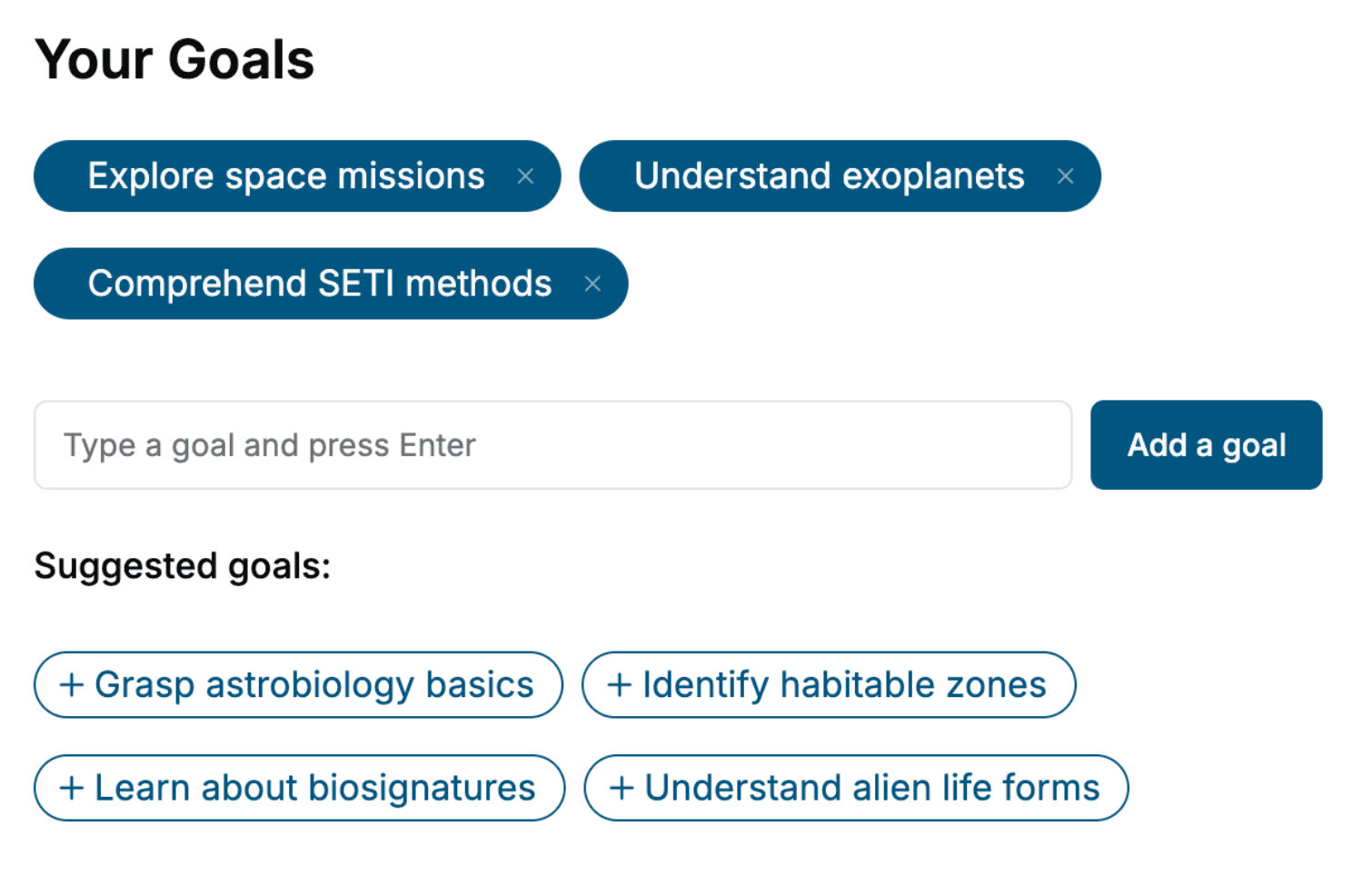
- 1. Select your focus
Select the focus of your Machine Learning book and share your background
- 2. Personalize your book
Specify your goals and choose sub-topics to include
- 3. Get your tailored book
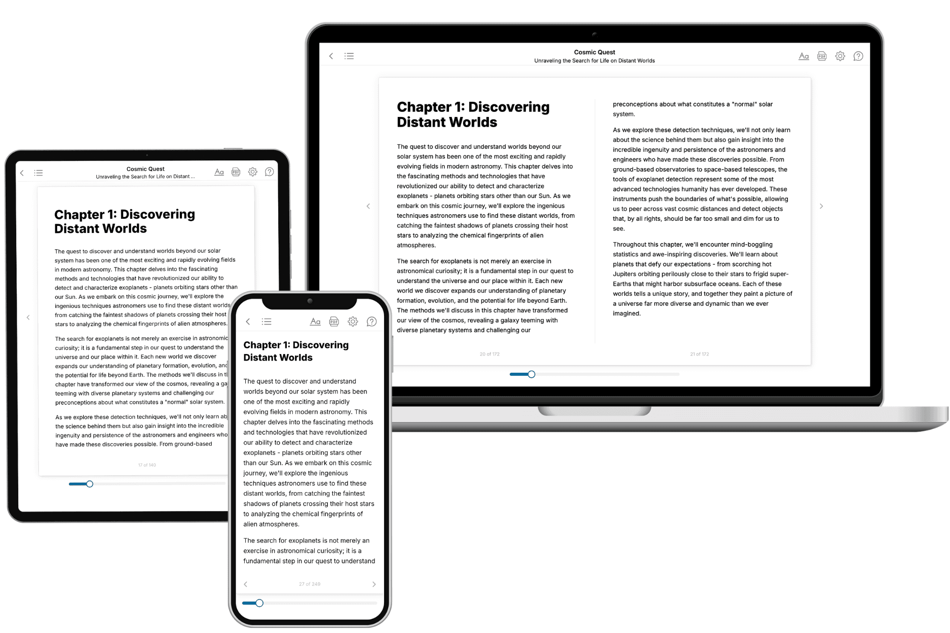
Your book is ready in 10 minutes. Read it online, download as EPUB or PDF, or send to Kindle.

Frequently asked questions
- What is TailoredRead?
TailoredRead creates complete, full-length nonfiction ebooks, written specifically for you. Tell us what you want to learn and why, and TailoredRead writes you a complete ebook on it, with charts, tables, and diagrams throughout. Read it online, on Kindle, or on any e-reader, or download it as a PDF or EPUB. Every book is written fresh the day you order it.
- How is the book tailored to me?
Before anything is written, you answer a few short questions about your goals, your background, and the topics you care about. Your book is then planned around your answers: written at your level, focused on your goals, and covering the topics you chose, instead of the one-size-fits-all book a store sells everyone.
- Will it read like generic AI content?
No. Your book isn't a chat transcript: it's planned chapter by chapter before a single word is written, told in a clear book voice, and explains ideas visually with charts, tables, and diagrams. After writing, every book goes through an editorial pass that polishes chapters so the book reads consistent from start to finish. Judge for yourself: browse thousands of sample books on our Explore Books page.
- How accurate is the content?
Our AI first checks whether your subject needs live research. Niche and fast-moving subjects are researched before writing, and the book plan and chapters are grounded in what it finds. After writing, every book goes through a quality pass that checks its facts and consistency, and researched books list their sources in a Notes section at the back.
- How long is the book?
You choose the length: Comprehensive (250-300 pages), Detailed (150-200 pages), Essential (70-100 pages), or Short (30-50 pages).
- Does the book include visuals?
Yes. Every book includes charts, tables, and diagrams: timelines, checklists, step-by-step guides, decision trees, comparison tables, matrices, and bar charts. A typical book includes dozens of these visual elements.
- Can I read it on Kindle? What formats can I download?
Yes. Every book can be read in our online reader or downloaded as a PDF or EPUB. The EPUB can be opened with Kindle, Apple Books, Kobo, and any e-reader. The Commercial and Author licenses also include an editable Word (DOCX) and Markdown download.
- How much does it cost?
About the price of a regular ebook. The exact price depends on your book's length and complexity, from $2 for the shortest books to $35 for the most comprehensive, and it's shown when you review your book, before you commit to anything. Each book is a one-time purchase, yours to keep, no subscription. Licenses that let you share, teach, or publish your book range from $35.99 to $49.99.
- Can I preview the book before purchasing?
Before you pay, you'll see what your book will cover: the title, a detailed description, the estimated length, and the complete chapter-by-chapter table of contents, so you know what you're getting before you decide. The full text itself is written after you purchase.
- How long does it take to create a book?
About 10 minutes. You can start reading the opening chapters while the rest is still being written.