Navigate by the Stars
Master Celestial Navigation for Modern Explorers and Adventurers
Discover how to navigate using the celestial sphere as your guide, transforming the night sky from a beautiful backdrop into a reliable navigation system.
238 pages10 chaptersApr 12, 2026Astronomy
About this book
This book walks you through the fundamental principles of celestial navigation, starting with understanding how the stars move and why they matter for finding your way. You'll learn to identify key stars and constellations, use simple instruments to measure angles, and calculate your position with surprising accuracy. Whether you're sailing across open water, hiking through remote wilderness, or simply want the confidence of knowing how to navigate without technology, these techniques will serve you well. The book combines practical instruction with clear explanations of the astronomy behind each method, making complex concepts accessible. You'll discover how ancient explorers navigated continents and oceans using these same principles, and how modern adventurers continue to rely on celestial navigation as a backup to electronic systems. By the end, you'll have the knowledge and confidence to read the sky like a map.
Table of contents
- IntroductionWhy Celestial Navigation Still Matters Today, What You'll Learn in This Book, How to Use This Book for Maximum LearningRead below
- Chapter 1: The Celestial Sphere and How It WorksUnderstanding the Celestial Sphere, How Earth's Rotation Affects Star Positions, Celestial Coordinates: Right Ascension and Declination
- Chapter 2: Identifying Stars and ConstellationsMajor Constellations and Their Locations, The Brightest Stars and How to Find Them, How Constellations Change with the Seasons, Reading and Using Star Charts
- Chapter 3: Essential Navigation StarsPolaris: The North Star and Finding True North, The Southern Cross and Southern Hemisphere Navigation, Other Essential Stars for Navigation
- Chapter 4: Instruments and Tools of Celestial NavigationThe Sextant: How It Works and How to Use It, Simple Instruments You Can Make or Improvise, Maintaining and Caring for Your Navigation Tools, Low-Tech Alternatives When You Don't Have Instruments
- Chapter 5: Determining Latitude from the StarsUnderstanding Latitude and Why It Matters, Using Polaris to Find Your Latitude, Determining Latitude Using the Sun, Improving Accuracy in Your Latitude Calculations
- Chapter 6: Determining Longitude and TimeThe Longitude Problem and Why Time Matters, The Lunar Distance Method, Using a Chronometer for Longitude, Practical Longitude Determination for Modern Navigators
- Chapter 7: Navigation Using the Sun and MoonUsing the Sun as a Navigation Tool, Understanding Moon Phases and Lunar Navigation, Twilight Navigation and Sight Reduction
- Chapter 8: Practical Navigation Techniques and CalculationsSight Reduction: Converting Observations to Position, Methods for Obtaining a Fix from Multiple Observations, Combining Celestial Navigation with Dead Reckoning, Quick Mental Calculations for Field Navigation
- Chapter 9: Celestial Navigation in Different EnvironmentsCelestial Navigation at Sea, Using Celestial Navigation in Wilderness and Desert, Special Considerations for Polar Navigation
- Chapter 10: Building Your Skills Through PracticeProgressive Exercises to Build Confidence, Developing Your Night Sky Observation Skills, Common Mistakes and How to Avoid Them, Tracking Your Progress and Staying Motivated
- ConclusionYour Journey to Celestial Navigation Mastery, Next Steps and Continued Learning
- Appendix: Quick Reference Tables and Charts
- Glossary of Celestial Navigation Terms
- Further Reading and Resources
Introduction
Look up on a clear night, far from city lights, and you'll see something that has guided human beings for thousands of years. The stars don't move in random patterns. They rise and set with predictable precision, tracing arcs across the sky that reveal direction, latitude, and time with remarkable accuracy. Long before GPS satellites orbited the Earth, before radio navigation systems existed, and before any electronic device could tell you where you stood, people crossed oceans and traversed continents using nothing more than the sky above them. That knowledge didn't disappear. It's still up there, waiting to be read.
Celestial navigation is the art and science of finding your position on Earth by observing the positions of the sun, moon, planets, and stars. It sounds complex, and in its most refined form it can be. But the core principles are surprisingly accessible. Polynesian voyagers used star paths to navigate thousands of miles across the Pacific Ocean without instruments. Arab traders crossed the Sahara by tracking the North Star. European explorers charted entire coastlines using sextants and careful observation. These weren't superhuman feats of genius. They were the result of learning a skill, practicing it, and trusting what the sky was telling them.
This book exists because that skill is worth learning today, perhaps more than ever. Modern navigation technology is powerful and convenient, but it depends on satellites, batteries, software, and infrastructure that can fail at the worst possible moments. A dead phone battery, a damaged GPS unit, or a solar storm disrupting satellite signals can leave you without the tools you've come to rely on. Celestial navigation doesn't run out of power. The stars don't go offline. Once you understand how to read the sky, you carry a navigation system with you everywhere you go, one that has never needed a software update in ten thousand years.
This isn't a book written for professional mariners or academic astronomers, though both might find value in it. It's written for outdoor enthusiasts, sailors, hikers, travelers, and adventurers who want to develop a real, practical skill. You don't need a mathematics degree to follow along. You do need curiosity, a willingness to spend time under the night sky, and the patience to practice what you learn. The concepts build on each other logically, and by the time you reach the final chapters, you'll be able to look up at the sky and extract genuinely useful navigational information from what you see.
What You'll Learn in This Book
This book is organized to take you from foundational concepts to practical field techniques in a logical sequence. Each chapter builds on the one before it, so the knowledge accumulates rather than sitting in isolated pockets. Here's a clear picture of what you'll cover and why each piece matters.
The first section of the book establishes the conceptual framework you need before anything else makes sense. Chapter 1 introduces the celestial sphere, which is the mental model that navigators have used for centuries to describe how the sky appears to move around the Earth. You'll learn how Earth's rotation creates the apparent motion of stars, and you'll get familiar with the coordinate system that astronomers and navigators use to describe positions in the sky. This isn't abstract theory. It's the map of the sky, and you need to understand it before you can read it.
Chapters 2 and 3 focus on star identification, which is the most immediately practical skill in the entire book. You'll learn to recognize the major constellations, find the brightest navigation stars, understand how the visible sky changes with the seasons, and use star charts effectively. Chapter 3 goes deeper into the specific stars that navigators rely on most, with particular attention to Polaris in the Northern Hemisphere and the Southern Cross for those navigating south of the equator. By the end of these chapters, you'll be able to step outside on a clear night and identify what you're looking at with confidence.
Chapter 4 covers the tools of celestial navigation, from the classic sextant to simple instruments you can improvise in the field. You'll learn how a sextant works, how to take a sight, and how to maintain your equipment. Importantly, you'll also learn techniques that require no instruments at all, because the most reliable navigation tool is always the one you have with you.
The heart of the book is Chapters 5 through 8, which cover the actual calculations and methods for determining your position. You'll learn how to find your latitude using Polaris and the sun, how longitude determination works and why it historically required accurate timekeeping, and how to use the sun and moon as navigation tools throughout the day and night. Chapter 8 brings it all together with practical techniques for converting your observations into a usable position fix, including how to combine celestial navigation with dead reckoning for continuous position tracking.
Chapter 9 addresses how these techniques apply in specific environments, including open ocean sailing, wilderness hiking, desert travel, and polar regions. Each environment presents unique challenges and opportunities, and this chapter gives you the context to adapt what you've learned to real conditions. Chapter 10 then focuses entirely on building your skills through structured practice, developing your night sky observation abilities, avoiding common mistakes, and tracking your progress over time.
By the end of this book, you'll be able to determine your approximate latitude using Polaris or a noon sun sight, identify at least a dozen key navigation stars and constellations, use a sextant or improvised instrument to measure celestial angles, understand how longitude is determined from time and celestial observation, and navigate confidently in wilderness, desert, and open water environments using the sky as your primary reference.
These aren't vague aspirations. They're specific, measurable skills that come from understanding the principles and putting in the practice time. The book gives you both the knowledge and the practice framework to get there.
Throughout every chapter, you'll find concrete examples, worked calculations, and real-world scenarios that show how these techniques apply in practice. Navigation is a doing skill, not just a knowing skill, and this book is designed to keep you active and engaged rather than passively reading theory. Expect to spend time outside with this book in hand, looking up at the sky and testing what you've learned.
How to Use This Book for Maximum Learning
Getting the most out of this book requires a slightly different approach than reading a novel or a general interest nonfiction title. Celestial navigation is a skill, and skills are built through a combination of understanding and repetition. Reading a chapter once and moving on will give you familiarity with the concepts, but it won't give you the ability to actually use them. Here's how to approach the material so that what you read becomes something you can genuinely do.
Read each chapter twice before moving on. The first read gives you the overview and lets you see how the pieces fit together. The second read, done more slowly, is where you start to absorb the details. Pay particular attention to any worked examples or calculations. Try to follow each step yourself rather than just reading through it. If something doesn't make sense on the second read, that's a signal to slow down and work through it before continuing. Confusion that gets carried forward tends to compound.
Pair your reading with time outside. This is non-negotiable for the star identification chapters in particular. Reading about Orion is useful. Standing outside on a January night and finding Orion, then using it to locate Sirius and Betelgeuse, is what actually builds the skill. A good approach is to read a section, then go outside that same evening and practice what you just read. The connection between the page and the sky is what makes the knowledge stick.
Here's a practical learning sequence that works well for most people:
- Read the chapter section during the day to understand the concept.
- Review any calculations or methods with pencil and paper, working through the examples yourself.
- Go outside that evening (or the next clear night) and apply what you read.
- Note what worked, what confused you, and what you want to revisit.
- Re-read the relevant section with your field observations in mind before moving to the next chapter.
You'll need a few basic tools to get the most out of this book. A printed or digital star chart for your hemisphere is essential, and several free options are available online. A compass helps you orient yourself when you're first learning to identify constellations. A notebook for recording your observations and calculations is genuinely valuable. As you progress into the later chapters, you'll want access to a sextant or at least a simple angle-measuring device, though improvised alternatives are covered in detail. None of these tools need to be expensive to be effective.
Don't skip the practice exercises in Chapter 10, even if you feel confident after reading the earlier chapters. Confidence built from reading and confidence built from doing are very different things. The exercises are designed to expose gaps in your understanding in a low-stakes environment, which is exactly where you want to find them. A navigator who discovers they've been misreading a star chart during a backyard practice session is in a much better position than one who discovers the same thing in the middle of a wilderness crossing.
It's also worth setting realistic expectations about the learning curve. Star identification comes relatively quickly for most people, often within a few weeks of regular observation. Latitude determination using Polaris is straightforward once you've practiced it a handful of times. Longitude determination and full sight reduction are more complex and will take longer to feel natural. That's normal. Don't let the complexity of the later chapters discourage you from the genuine progress you'll make in the earlier ones.
If you already have some background in astronomy or navigation, you may find the early chapters move quickly. Feel free to skim sections that cover ground you already know, but don't skip the practical exercises. Even experienced navigators often find that working through the fundamentals again reveals gaps or reinforces habits that improve their accuracy. The goal isn't to get through the book as fast as possible. It's to come out the other side with a skill you can actually use.
Consider finding a practice partner or a local astronomy club. Learning celestial navigation alongside someone else accelerates the process considerably. You can check each other's star identifications, compare latitude calculations, and motivate each other to get outside on cold or inconvenient nights when staying indoors feels easier. Many astronomy clubs have members who are interested in historical navigation techniques and are happy to share their knowledge. The community around this skill is welcoming and enthusiastic.
Finally, keep a navigation journal from the very beginning. Record the date, time, location, and sky conditions for every observation session. Note which stars you identified, what calculations you attempted, and what results you got. Over time, this journal becomes an invaluable record of your progress and a reference for techniques you've practiced. It also makes it much easier to identify patterns in your errors and correct them systematically. The best navigators are meticulous record-keepers, and that habit starts on day one.
The sky has been guiding people home for as long as there have been people to guide. Everything you need to read it is in this book and above your head every clear night. The only thing left is to begin.
This is the end of the free sample. The full book has 10 chapters.
Want this book written for you?
Tell us your goals and background, and get your own version of this book, tailored by AI to you.


Benefits of AI-tailored books
- Read one book, not ten:
- all the Astronomy knowledge you need, gathered into a single book.
- Save days of learning:
- tell us your goals, choose your topics, and the whole book is built around them.
- Learn effortlessly:
- Astronomy book written for your specific background and expertise.
- Understand at a glance:
- includes charts, tables, timelines, checklists, decision trees, and more.
- Stay current:
- written the day you order it, not years ago.
- Trust what you read:
- every book is checked for accuracy, with real research when your subject needs it.
Create your unique book in 3 steps
- 1. Select your focus
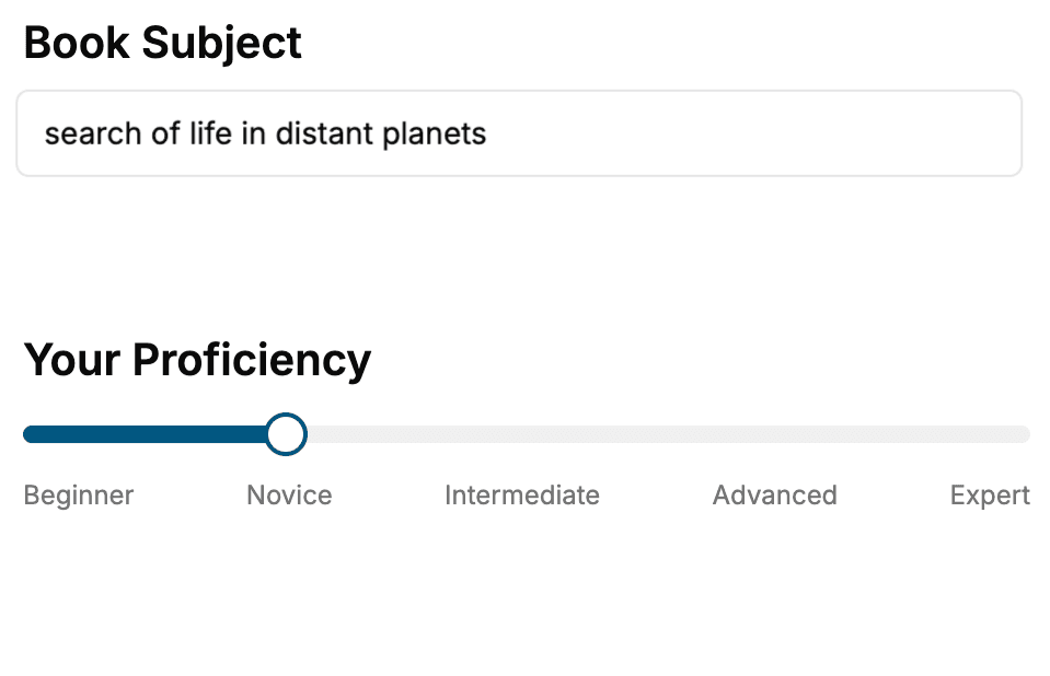
Select the focus of your Astronomy book and share your background
- 2. Personalize your book
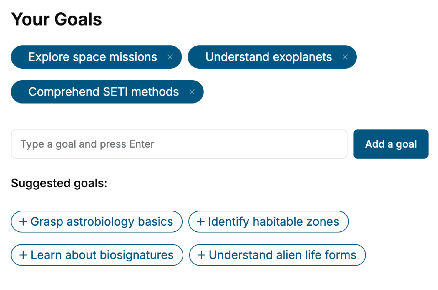
Specify your goals and choose sub-topics to include
- 3. Get your tailored book
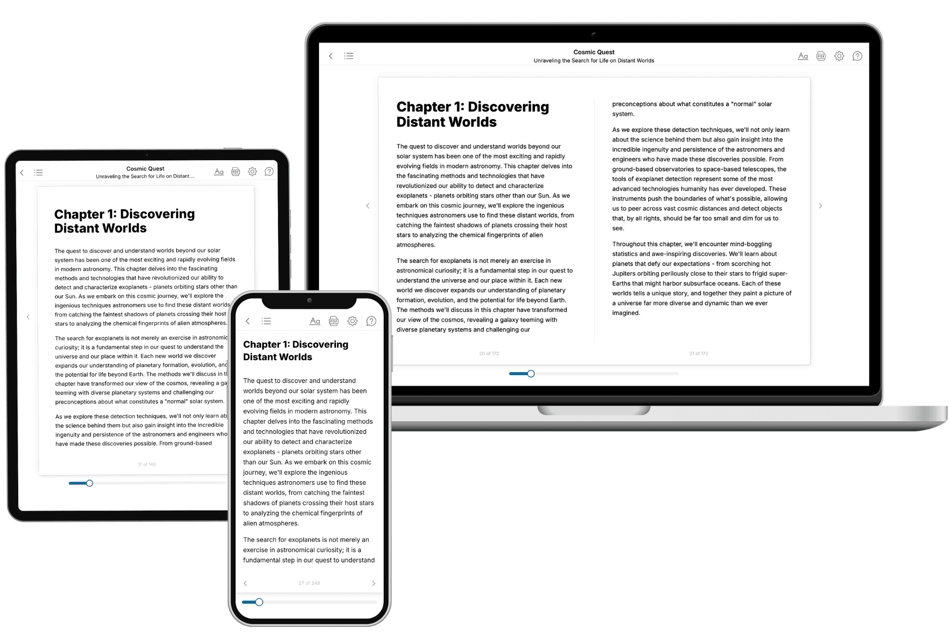
Your book is ready in 10 minutes. Read it online, download as EPUB or PDF, or send to Kindle.
Frequently asked questions
- What is TailoredRead?
TailoredRead creates complete, full-length nonfiction ebooks, written specifically for you. Tell us what you want to learn and why, and TailoredRead writes you a complete ebook on it, with charts, tables, and diagrams throughout. Read it online, on Kindle, or on any e-reader, or download it as a PDF or EPUB. Every book is written fresh the day you order it.
- How is the book tailored to me?
Before anything is written, you answer a few short questions about your goals, your background, and the topics you care about. Your book is then planned around your answers: written at your level, focused on your goals, and covering the topics you chose, instead of the one-size-fits-all book a store sells everyone.
- Will it read like generic AI content?
No. Your book isn't a chat transcript: it's planned chapter by chapter before a single word is written, told in a clear book voice, and explains ideas visually with charts, tables, and diagrams. After writing, every book goes through an editorial pass that polishes chapters so the book reads consistent from start to finish. Judge for yourself: browse thousands of sample books on our Explore Books page.
- How accurate is the content?
Our AI first checks whether your subject needs live research. Niche and fast-moving subjects are researched before writing, and the book plan and chapters are grounded in what it finds. After writing, every book goes through a quality pass that checks its facts and consistency, and researched books list their sources in a Notes section at the back.
- How long is the book?
You choose the length: Comprehensive (250-300 pages), Detailed (150-200 pages), Essential (70-100 pages), or Short (30-50 pages).
- Does the book include visuals?
Yes. Every book includes charts, tables, and diagrams: timelines, checklists, step-by-step guides, decision trees, comparison tables, matrices, and bar charts. A typical book includes dozens of these visual elements.
- Can I read it on Kindle? What formats can I download?
Yes. Every book can be read in our online reader or downloaded as a PDF or EPUB. The EPUB can be opened with Kindle, Apple Books, Kobo, and any e-reader. The Commercial and Author licenses also include an editable Word (DOCX) and Markdown download.
- How much does it cost?
About the price of a regular ebook. The exact price depends on your book's length and complexity, from $2 for the shortest books to $35 for the most comprehensive, and it's shown when you review your book, before you commit to anything. Each book is a one-time purchase, yours to keep, no subscription. Licenses that let you share, teach, or publish your book range from $35.99 to $49.99.
- Can I preview the book before purchasing?
Before you pay, you'll see what your book will cover: the title, a detailed description, the estimated length, and the complete chapter-by-chapter table of contents, so you know what you're getting before you decide. The full text itself is written after you purchase.
- How long does it take to create a book?
About 10 minutes. You can start reading the opening chapters while the rest is still being written.