Navigating by the Stars
A Practical Guide to Celestial Navigation for Modern Adventurers
Master the ancient art of navigating by the stars and gain the confidence to explore remote wilderness and open waters without electronic devices.
191 pages9 chaptersMay 11, 2026Celestial Navigation
About this book
This practical guide teaches you how to read the night sky like a map, understand celestial mechanics, and use simple tools to determine your exact position on Earth. You'll learn to identify key constellations, measure angles with precision, calculate latitude and longitude, and integrate celestial navigation with traditional map reading. Whether you're planning backcountry expeditions, sailing adventures, or simply want to develop self-reliance skills, this book provides step-by-step instructions, real-world examples, and proven techniques used by explorers and navigators worldwide. Discover how to navigate confidently in any environment, understand why the stars move the way they do, and develop the observational skills that have guided humanity for millennia.
Table of contents
- IntroductionWhy Celestial Navigation Still Matters, What You'll Learn in This Book, How to Use This Guide, Getting Started: What You NeedRead below
- Chapter 1: The Celestial Sphere and How Stars MoveUnderstanding the Celestial Sphere, Apparent Motion of Stars Throughout the Year, Celestial Coordinates: Right Ascension and Declination
- Chapter 2: Finding Your Way: Key Constellations and StarsThe North Star: Your Constant Guide, Major Constellations and Their Navigation Value, Seasonal Star Patterns and How to Use Them, Navigation in the Southern Hemisphere
- Chapter 3: Measuring Angles: Tools and TechniquesUnderstanding Angles and Altitude, Using a Sextant: The Navigator's Essential Tool, Improvised Angle Measurement Techniques, Achieving Accuracy Through Practice
- Chapter 4: Determining Latitude from the StarsThe Principles Behind Latitude Determination, Using Polaris (North Star) to Find Latitude, Determining Latitude Using the Sun, Latitude Methods for Southern Hemisphere Navigation
- Chapter 5: Determining Longitude: The Greater ChallengeUnderstanding the Longitude Problem, The Relationship Between Time and Longitude, The Lunar Distance Method, Using a Chronometer for Longitude
- Chapter 6: Practical Navigation CalculationsSight Reduction Tables and Calculations, Plotting Your Position on a Chart, Step-by-Step Navigation Examples
- Chapter 7: Integrating Celestial Navigation with Traditional MethodsCombining Stars with Map Reading, Using Terrain Features Alongside Celestial Navigation, Creating Redundant Navigation Systems, Cross-Checking Your Position Using Multiple Methods
- Chapter 8: Navigation in Different EnvironmentsOcean and Open Water Navigation, Desert and Arid Environment Navigation, Arctic and Polar Region Challenges, Navigation in Forested and Cloudy Regions
- Chapter 9: Building Your Navigation Skills: Practice and MasteryObservation Exercises and Night Sky Practice, Calculation Drills and Problem Solving, Field Practice and Real-World Application
- ConclusionYour Journey to Navigation Mastery, Next Steps and Continued Learning
- Appendix: Quick Reference Tables and ResourcesStar Charts and Constellation Maps, Sight Reduction and Calculation Tables, Glossary of Navigation Terms
Introduction
On a clear night far from city lights, the sky above you is alive with thousands of points of light. For most people today, that sight is simply beautiful. But for centuries, those same stars were something far more practical: they were a map, a clock, and a compass all at once. Sailors crossed oceans, explorers charted continents, and traders followed ancient routes guided by nothing more than the stars overhead and the knowledge of how to read them. That knowledge did not disappear. It is still here, waiting to be learned.
Celestial navigation is the art and science of determining your position on Earth by observing the sun, moon, planets, and stars. It sounds complex, and in its full technical form it can be. But the core principles are surprisingly accessible. With a basic understanding of how the sky works, a few simple tools, and some practice, you can find your direction and even calculate your location with remarkable accuracy. This is not a lost art reserved for professional mariners or astronomers. It is a practical skill that any motivated person can develop.
This book exists because the skills of celestial navigation deserve a wider audience. GPS devices are extraordinary tools, but they depend on satellites, batteries, and electronics that can fail at the worst possible moments. A dead phone in a remote canyon or a malfunctioning chart plotter in the middle of the ocean is not just inconvenient. It can be genuinely dangerous. The navigators who understand the sky carry a backup system that never runs out of power and never loses signal. That backup system is knowledge, and this guide is designed to give it to you in a clear, practical, and usable form.
Whether you are an experienced backpacker looking to add a new layer of self-reliance to your wilderness skills, a sailor wanting to understand the traditional methods behind modern navigation, or simply someone fascinated by the night sky and its practical uses, this book is written for you. No advanced mathematics background is required. No expensive equipment is necessary to get started. What is required is curiosity, a willingness to practice, and a clear night sky.
What You'll Learn in This Book
This book is organized as a progressive learning journey. Each chapter builds on the one before it, moving from foundational concepts to practical techniques to real-world application. By the time you reach the final chapter, you will have a complete toolkit for celestial navigation that you can apply in the field. Here is a clear picture of what that journey covers.
The first section of the book establishes the conceptual foundation. Chapter 1 introduces the celestial sphere, the mental model that navigators use to understand how the sky is organized and how stars appear to move. This is not abstract theory. Understanding the celestial sphere is what allows you to predict where any star will be at any time of night, from any location on Earth. That predictability is the engine that makes celestial navigation work.
Chapter 2 moves into practical star identification. You will learn to recognize the key constellations and individual stars that navigators rely on most, including Polaris in the Northern Hemisphere and the Southern Cross for those navigating below the equator. You will also learn how seasonal changes affect which stars are visible and how to use those patterns to your advantage throughout the year.
Chapters 3 through 5 form the technical core of the book. Chapter 3 covers angle measurement, including how to use a sextant and how to improvise angle-measuring tools from everyday materials when a sextant is not available. Chapter 4 teaches you how to determine your latitude using Polaris, the sun, and other celestial bodies. Chapter 5 tackles the historically harder problem of longitude, explaining the relationship between time and position and walking you through the methods navigators have used to solve it.
Chapter 6 brings the calculations together with step-by-step worked examples that show you exactly how to go from a raw observation to a plotted position on a chart. This chapter is designed to be used as a reference in the field, with clear procedures you can follow even under pressure. Chapter 7 then shows you how to integrate celestial navigation with traditional map reading and terrain awareness to create a robust, multi-layered navigation system.
Chapter 8 addresses the specific challenges of different environments, from open ocean sailing to desert crossings to arctic conditions where the sun barely sets. Each environment presents unique challenges for celestial navigation, and this chapter gives you the specific adaptations you need for each one. Chapter 9 closes the main content with a structured practice program designed to build your skills from beginner observations to confident field navigation.
Throughout the book, you will find:
- Concrete, worked examples with real numbers and real calculations
- Step-by-step procedures you can follow in the field
- Common mistakes and how to avoid them
- Improvised techniques for when standard tools are unavailable
- Practice exercises to build and test your skills
How to Use This Guide
This guide is designed to be read in order, at least the first time through. The chapters are sequenced so that each one builds on knowledge from the previous ones. If you jump straight to the longitude calculations in Chapter 5 without understanding the celestial sphere from Chapter 1, the math will feel arbitrary and hard to remember. When you understand the geometry behind the calculation, the steps make intuitive sense and are much easier to retain.
That said, once you have read through the book once, it is designed to work as a field reference. The chapter on practical calculations (Chapter 6) is written with that use in mind. The procedures are laid out in numbered steps, the worked examples use realistic numbers, and the key formulas are clearly labeled so you can find them quickly. The appendix tables are formatted for quick lookup rather than extended reading. Keep this book in your pack or on your boat, not just on your shelf.
One of the most important things to understand about learning celestial navigation is that reading about it and doing it are very different experiences. The concepts in this book will make sense on the page, but they will only become real skills through practice. Every chapter includes observation exercises and calculation drills. Do them. Go outside on clear nights and actually look at the stars. Measure angles with your hand before you ever pick up a sextant. The physical experience of watching Polaris hold steady while other stars wheel around it is worth more than any number of diagrams.
Here is a suggested approach for getting the most out of this book:
- Read each chapter fully before attempting the exercises, so you understand the context for what you are practicing.
- Do the observation exercises on the next clear night after reading each chapter. Do not wait until you have finished the whole book.
- Work through the calculations by hand at least once, even if you plan to use tables or apps later. Understanding the math makes you a better navigator.
- Practice in familiar terrain first. Use celestial navigation to confirm your position in a place you already know before relying on it in unfamiliar territory.
- Return to earlier chapters as you progress. Concepts that seemed abstract in Chapter 1 will make much more sense after you have worked through the practical material in Chapters 4 and 5.
The tone of this book is practical and direct. Technical terms are introduced when they are necessary, explained clearly when they first appear, and listed in the glossary for easy reference. The goal is never to impress you with complexity but to give you tools that actually work in the field. If something is unclear, the worked examples in Chapter 6 are designed to show the concepts in action, which often clarifies things that the explanatory text leaves fuzzy.
A note on mathematics: this book uses basic trigonometry in several places, particularly in the chapters on latitude and longitude determination. If your trigonometry is rusty, do not worry. Each calculation is explained step by step, and the appendix tables are designed to let you perform the key lookups without needing to calculate trigonometric functions from scratch. A basic scientific calculator handles everything else. The math is a tool here, not the point. The point is finding your position.
Finally, approach this material with patience. Celestial navigation is a skill that develops over time. Your first attempts at measuring angles will be imprecise. Your first latitude calculations will probably have errors. That is completely normal and expected. Professional navigators spend months developing the muscle memory and observational habits that make celestial navigation reliable. Give yourself the same grace. Every clear night is a practice opportunity, and every practice session builds the intuition that eventually makes this feel natural.
Getting Started: What You Need
One of the most encouraging things about celestial navigation is how little equipment you actually need to get started. The full toolkit of a professional maritime navigator includes a sextant, accurate chronometer, nautical almanac, and sight reduction tables. But you can begin learning and practicing the foundational skills with almost nothing. Understanding what is essential, what is helpful, and what is optional will help you invest your time and money wisely.
The single most important piece of equipment is not a physical tool at all. It is a clear, dark sky. Light pollution is the biggest practical obstacle for most people learning celestial navigation today. If you live in or near a city, you will need to make a deliberate effort to get to a location where the sky is genuinely dark. A good rule of thumb is that you should be able to see the Milky Way clearly on a moonless night. If you cannot, the sky is too bright for serious observation practice. The Dark Sky Finder website and the Light Pollution Map app are both useful tools for locating dark sky sites near you.[2]
For the early chapters of this book, here is what you actually need:
- A clear, dark sky away from significant light pollution
- A compass (even a basic hiking compass works fine)
- A watch or phone that shows accurate time, ideally synchronized to a time standard
- A notebook and pencil for recording observations and working through calculations
- A red-light flashlight so you can read notes without destroying your night vision
As you progress into the more technical material on angle measurement and position calculation, a few additional tools become valuable. A sextant is the traditional instrument for measuring the altitude of celestial bodies above the horizon. A quality used sextant can be found for $100 to $300, and a new plastic Davis Mark 15 sextant costs around $50 and is perfectly adequate for learning.[3] Chapter 3 covers sextant use in detail, including how to check and correct for common errors. If you are not ready to invest in a sextant yet, Chapter 3 also covers improvised angle measurement techniques that work surprisingly well for practice purposes.
A nautical almanac is a yearly publication that lists the positions of the sun, moon, planets, and key navigational stars for every hour of every day of the year. The U.S. Naval Observatory publishes one annually, and it is available in print for around $35. Free digital versions are also available online, and several smartphone apps replicate the almanac data. For serious celestial navigation, particularly for longitude determination, almanac data is essential. For the early chapters focused on star identification and latitude from Polaris, you can work without one.
Here is a practical equipment progression to follow as you work through this book:
- Chapters 1 and 2 (Star identification and celestial sphere): Dark sky, compass, notebook, red flashlight. No specialized equipment needed.
- Chapter 3 (Angle measurement): Add a protractor and string for improvised angle measurement, or a basic sextant if you are ready to invest.
- Chapters 4 and 5 (Latitude and longitude): Add a nautical almanac (print or digital) and a scientific calculator.
- Chapter 6 (Practical calculations): Add sight reduction tables (HO 229 or HO 249, available from nautical chart suppliers) or a navigation app that performs sight reduction.
- Chapters 7 through 9 (Integration and field practice): Add topographic maps of your practice area and a quality compass with a declination adjustment.
A word about smartphone apps: several excellent apps can display real-time star charts, calculate celestial positions, and even simulate sextant observations. SkySafari, Stellarium, and Star Walk are all well-regarded options. These apps are genuinely useful learning tools, especially for star identification in the early stages. However, be careful not to let them become a crutch. The goal of this book is to build skills that work without electronics. Use apps to check your work and deepen your understanding, but always practice the manual methods as well.
One final piece of preparation is worth mentioning: your eyes. Human night vision takes approximately 20 to 30 minutes to fully adapt after exposure to bright light.[4] This is why the red flashlight matters. Red light does not significantly disrupt night vision the way white light does, so you can read your notes and charts without resetting your adaptation clock. Before any serious observation session, give yourself at least 20 minutes in darkness before you start trying to identify faint stars or make precise measurements. This simple habit will dramatically improve the quality of your observations from the very first night.
Notes
Introduction
- 1. GPS World, "GPS Outage Caused by Air Force Error," GPS World Magazine, 2016
- 2. P. Cinzano and others, "The first World Atlas of the artificial night sky brightness," Monthly Notices of the Royal Astronomical Society, 2001
- 3. Davis Instruments Corporation. Davis Mark 15 Sextant product specifications. Hayward, CA.
- 4. S. Hecht, "Rods, cones, and the chemical basis of vision," Physiological Reviews, 1937
This is the end of the free sample. The full book has 9 chapters.
Want this book written for you?
Tell us your goals and background, and get your own version of this book, tailored by AI to you.


Benefits of AI-tailored books
- Read one book, not ten:
- all the Celestial Navigation knowledge you need, gathered into a single book.
- Save days of learning:
- tell us your goals, choose your topics, and the whole book is built around them.
- Learn effortlessly:
- Celestial Navigation book written for your specific background and expertise.
- Understand at a glance:
- includes charts, tables, timelines, checklists, decision trees, and more.
- Stay current:
- written the day you order it, not years ago.
- Trust what you read:
- every book is checked for accuracy, with real research when your subject needs it.
Create your unique book in 3 steps
- 1. Select your focus
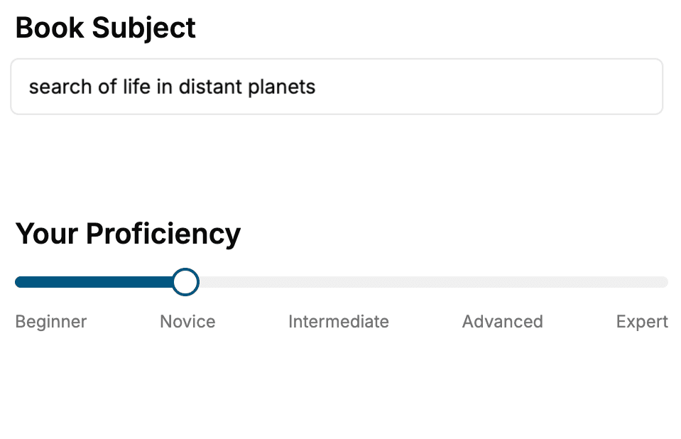
Select the focus of your Celestial Navigation book and share your background
- 2. Personalize your book
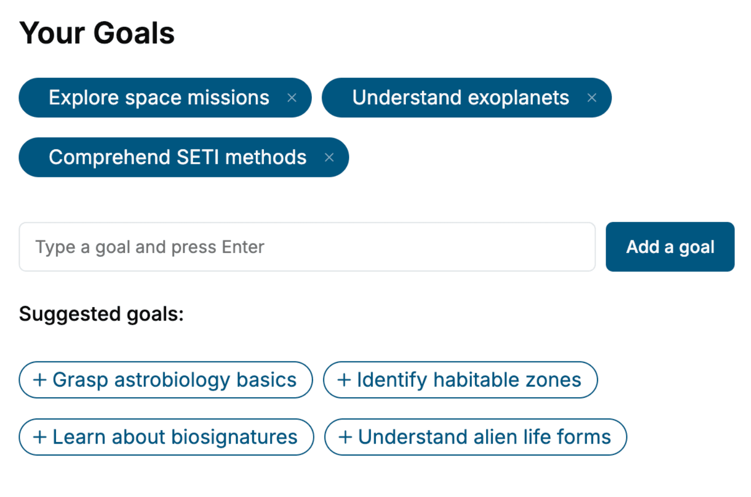
Specify your goals and choose sub-topics to include
- 3. Get your tailored book
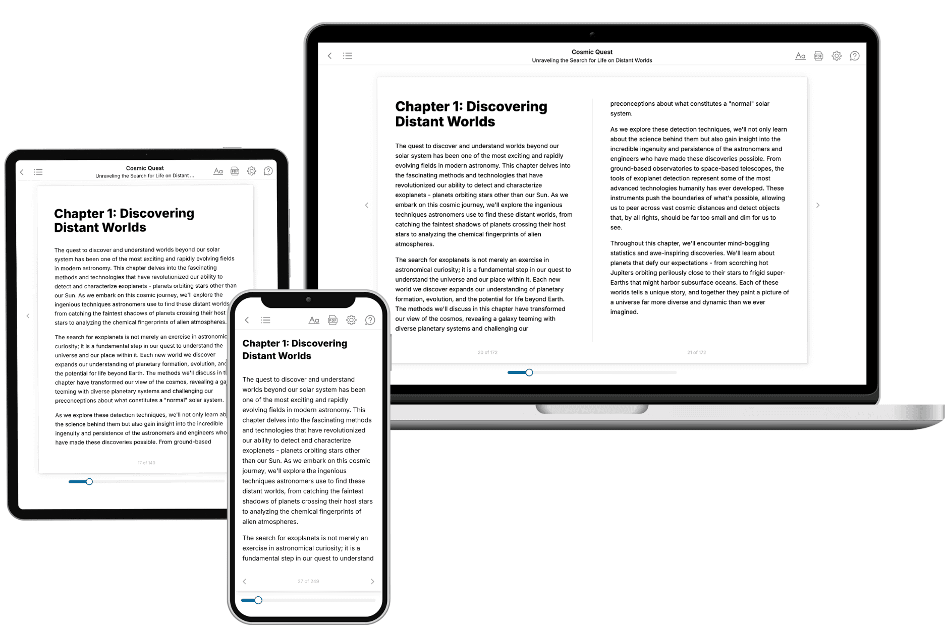
Your book is ready in 10 minutes. Read it online, download as EPUB or PDF, or send to Kindle.
Frequently asked questions
- What is TailoredRead?
TailoredRead creates complete, full-length nonfiction ebooks, written specifically for you. Tell us what you want to learn and why, and TailoredRead writes you a complete ebook on it, with charts, tables, and diagrams throughout. Read it online, on Kindle, or on any e-reader, or download it as a PDF or EPUB. Every book is written fresh the day you order it.
- How is the book tailored to me?
Before anything is written, you answer a few short questions about your goals, your background, and the topics you care about. Your book is then planned around your answers: written at your level, focused on your goals, and covering the topics you chose, instead of the one-size-fits-all book a store sells everyone.
- Will it read like generic AI content?
No. Your book isn't a chat transcript: it's planned chapter by chapter before a single word is written, told in a clear book voice, and explains ideas visually with charts, tables, and diagrams. After writing, every book goes through an editorial pass that polishes chapters so the book reads consistent from start to finish. Judge for yourself: browse thousands of sample books on our Explore Books page.
- How accurate is the content?
Our AI first checks whether your subject needs live research. Niche and fast-moving subjects are researched before writing, and the book plan and chapters are grounded in what it finds. After writing, every book goes through a quality pass that checks its facts and consistency, and researched books list their sources in a Notes section at the back.
- How long is the book?
You choose the length: Comprehensive (250-300 pages), Detailed (150-200 pages), Essential (70-100 pages), or Short (30-50 pages).
- Does the book include visuals?
Yes. Every book includes charts, tables, and diagrams: timelines, checklists, step-by-step guides, decision trees, comparison tables, matrices, and bar charts. A typical book includes dozens of these visual elements.
- Can I read it on Kindle? What formats can I download?
Yes. Every book can be read in our online reader or downloaded as a PDF or EPUB. The EPUB can be opened with Kindle, Apple Books, Kobo, and any e-reader. The Commercial and Author licenses also include an editable Word (DOCX) and Markdown download.
- How much does it cost?
About the price of a regular ebook. The exact price depends on your book's length and complexity, from $2 for the shortest books to $35 for the most comprehensive, and it's shown when you review your book, before you commit to anything. Each book is a one-time purchase, yours to keep, no subscription. Licenses that let you share, teach, or publish your book range from $35.99 to $49.99.
- Can I preview the book before purchasing?
Before you pay, you'll see what your book will cover: the title, a detailed description, the estimated length, and the complete chapter-by-chapter table of contents, so you know what you're getting before you decide. The full text itself is written after you purchase.
- How long does it take to create a book?
About 10 minutes. You can start reading the opening chapters while the rest is still being written.