Orbital Insights
Unveiling Earth's Secrets Through Satellite Remote Sensing
Think satellite remote sensing is just about pretty pictures from space?
253 pages12 chaptersJan 31, 2025Remote Sensing
About this book
Think again. This technology is revolutionizing how we understand our planet, from tracking climate change to predicting natural disasters. In "Orbital Insights," you'll discover the fascinating world of satellite remote sensing and its far-reaching impact on science and society. This book takes you on a journey from the basics of how satellites capture data to the cutting-edge applications that are shaping our understanding of Earth's systems. You'll explore the intricate dance of satellites orbiting our planet, the sophisticated sensors that capture invaluable data, and the complex algorithms that turn raw information into actionable insights. From monitoring deforestation in the Amazon to tracking urban growth in megacities, you'll see how satellite remote sensing is providing us with a truly global perspective on our changing world. Whether you're a student, a professional in a related field, or simply curious about how space technology is helping us solve earthly problems, "Orbital Insights" will expand your horizons and give you a new appreciation for the eyes in the sky that are constantly watching over our blue marble.
Table of contents
- IntroductionWhat is Satellite Remote Sensing?, A Brief History of Earth Observation, The Importance of Remote Sensing in Today's World, Book Overview and How to Use ItRead below
- Chapter 1: Fundamentals of Satellite Remote SensingThe Electromagnetic Spectrum, Satellite Orbits and Coverage, Types of Remote Sensing Sensors, Resolution Concepts: Spatial, Spectral, Temporal, and Radiometric
- Chapter 2: Satellite Data AcquisitionPassive Sensors: Optical and Thermal, Active Sensors: Radar and Lidar, Atmospheric Effects on Data Acquisition, Data Transmission and Reception
- Chapter 3: Satellite Data Processing and AnalysisPreprocessing: Radiometric and Geometric Corrections, Image Enhancement Techniques, Classification Methods, Change Detection Analysis
- Chapter 4: Visual Interpretation of Satellite ImageryElements of Image Interpretation, False Color Composites and Band Combinations, Interpretation Keys for Different Land Cover Types, Multi-temporal Image Analysis
- Chapter 5: Land Applications of Remote SensingLand Use and Land Cover Mapping, Agriculture and Crop Monitoring, Forestry Applications and Deforestation Monitoring, Urban Planning and Development
- Chapter 6: Ocean and Coastal ApplicationsSea Surface Temperature Monitoring, Ocean Color and Phytoplankton Mapping, Sea Level Rise and Coastal Erosion, Marine Pollution Detection
- Chapter 7: Atmospheric and Weather ApplicationsCloud Detection and Classification, Atmospheric Composition and Air Quality, Weather Forecasting and Severe Storm Tracking, Climate Monitoring and Change Detection
- Chapter 8: Cryosphere ApplicationsSnow Cover Mapping, Glacier Monitoring and Ice Sheet Dynamics, Sea Ice Extent and Thickness Estimation, Permafrost Monitoring
- Chapter 9: Disaster Management and MitigationFlood Mapping and Monitoring, Wildfire Detection and Progression Tracking, Earthquake Damage Assessment, Oil Spill Detection and Monitoring
- Chapter 10: Integration with GIS and Other Data SourcesGIS Basics and Data Models, Data Fusion Techniques, Machine Learning and AI in Remote Sensing, Big Data Analytics in Remote Sensing
- Chapter 11: Emerging Technologies in Remote SensingHyperspectral Imaging, SAR Technology Advancements, CubeSats and Nanosatellites, UAV Integration with Satellite Remote Sensing
- Chapter 12: Challenges and Future of Satellite Remote SensingData Accessibility and Democratization, Privacy and Ethical Concerns, Future Satellite Missions and Sensors, Interdisciplinary Applications and Collaborations
- Conclusion
- Glossary
- Further Reading
Introduction
Welcome to the fascinating world of satellite remote sensing, a field that has revolutionized our understanding of Earth and its systems. As you embark on this journey through "Orbital Insights," you'll discover how technology high above our planet is providing unprecedented views and insights into the world around us. This introduction will lay the foundation for your exploration of satellite remote sensing, offering a comprehensive overview of what it is, how it has evolved, and why it's so crucial in today's world.
Satellite remote sensing is more than just capturing images from space. It's a complex, multidisciplinary field that combines aspects of physics, engineering, computer science, and environmental studies to gather, process, and interpret data about our planet. From tracking the effects of climate change to predicting natural disasters, from monitoring urban growth to mapping the ocean floor, satellite remote sensing has become an indispensable tool for scientists, policymakers, and industries across the globe.
Throughout this book, you'll gain a deep understanding of the principles behind satellite remote sensing, the technologies that make it possible, and the myriad ways it's applied to solve real-world problems. Whether you're a student looking to enter this exciting field, a professional seeking to expand your knowledge, or simply a curious individual fascinated by the view from above, this book will provide you with the knowledge and insights to appreciate the full scope and potential of satellite remote sensing.
As we delve into the chapters ahead, you'll learn about the fundamental concepts that underpin remote sensing, explore the various types of satellites and sensors used, and discover how the data they collect is processed and analyzed. You'll also gain insights into the wide range of applications across different domains, from land and ocean monitoring to atmospheric studies and disaster management. By the end of this journey, you'll have a comprehensive understanding of how satellite remote sensing is helping us to better understand, manage, and protect our planet.
So, prepare to lift off into the world of satellite remote sensing. Let's begin by exploring the core concepts, tracing the history of this revolutionary technology, and understanding why it's more important now than ever before.
What is Satellite Remote Sensing?
Satellite remote sensing is a powerful method of gathering information about the Earth's surface and atmosphere without coming into direct contact with it. At its core, it involves the use of satellites equipped with sensors to detect and record reflected or emitted electromagnetic radiation from the Earth's surface and atmosphere. This data is then transmitted back to Earth, where it is processed, analyzed, and interpreted to provide valuable insights about our planet's physical, chemical, and biological systems.
The concept of remote sensing is based on the principle that every object on Earth's surface interacts with electromagnetic radiation in a unique way. This interaction, known as a spectral signature, allows scientists to identify and study different features of the Earth's surface from a distance. Satellite sensors are designed to capture these spectral signatures across various wavelengths of the electromagnetic spectrum, from visible light to infrared and microwave radiation.
One of the key advantages of satellite remote sensing is its ability to provide a global perspective. Satellites orbiting the Earth can capture data over vast areas quickly and repeatedly, allowing for continuous monitoring of large-scale phenomena and changes over time. This global view is particularly valuable for studying processes that occur over large geographic areas, such as climate change, deforestation, or ocean currents.
Satellite remote sensing can be broadly categorized into two types: passive and active. Passive remote sensing relies on natural sources of energy, typically the sun, to illuminate the Earth's surface. These sensors detect the reflected or emitted radiation from the Earth. Examples include optical sensors that capture visible and infrared light. Active remote sensing, on the other hand, involves sensors that emit their own energy and then measure the reflection of that energy from the Earth's surface. Radar and LiDAR (Light Detection and Ranging) are common examples of active remote sensing technologies.
The data collected through satellite remote sensing comes in various forms, including images, spectral measurements, and radar signals. These data types can provide information about a wide range of Earth's properties, such as land cover, vegetation health, surface temperature, atmospheric composition, ocean color, and even subtle changes in the Earth's surface elevation. The versatility of this data makes satellite remote sensing an invaluable tool across numerous scientific disciplines and practical applications.
One of the most significant aspects of satellite remote sensing is its ability to provide consistent, long-term observations of the Earth. Many satellites have been in operation for decades, creating extensive time series of data that allow scientists to study long-term trends and changes in the Earth system. This historical perspective is crucial for understanding processes like climate change, urban expansion, and long-term ecological shifts.
Moreover, satellite remote sensing offers a non-invasive way to study areas that are difficult or dangerous to access on the ground. This includes remote regions like the Arctic, dense tropical forests, or areas affected by natural disasters or conflicts. By providing safe and consistent access to information about these areas, satellite remote sensing plays a crucial role in global environmental monitoring and disaster response efforts.
The field of satellite remote sensing is continually evolving, with advancements in satellite technology, sensor capabilities, and data processing techniques. Modern satellites can provide increasingly detailed and accurate data, with some offering resolutions fine enough to discern individual trees or buildings from space. Additionally, the integration of artificial intelligence and machine learning techniques is revolutionizing how we process and interpret the vast amounts of data generated by satellite remote sensing.
As we progress through this book, you'll gain a deeper understanding of the principles, technologies, and applications of satellite remote sensing. From the fundamental physics that make it possible to the cutting-edge applications shaping our understanding of the Earth, satellite remote sensing offers a fascinating window into the complexities of our planet. Whether it's tracking the retreat of glaciers, monitoring the health of crops, or assisting in urban planning, satellite remote sensing provides invaluable insights that help us better understand and manage our world.
A Brief History of Earth Observation
The history of Earth observation from space is a testament to human ingenuity and our enduring curiosity about our planet. While satellite remote sensing as we know it today is a relatively recent development, the roots of Earth observation stretch back to the mid-20th century. This journey from the first aerial photographs to today's sophisticated satellite networks is a fascinating story of technological advancement and scientific discovery.
The concept of Earth observation from above began long before the space age. In the 1840s, balloons were used to capture the first aerial photographs, providing a new perspective on the landscape below. This idea of gaining a bird's-eye view of the Earth laid the groundwork for future remote sensing technologies. The development of aviation in the early 20th century further advanced aerial photography, with aircraft being used extensively for mapping and reconnaissance during World Wars I and II.
The launch of Sputnik 1 by the Soviet Union in 1957 marked the beginning of the space age and opened up new possibilities for Earth observation. While Sputnik 1 itself didn't carry any Earth observation instruments, it demonstrated the feasibility of placing objects in orbit around the Earth. This achievement sparked a space race between the United States and the Soviet Union, leading to rapid advancements in space technology.
The first true weather satellite, TIROS-1 (Television Infrared Observation Satellite), was launched by the United States in 1960. TIROS-1 provided the first television images of Earth's cloud cover and weather patterns from space, revolutionizing weather forecasting and marking the birth of satellite meteorology. This success paved the way for more advanced weather satellites and demonstrated the potential of satellite-based Earth observation.
In 1972, NASA launched Landsat 1, the first satellite specifically designed for Earth observation and monitoring land use. Landsat 1 carried a Multispectral Scanner (MSS) that could capture images in four spectral bands, providing unprecedented data about the Earth's surface. The Landsat program, which continues to this day, has been instrumental in tracking changes in land use, deforestation, urban growth, and many other environmental phenomena over the past five decades.
The 1970s and 1980s saw a rapid expansion in the number and types of Earth observation satellites. Countries around the world began developing their own satellite programs, and the range of applications for satellite data grew exponentially. In 1978, NASA launched Seasat, the first satellite designed to monitor ocean conditions. Although it only operated for 105 days due to a power failure, Seasat demonstrated the potential of radar systems for observing the Earth's surface, particularly oceans.
The 1990s brought significant advancements in satellite technology and data processing capabilities. The launch of ERS-1 by the European Space Agency in 1991 marked a new era in radar remote sensing, providing high-quality data for studying oceans, ice, and land surfaces. In 1999, NASA launched Terra, the flagship satellite of the Earth Observing System (EOS), carrying five state-of-the-art sensors designed to study various aspects of Earth's environment and climate.
The turn of the millennium saw a dramatic increase in the number and diversity of Earth observation satellites. Commercial companies began launching high-resolution imaging satellites, making detailed Earth observation data more widely available. The IKONOS satellite, launched in 1999, was the first commercial satellite to offer sub-meter resolution imagery to the public.
In recent years, there has been a trend towards smaller, more specialized satellites. The development of CubeSats and other small satellite platforms has made it possible to launch constellations of satellites that can provide frequent, global coverage. Companies like Planet Labs have launched hundreds of small satellites capable of imaging the entire Earth's land surface daily.
Advancements in sensor technology have also expanded the capabilities of Earth observation satellites. Hyperspectral sensors, which can detect hundreds of spectral bands, allow for more detailed analysis of Earth's surface properties. Synthetic Aperture Radar (SAR) satellites, capable of imaging through clouds and at night, have become increasingly sophisticated, providing valuable data for monitoring everything from sea ice to ground deformation.
The integration of artificial intelligence and machine learning techniques in the 21st century has revolutionized how we process and analyze satellite data. These technologies allow for rapid processing of vast amounts of data, automated feature detection, and the ability to extract insights from complex datasets.
Today, Earth observation from space has become an integral part of our understanding and management of the planet. From tracking the effects of climate change to supporting disaster response efforts, from monitoring global food production to mapping the spread of cities, satellite remote sensing provides critical data for decision-makers across the globe. As we look to the future, emerging technologies like quantum sensors and AI-driven data analysis promise to further expand our capabilities in Earth observation, helping us to better understand and protect our planet.
This rich history of Earth observation sets the stage for the current state of satellite remote sensing, which we'll explore in depth throughout this book. As we delve into the various technologies, applications, and future directions of this field, it's important to appreciate the decades of innovation and scientific progress that have brought us to this point. The story of Earth observation is far from over, and the coming years promise even more exciting developments in our ability to observe, understand, and manage our planet from space.
The Importance of Remote Sensing in Today's World
In our rapidly changing world, the importance of satellite remote sensing cannot be overstated. This technology has become an indispensable tool for understanding, monitoring, and managing our planet's resources and environments. From addressing global challenges like climate change to supporting local decision-making in agriculture and urban planning, satellite remote sensing plays a crucial role in numerous aspects of modern life and scientific research.
One of the most significant contributions of satellite remote sensing is in the field of climate change research and monitoring. Satellites provide a unique global perspective that allows scientists to track changes in the Earth's systems over time. They measure key climate indicators such as sea level rise, global temperature trends, ice sheet dynamics, and changes in vegetation cover. For instance, NASA's Gravity Recovery and Climate Experiment (GRACE) satellites have been instrumental in measuring ice loss in Greenland and Antarctica, providing crucial data for understanding the pace of global sea level rise[1]. This global, long-term perspective is essential for understanding the complex interactions within the Earth's climate system and for informing policy decisions aimed at mitigating and adapting to climate change.
In the realm of environmental management and conservation, satellite remote sensing provides invaluable data for monitoring ecosystems and biodiversity. Satellites can track deforestation rates, assess the health of vegetation, and even identify illegal logging activities in remote areas. The Global Forest Watch platform, for example, uses satellite data to provide near-real-time information on forest cover change worldwide, enabling rapid responses to deforestation events[2]. This capability is crucial for conservation efforts and for enforcing environmental regulations in areas that are difficult to monitor from the ground.
Agriculture is another sector that has been revolutionized by satellite remote sensing. Farmers and agricultural agencies use satellite data to monitor crop health, predict yields, and optimize resource use. Precision agriculture techniques, which rely heavily on satellite imagery, allow farmers to apply water, fertilizers, and pesticides more efficiently, reducing costs and environmental impacts. On a global scale, satellite data helps in assessing food security situations and predicting potential crop failures, enabling timely interventions to prevent food crises.
In urban planning and management, satellite remote sensing provides valuable insights into urban growth patterns, land use changes, and infrastructure development. High-resolution satellite imagery allows city planners to map and monitor urban areas with unprecedented detail. This data is crucial for managing urban expansion, planning transportation networks, and assessing the environmental impacts of urbanization. Moreover, thermal infrared sensors on satellites can detect urban heat islands, helping cities develop strategies to mitigate the effects of extreme heat events.
Disaster management is another critical area where satellite remote sensing plays a vital role. In the event of natural disasters such as earthquakes, floods, or wildfires, satellite imagery provides rapid, large-scale assessments of affected areas. This information is crucial for coordinating emergency response efforts and assessing damage. For instance, during the 2010 Haiti earthquake, satellite imagery was instrumental in guiding rescue efforts and assessing infrastructure damage in areas that were difficult to access on the ground[3].
The ocean, covering more than 70% of the Earth's surface, benefits greatly from satellite remote sensing. Satellites monitor sea surface temperatures, ocean currents, and phytoplankton concentrations, providing crucial data for understanding marine ecosystems and climate patterns. This information is vital for fisheries management, studying the impacts of climate change on marine life, and tracking phenomena like harmful algal blooms. Additionally, satellite altimetry has revolutionized our understanding of ocean topography and circulation patterns, contributing significantly to climate models and weather forecasting.
In the field of energy, satellite remote sensing aids in the exploration of natural resources and the development of renewable energy sources. Geological remote sensing helps in identifying potential oil and gas deposits, while solar irradiance maps derived from satellite data are crucial for planning solar energy installations. Wind patterns observed from space inform the placement of wind farms, both onshore and offshore.
National security and defense also rely heavily on satellite remote sensing. While many of these applications are classified, satellite imagery plays a crucial role in monitoring border areas, tracking ship movements, and assessing military activities around the world. The ability to gather intelligence without physical presence in a region has transformed modern geopolitics and strategic planning.
The importance of satellite remote sensing extends to public health as well. By monitoring environmental factors like temperature, humidity, and vegetation cover, satellites help predict the spread of vector-borne diseases such as malaria. During the COVID-19 pandemic, satellite data on air quality and nighttime lights provided insights into the impacts of lockdowns on human activity and environmental conditions.
As we face increasing environmental challenges and resource constraints, the role of satellite remote sensing in sustainable development becomes ever more critical. The United Nations has recognized the importance of Earth observation data in achieving and monitoring progress towards the Sustainable Development Goals (SDGs). Satellite data provides objective, consistent measurements of indicators related to climate action, life on land and below water, and sustainable cities and communities, among others.
Looking to the future, the importance of satellite remote sensing is set to grow even further. Advancements in technology, including higher resolution sensors, more frequent revisit times, and improved data processing capabilities, will enhance our ability to monitor and understand Earth's systems. The integration of satellite data with other technologies like Internet of Things (IoT) sensors and artificial intelligence promises to provide even more comprehensive and actionable insights.
In conclusion, satellite remote sensing has become an indispensable tool in our modern world. Its ability to provide global, consistent, and timely data about our planet's systems is unparalleled. From informing high-level policy decisions on climate change to helping farmers optimize their crop yields, from guiding emergency responders during disasters to aiding in the discovery of new archaeological sites, satellite remote sensing touches nearly every aspect of our lives and scientific endeavors. As we continue to face global challenges, the insights provided by this technology will be more crucial than ever in helping us understand, manage, and protect our planet.
Book Overview and How to Use It
"Orbital Insights: Unveiling Earth's Secrets Through Satellite Remote Sensing" is designed to provide you with a comprehensive understanding of satellite remote sensing, its technologies, applications, and future directions. Whether you're a student, a professional in a related field, or simply curious about how space technology is helping us solve earthly problems, this book will expand your horizons and give you a new appreciation for the eyes in the sky that are constantly watching over our blue marble.
The book is structured to take you on a journey from the fundamental concepts of remote sensing to its cutting-edge applications and future prospects. Each chapter builds upon the knowledge from previous ones, allowing you to progressively deepen your understanding of this complex and fascinating field. Here's an overview of what you can expect from each chapter:
Chapter 1, "Fundamentals of Satellite Remote Sensing," lays the groundwork for your understanding of the field. It introduces key concepts such as the electromagnetic spectrum, satellite orbits, types of sensors, and resolution concepts. This chapter is crucial for building a solid foundation in the principles that underpin all satellite remote sensing applications.
Chapter 2, "Satellite Data Acquisition," delves into the technical aspects of how satellites capture data. You'll learn about different types of sensors, including passive optical and thermal sensors, as well as active sensors like radar and lidar. This chapter also covers the challenges of data acquisition, such as atmospheric effects, and explains how data is transmitted from satellites to Earth.
Chapter 3, "Satellite Data Processing and Analysis," explores the journey of satellite data from raw information to actionable insights. You'll learn about preprocessing techniques, image enhancement methods, classification algorithms, and change detection analysis. This chapter will give you an appreciation for the complex processing that turns satellite data into useful information.
Chapter 4, "Visual Interpretation of Satellite Imagery," focuses on the art and science of interpreting satellite images. You'll learn about the elements of image interpretation, how to work with false color composites, and techniques for analyzing multi-temporal imagery. This chapter will enhance your ability to extract meaningful information from satellite images.
Chapters 5 through 9 cover the wide range of applications of satellite remote sensing. From land and ocean applications to atmospheric and cryosphere studies, these chapters will show you how satellite data is used to monitor and understand different aspects of our planet. You'll also learn about the crucial role of remote sensing in disaster management and mitigation.
Chapter 10, "Integration with GIS and Other Data Sources," explores how satellite remote sensing data is combined with other types of geospatial information. You'll learn about Geographic Information Systems (GIS), data fusion techniques, and how machine learning and big data analytics are revolutionizing the field.
Chapter 11, "Emerging Technologies in Remote Sensing," looks to the future of the field. It covers cutting-edge technologies like hyperspectral imaging, advances in Synthetic Aperture Radar (SAR), the rise of small satellites, and the integration of Unmanned Aerial Vehicles (UAVs) with satellite remote sensing.
Finally, Chapter 12, "Challenges and Future of Satellite Remote Sensing," discusses the current limitations and future prospects of the field. It addresses issues of data accessibility, privacy concerns, and the potential for new satellite missions and sensors. This chapter will give you a sense of where the field is headed and the exciting developments on the horizon.
To get the most out of this book, it's recommended that you read the chapters in order, as each builds upon the concepts introduced in previous chapters. However, if you're already familiar with the basics of remote sensing, you may choose to focus on specific chapters that align with your interests or needs.
Throughout the book, you'll find numerous examples, case studies, and illustrations to help clarify complex concepts. Key terms are highlighted and explained, and each chapter concludes with a summary of main points and suggestions for further reading. The glossary at the end of the book provides quick reference for important terms and concepts.
Don't hesitate to revisit earlier chapters if you encounter unfamiliar concepts. Remote sensing is a multidisciplinary field, and it's natural to need to reinforce your understanding of certain topics as you progress through more advanced material.
Remember, the field of satellite remote sensing is constantly evolving, with new technologies and applications emerging regularly. While this book provides a comprehensive overview of the field as it stands today, it's encouraged that you stay curious and continue to explore new developments in this exciting area of study.
Whether you're looking to build a career in remote sensing, apply these technologies in your current field, or simply satisfy your curiosity about how we observe and understand our planet from space, "Orbital Insights" is your guide to the fascinating world of satellite remote sensing. Enjoy your journey through the pages ahead, and prepare to gain a new perspective on our ever-changing Earth.
Notes
Introduction
- 1. I. Velicogna and others, "Regional acceleration in ice mass loss from Greenland and Antarctica using GRACE time-variable gravity data," Geophysical Research Letters, 2014
- 2. M. C. Hansen and others, "High-resolution global maps of 21st-century forest cover change," Science, 2013
- 3. S. Voigt and others, "Satellite image analysis for disaster and crisis-management support," IEEE Transactions on Geoscience and Remote Sensing, 2007
This is the end of the free sample. The full book has 12 chapters.
Want this book written for you?
Tell us your goals and background, and get your own version of this book, tailored by AI to you.


Benefits of AI-tailored books
- Read one book, not ten:
- all the Remote Sensing knowledge you need, gathered into a single book.
- Save days of learning:
- tell us your goals, choose your topics, and the whole book is built around them.
- Learn effortlessly:
- Remote Sensing book written for your specific background and expertise.
- Understand at a glance:
- includes charts, tables, timelines, checklists, decision trees, and more.
- Stay current:
- written the day you order it, not years ago.
- Trust what you read:
- every book is checked for accuracy, with real research when your subject needs it.
Create your unique book in 3 steps
- 1. Select your focus
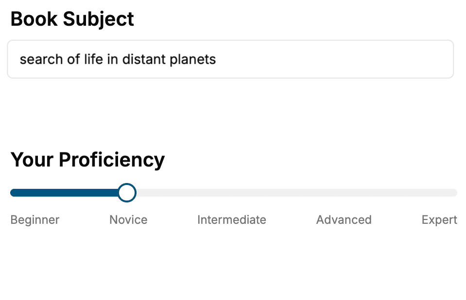
Select the focus of your Remote Sensing book and share your background
- 2. Personalize your book
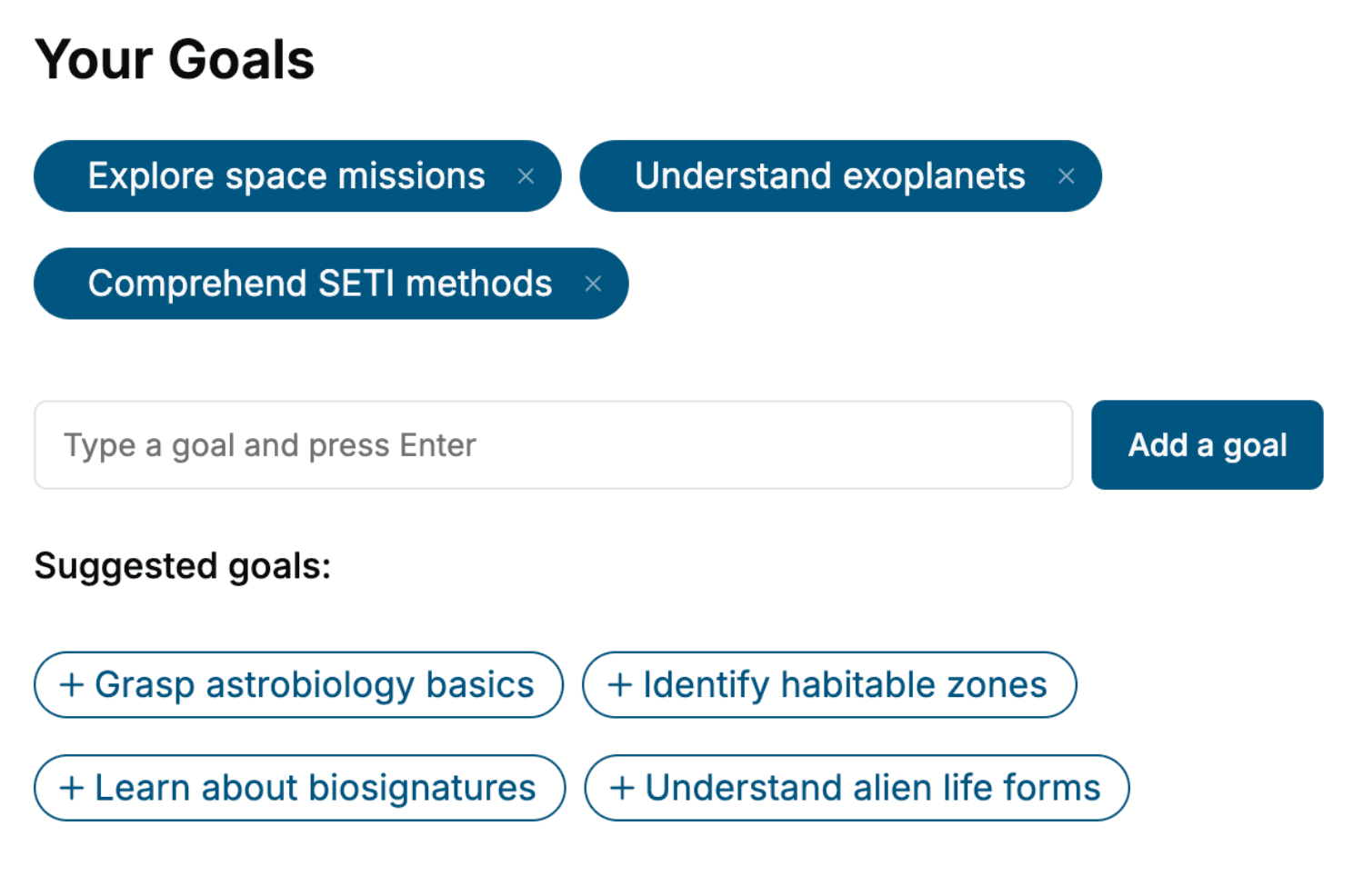
Specify your goals and choose sub-topics to include
- 3. Get your tailored book
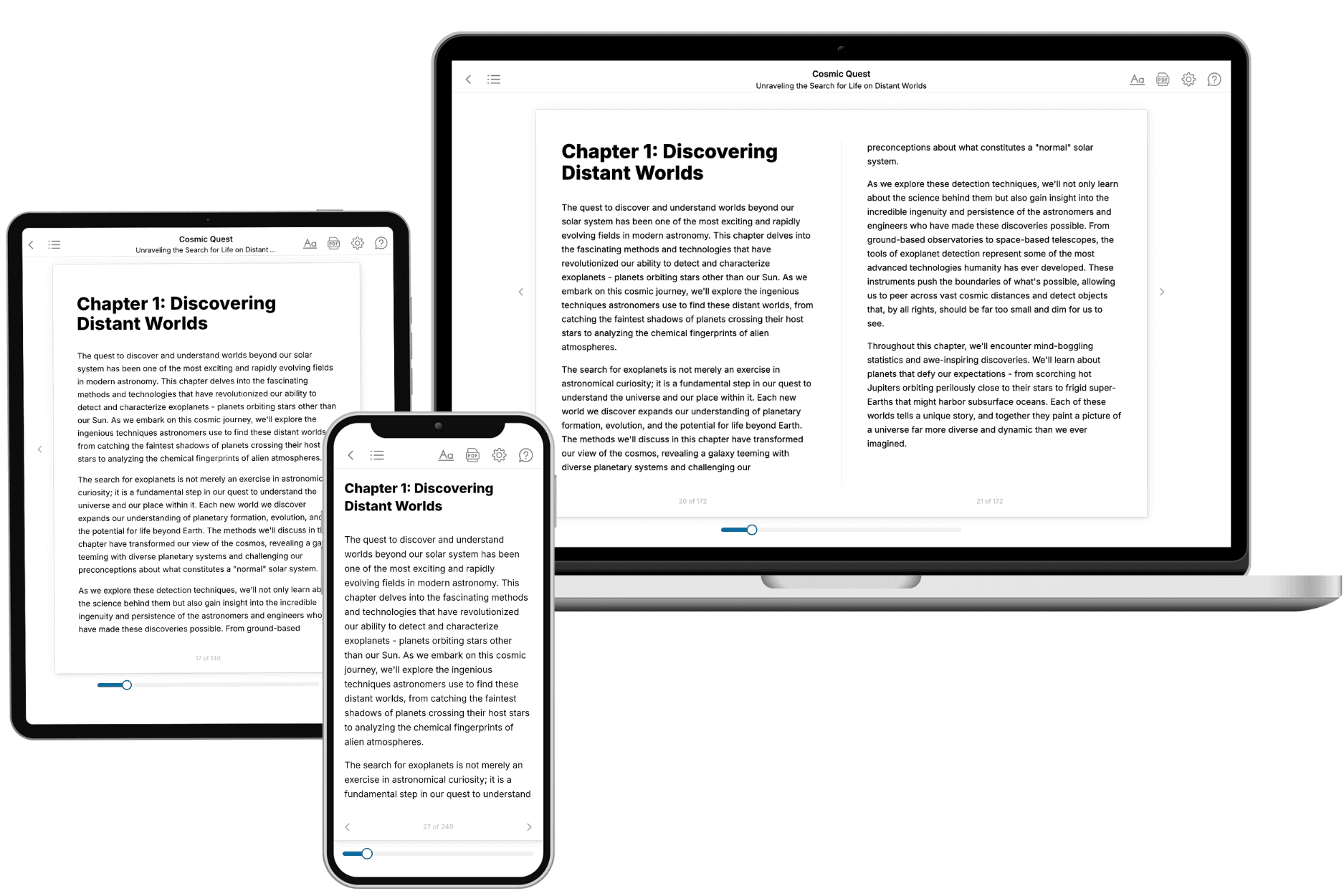
Your book is ready in 10 minutes. Read it online, download as EPUB or PDF, or send to Kindle.
Frequently asked questions
- What is TailoredRead?
TailoredRead creates complete, full-length nonfiction ebooks, written specifically for you. Tell us what you want to learn and why, and TailoredRead writes you a complete ebook on it, with charts, tables, and diagrams throughout. Read it online, on Kindle, or on any e-reader, or download it as a PDF or EPUB. Every book is written fresh the day you order it.
- How is the book tailored to me?
Before anything is written, you answer a few short questions about your goals, your background, and the topics you care about. Your book is then planned around your answers: written at your level, focused on your goals, and covering the topics you chose, instead of the one-size-fits-all book a store sells everyone.
- Will it read like generic AI content?
No. Your book isn't a chat transcript: it's planned chapter by chapter before a single word is written, told in a clear book voice, and explains ideas visually with charts, tables, and diagrams. After writing, every book goes through an editorial pass that polishes chapters so the book reads consistent from start to finish. Judge for yourself: browse thousands of sample books on our Explore Books page.
- How accurate is the content?
Our AI first checks whether your subject needs live research. Niche and fast-moving subjects are researched before writing, and the book plan and chapters are grounded in what it finds. After writing, every book goes through a quality pass that checks its facts and consistency, and researched books list their sources in a Notes section at the back.
- How long is the book?
You choose the length: Comprehensive (250-300 pages), Detailed (150-200 pages), Essential (70-100 pages), or Short (30-50 pages).
- Does the book include visuals?
Yes. Every book includes charts, tables, and diagrams: timelines, checklists, step-by-step guides, decision trees, comparison tables, matrices, and bar charts. A typical book includes dozens of these visual elements.
- Can I read it on Kindle? What formats can I download?
Yes. Every book can be read in our online reader or downloaded as a PDF or EPUB. The EPUB can be opened with Kindle, Apple Books, Kobo, and any e-reader. The Commercial and Author licenses also include an editable Word (DOCX) and Markdown download.
- How much does it cost?
About the price of a regular ebook. The exact price depends on your book's length and complexity, from $2 for the shortest books to $35 for the most comprehensive, and it's shown when you review your book, before you commit to anything. Each book is a one-time purchase, yours to keep, no subscription. Licenses that let you share, teach, or publish your book range from $35.99 to $49.99.
- Can I preview the book before purchasing?
Before you pay, you'll see what your book will cover: the title, a detailed description, the estimated length, and the complete chapter-by-chapter table of contents, so you know what you're getting before you decide. The full text itself is written after you purchase.
- How long does it take to create a book?
About 10 minutes. You can start reading the opening chapters while the rest is still being written.