Reading the Waters
A Practical Guide to Understanding Floodplain Maps and Flood Risk
Gain the skills to confidently read and interpret floodplain maps, transforming raw geographic data into actionable knowledge for your travels and decisions.
191 pages9 chaptersJan 18, 2026Geography
About this book
Whether you're planning a hiking trip, evaluating a property, or simply curious about flood risk in your region, this guide demystifies the technical aspects of floodplain mapping and shows you how to use these critical tools effectively. You'll learn how maps are created, what the different zones mean, and how to identify areas of genuine concern versus those with minimal risk. Discover how to access free mapping resources, understand the science behind flood probability designations, and recognize when historical data may not reflect current conditions. By the end, you'll navigate floodplain information with confidence, ask the right questions of local authorities, and make decisions grounded in solid geographic understanding rather than fear or guesswork.
Table of contents
- IntroductionWhy Floodplain Maps Matter, What You'll Learn in This Guide, How to Use This BookRead below
- Chapter 1: Fundamentals of FloodingHow Floods Occur, Types of Floods, Flood Frequency and Probability
- Chapter 2: Anatomy of Floodplain MapsWhat Floodplain Maps Show, Zones and Designations, Reading Map Symbols and Legends
- Chapter 3: Data Sources and Map CreationWhere Floodplain Data Comes From, Elevation and Topographic Data, Hydrological Modeling Explained, Limitations of Historical Data
- Chapter 4: Accessing Floodplain MapsFEMA Flood Maps, USGS and State Resources, Digital Mapping Tools and GIS
- Chapter 5: Interpreting Flood ZonesSpecial Flood Hazard Areas, 100-Year and 500-Year Floods, Areas of Minimal Flood Risk
- Chapter 6: Climate Change and Evolving RiskHow Climate Affects Flooding, Updating Maps for Modern Conditions, Beyond the Mapped Floodplain
- Chapter 7: Practical ApplicationsEvaluating Property and Real Estate, Planning Travel and Outdoor Activities, Assessing Risk for Your Community
- Chapter 8: Advanced Mapping ConceptsWatershed and Drainage Basins, Stream Flow and Velocity, Urban Development Impacts
- Chapter 9: Case Studies and ExamplesReading Real-World Maps, Lessons from Major Flood Events, Success Stories in Flood Mitigation
- ConclusionBecoming a Confident Map Reader, Next Steps and Resources
- Glossary
Introduction
Water shapes the landscape around us in ways both subtle and dramatic. Rivers carve valleys over millennia, streams meander across plains, and during intense rainfall or snowmelt, these waterways can overflow their banks and transform familiar terrain into something unrecognizable. Understanding where water goes when it exceeds normal boundaries isn't just academic curiosity—it's practical knowledge that affects decisions about where to live, where to travel, and how to prepare for natural events. Floodplain maps provide this critical information, translating complex hydrological data into visual representations that anyone can learn to read and interpret.
For decades, floodplain maps existed primarily as technical documents used by engineers, urban planners, and insurance professionals. These maps sat in government offices and planning departments, consulted mainly during construction projects or insurance determinations. The digital revolution changed everything. Today, detailed floodplain information is available at your fingertips through online portals, interactive mapping tools, and geographic information systems accessible from any computer or smartphone. This democratization of data means you no longer need specialized training to access flood risk information—but you do need to understand what you're looking at and how to interpret it correctly.
The challenge isn't finding floodplain maps anymore; it's understanding them. A map covered with colored zones, probability percentages, and technical designations can seem overwhelming at first glance. Terms like "100-year floodplain" and "Special Flood Hazard Area" sound precise but often confuse rather than clarify. Different agencies produce different maps with varying levels of detail and accuracy. Climate change adds another layer of complexity, as historical patterns that informed older maps may no longer reflect current realities. This guide cuts through the confusion and gives you the knowledge to read these maps with confidence, understanding both what they show and what they don't.
Whether you're considering purchasing property near a river, planning a camping trip in an unfamiliar area, or simply want to understand the flood risk in your own neighborhood, the ability to interpret floodplain maps is an invaluable skill. This introduction sets the stage for your journey from confusion to competence, from seeing colored zones to understanding the real-world implications they represent. You'll discover that floodplain maps, once decoded, become powerful tools for making informed decisions rather than intimidating technical documents best left to experts.
Why Floodplain Maps Matter
Flooding causes more damage in the United States than any other weather-related disaster, with average annual losses exceeding $8 billion[1]. These aren't just statistics—they represent homes destroyed, communities disrupted, and lives upended. What makes flooding particularly challenging is its unpredictability from a layperson's perspective. Unlike earthquake zones or hurricane-prone coastlines, flood-vulnerable areas aren't always obvious. A property might sit peacefully for decades before a single storm event causes catastrophic damage. Floodplain maps exist to make this invisible risk visible, providing advance warning about where water is likely to go when conditions align.
The financial implications of flood risk extend far beyond property damage. Mortgage lenders require flood insurance for properties in designated high-risk zones, adding hundreds or thousands of dollars to annual housing costs. Property values in flood-prone areas often reflect this risk, sometimes dramatically. A house just inside a floodplain boundary might sell for significantly less than an identical house across the street in a lower-risk zone. Understanding floodplain maps before making real estate decisions can save you from unexpected insurance requirements, declining property values, or worse—uninsured losses during a flood event. These maps provide the information you need to ask the right questions and negotiate from a position of knowledge.
Beyond property and finance, floodplain maps serve critical safety functions. They inform emergency management planning, helping communities prepare evacuation routes and position resources before disasters strike. They guide infrastructure development, ensuring that roads, bridges, and utilities account for flood risk in their design and placement. For outdoor enthusiasts, these maps reveal which campsites, trailheads, and recreation areas might become dangerous during heavy rainfall. A beautiful riverside campsite in summer could become a deadly trap during a flash flood. Floodplain maps help you recognize these risks before you're in a dangerous situation.
The regulatory landscape surrounding floodplains affects everyone, whether you realize it or not. Federal, state, and local governments use floodplain maps to establish building codes, zoning restrictions, and development standards. If you want to build a structure, add to your home, or develop land in a mapped floodplain, you'll encounter regulations designed to minimize flood damage and protect both you and downstream neighbors. These regulations can affect construction costs, design options, and even whether a project is feasible at all. Understanding the maps that drive these regulations helps you navigate the permitting process and plan projects that comply with requirements from the start.
Climate change adds urgency to floodplain literacy. Precipitation patterns are shifting, with some regions experiencing more intense rainfall events while others face prolonged droughts followed by sudden deluges. Sea level rise is expanding coastal floodplains inland. Snowmelt patterns are changing as temperatures warm. These shifts mean that historical flood patterns—the foundation of most current floodplain maps—may not accurately predict future risk. Understanding how to read current maps while recognizing their limitations prepares you to make decisions that account for both present conditions and likely future changes. This forward-looking perspective is essential for long-term planning, whether you're choosing where to live, where to invest, or where to explore.
Floodplain maps also matter for community resilience and environmental stewardship. Floodplains serve important ecological functions, filtering water, recharging groundwater, and providing habitat for diverse species. When communities understand their floodplains, they can make better decisions about preservation versus development, balancing human needs with environmental protection. Green infrastructure solutions like restored wetlands and preserved riparian buffers can reduce flood risk while providing ecological benefits. Reading floodplain maps helps you participate meaningfully in community planning discussions, advocate for smart development, and understand the tradeoffs involved in land use decisions that affect everyone.
Perhaps most importantly, floodplain maps empower you to take control of your own risk assessment. Rather than relying solely on real estate agents, insurance agents, or government assurances, you can independently verify flood risk for any location. This independence is particularly valuable when different sources provide conflicting information or when you're evaluating areas where local knowledge may be limited. The ability to pull up a floodplain map, understand what it shows, and draw your own conclusions transforms you from a passive recipient of information into an active, informed decision-maker. This empowerment is the ultimate reason floodplain maps matter—they give you the knowledge to protect yourself, your family, and your investments.
What You'll Learn in This Guide
This guide takes you on a structured journey from fundamental concepts to advanced applications, building your knowledge systematically. You'll start with the basics of how floods occur and why certain areas are more vulnerable than others. Understanding the physical processes behind flooding—how water moves across landscapes, what factors influence flood severity, and why some events are predictable while others seem to come from nowhere—provides the foundation for everything that follows. Without this grounding in flood mechanics, maps remain abstract diagrams rather than representations of real physical processes.
The core of this guide focuses on map anatomy and interpretation. You'll learn to identify and understand the various zones, designations, and symbols that appear on floodplain maps. This includes decoding the difference between Zone A, Zone AE, Zone X, and other designations that initially seem like alphabet soup. You'll discover what "100-year flood" actually means (hint: it's not what most people think), why some areas show detailed elevation data while others display only general risk categories, and how to recognize when a map is based on detailed studies versus approximate methods. These interpretation skills transform confusing technical documents into readable, useful tools.
You'll gain practical knowledge about accessing floodplain maps from various sources. The guide walks you through:
- Navigating FEMA's National Flood Hazard Layer and Flood Map Service Center
- Using USGS resources for topographic and hydrological data
- Accessing state and local mapping portals that may provide more current or detailed information
- Working with digital GIS tools that allow you to overlay multiple data layers
- Understanding which sources are authoritative for different purposes
The guide addresses the science behind floodplain mapping, explaining how maps are created from raw data. You'll understand how elevation surveys, stream gauge measurements, rainfall records, and computer modeling combine to produce the zones you see on finished maps. This behind-the-scenes knowledge helps you recognize why maps for different areas vary in detail and accuracy, why some maps are decades old while others are recently updated, and what factors might make a particular map more or less reliable for your purposes. Understanding the creation process also reveals the inherent uncertainties and assumptions built into every floodplain map.
Climate change and evolving flood risk receive dedicated attention. You'll learn how changing precipitation patterns, sea level rise, and altered snowmelt timing affect flood risk in ways that historical data may not capture. The guide provides frameworks for thinking about future risk, not just past patterns. You'll discover how to identify areas where current maps may underestimate risk due to recent development, changing climate conditions, or outdated modeling. This forward-looking perspective is essential for decisions with long-term implications, like purchasing property or planning infrastructure that must function for decades.
Practical applications bring abstract knowledge into the real world. Dedicated sections show you how to apply floodplain map skills to specific scenarios:
- Property evaluation: Assessing flood risk before purchase, understanding insurance implications, and identifying mitigation opportunities
- Travel planning: Checking flood risk for destinations, timing trips to avoid high-risk periods, and selecting safe camping or lodging locations
- Outdoor activities: Evaluating trailheads, river access points, and backcountry campsites for flash flood potential
- Community engagement: Participating in local planning discussions, understanding proposed developments, and advocating for flood-resilient policies
Advanced concepts build on foundational knowledge for those who want deeper understanding. You'll explore watershed dynamics and how upstream conditions affect downstream flood risk. Stream flow velocity, channel capacity, and the impact of urban development on natural drainage patterns all receive attention. These advanced topics aren't just theoretical—they help you understand why some areas flood when others nearby don't, why development in one location can increase flood risk elsewhere, and how natural features and human modifications interact to create the flood risk landscape. This systems-level thinking elevates your analysis beyond simply reading what a map shows to understanding why it shows what it does.
Throughout the guide, case studies and real-world examples illustrate concepts in concrete terms. You'll examine actual flood events, see how maps did or didn't predict outcomes, and learn from both successes and failures in flood risk management. These examples come from diverse geographic settings—coastal areas, river valleys, urban centers, and rural landscapes—ensuring you see how principles apply across different contexts. The case studies also highlight common pitfalls and misconceptions, helping you avoid mistakes that others have made when interpreting or acting on floodplain information.
By the end of this guide, you'll possess a comprehensive skill set for floodplain map literacy. You'll confidently access maps from multiple sources, interpret zones and designations accurately, understand the data and modeling behind the maps, recognize limitations and uncertainties, and apply this knowledge to real decisions. You'll know which questions to ask local officials, how to verify information from different sources, and when to seek additional expert input. Most importantly, you'll approach flood risk with informed awareness rather than either complacency or unnecessary fear, making decisions grounded in solid understanding of the actual risks involved.
How to Use This Book
This guide is designed for flexible use depending on your current knowledge level and immediate needs. If you're completely new to floodplain maps, reading straight through from beginning to end provides the most comprehensive learning experience. Each chapter builds on previous concepts, creating a logical progression from basic flood mechanics through advanced interpretation techniques. This sequential approach ensures you don't encounter unfamiliar terms or concepts without the background to understand them. The early chapters establish vocabulary and fundamental principles that later chapters assume you know.
For readers with some existing knowledge, the guide supports selective reading based on your specific interests or needs. Each chapter stands relatively independently, with cross-references when concepts from other sections are relevant. If you already understand basic flood mechanics but need help accessing digital mapping tools, you can jump directly to Chapter 4. If you're specifically interested in how climate change affects flood risk, Chapter 6 addresses that topic in depth. The detailed table of contents and clear chapter organization make it easy to locate specific information quickly. However, even experienced readers may benefit from skimming earlier chapters, as they often contain nuances or perspectives that deepen understanding.
The guide includes several features designed to enhance learning and retention:
- Concrete examples: Abstract concepts are illustrated with specific scenarios, locations, and situations that make principles tangible
- Step-by-step processes: Complex tasks are broken down into manageable steps with clear instructions
- Visual descriptions: Since this is a text-based guide, detailed descriptions help you understand what to look for on actual maps
- Common pitfalls: Highlighted warnings about frequent mistakes and misconceptions help you avoid errors
- Practical applications: Each major concept connects to real-world uses, ensuring knowledge translates to action
To get maximum value from this guide, consider keeping it accessible while you work with actual floodplain maps. The book is most useful as a reference companion during real map interpretation, not just as something to read once and shelve. When you encounter an unfamiliar zone designation, a confusing symbol, or uncertainty about what a particular feature means, consult the relevant section for clarification. This just-in-time learning approach, where you reference the guide while solving actual problems, often produces deeper understanding than reading without immediate application. The knowledge sticks better when you're using it to answer real questions about specific locations.
For those using this guide to make important decisions—like property purchases or community planning—take time to work through the practical application sections carefully. These chapters provide frameworks for systematic analysis rather than quick answers. Flood risk assessment isn't usually a simple yes-or-no determination; it involves weighing multiple factors, understanding probabilities, and making informed judgments based on your specific situation and risk tolerance. The guide gives you the tools for this analysis but can't make decisions for you. Treat the practical sections as templates for your own thinking process, adapting the frameworks to your unique circumstances.
The guide assumes you have moderate familiarity with maps in general and basic geographic concepts. You should be comfortable with ideas like elevation, topography, and cardinal directions. If terms like "watershed" or "drainage basin" are completely unfamiliar, you might benefit from reviewing basic geography resources alongside this guide. However, the book doesn't assume specialized knowledge of hydrology, engineering, or GIS technology. Technical concepts are explained in accessible language with analogies and examples that connect to everyday experience. When specialized terminology is necessary, it's defined clearly in context and included in the glossary for easy reference.
Active engagement enhances learning significantly. As you read, consider specific locations you care about—your home, a property you're considering, a favorite camping area, or a place you plan to visit. Look up the actual floodplain maps for these locations and practice applying what you're learning. This personal connection makes abstract concepts concrete and helps you discover which aspects of floodplain mapping are most relevant to your needs. You might find that certain chapters deserve multiple readings while others are less applicable to your situation. This personalized approach ensures the time you invest in this guide produces maximum practical value.
The guide also serves as a foundation for further learning if you want to go deeper into specific topics. References and footnotes throughout point to authoritative sources where you can find more detailed technical information. The resource section in the conclusion provides starting points for continued exploration. Think of this guide as your entry point into floodplain literacy—it provides the essential knowledge to function independently, but the field is deep enough to support a lifetime of learning if you're so inclined. Whether you stop here with practical competence or continue into more specialized study, this guide gives you the foundation to build upon.
Finally, remember that floodplain maps are tools, not crystal balls. They provide valuable information based on the best available data and modeling, but they have limitations and uncertainties. This guide teaches you to use these tools effectively while understanding their constraints. The goal isn't to make you fearful of flood risk or dismissive of it, but to help you assess it accurately and make informed decisions. Approach the material with the understanding that you're developing judgment and analytical skills, not just memorizing facts. The ability to think critically about flood risk, recognize what you know and don't know, and seek additional information when needed is ultimately more valuable than any specific piece of knowledge about map symbols or zone designations.
Notes
Introduction
- 1. National Oceanic and others, , 2023
This is the end of the free sample. The full book has 9 chapters.
Want this book written for you?
Tell us your goals and background, and get your own version of this book, tailored by AI to you.


Benefits of AI-tailored books
- Read one book, not ten:
- all the Geography knowledge you need, gathered into a single book.
- Save days of learning:
- tell us your goals, choose your topics, and the whole book is built around them.
- Learn effortlessly:
- Geography book written for your specific background and expertise.
- Understand at a glance:
- includes charts, tables, timelines, checklists, decision trees, and more.
- Stay current:
- written the day you order it, not years ago.
- Trust what you read:
- every book is checked for accuracy, with real research when your subject needs it.
Create your unique book in 3 steps
- 1. Select your focus
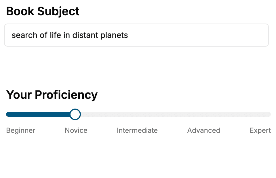
Select the focus of your Geography book and share your background
- 2. Personalize your book
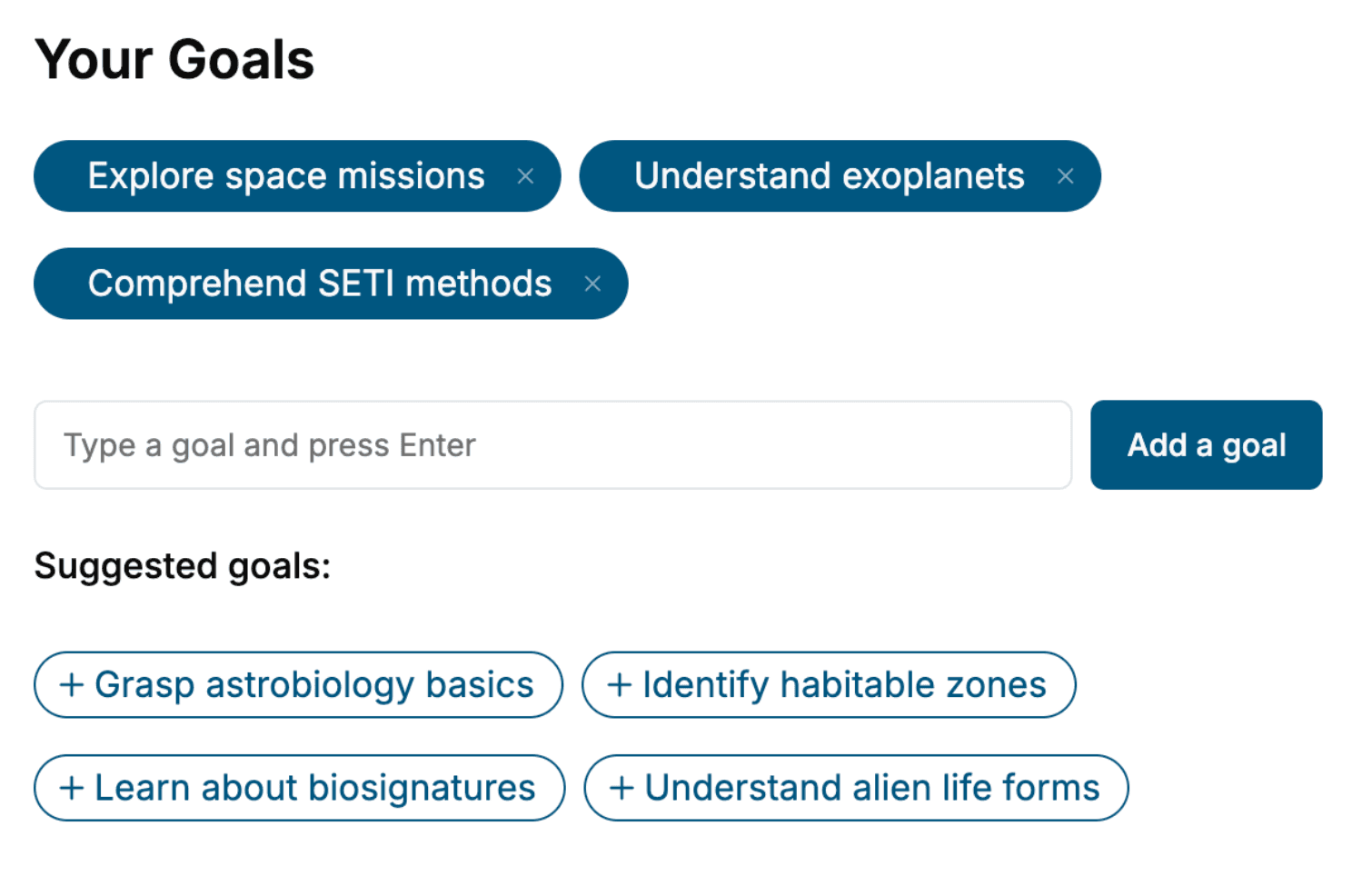
Specify your goals and choose sub-topics to include
- 3. Get your tailored book
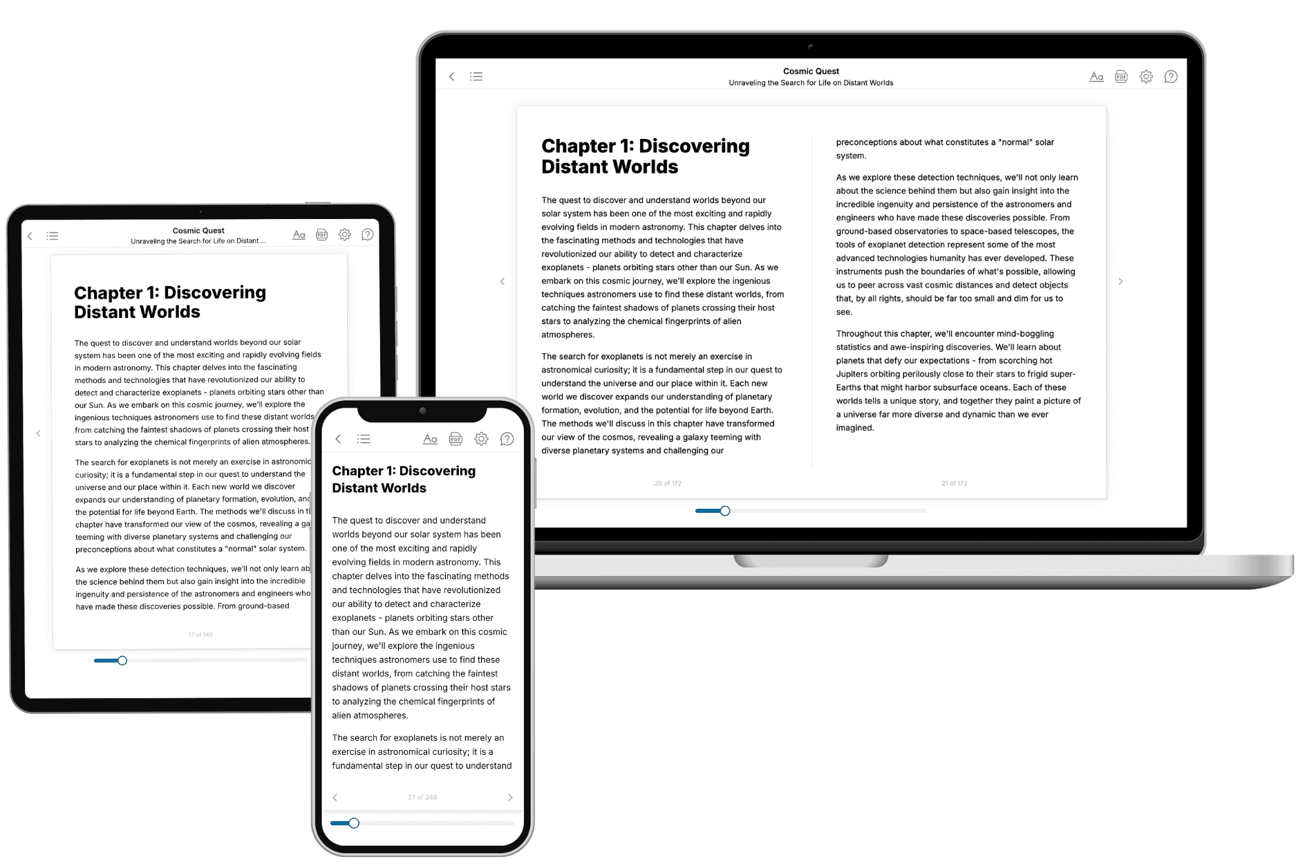
Your book is ready in 10 minutes. Read it online, download as EPUB or PDF, or send to Kindle.
Frequently asked questions
- What is TailoredRead?
TailoredRead creates complete, full-length nonfiction ebooks, written specifically for you. Tell us what you want to learn and why, and TailoredRead writes you a complete ebook on it, with charts, tables, and diagrams throughout. Read it online, on Kindle, or on any e-reader, or download it as a PDF or EPUB. Every book is written fresh the day you order it.
- How is the book tailored to me?
Before anything is written, you answer a few short questions about your goals, your background, and the topics you care about. Your book is then planned around your answers: written at your level, focused on your goals, and covering the topics you chose, instead of the one-size-fits-all book a store sells everyone.
- Will it read like generic AI content?
No. Your book isn't a chat transcript: it's planned chapter by chapter before a single word is written, told in a clear book voice, and explains ideas visually with charts, tables, and diagrams. After writing, every book goes through an editorial pass that polishes chapters so the book reads consistent from start to finish. Judge for yourself: browse thousands of sample books on our Explore Books page.
- How accurate is the content?
Our AI first checks whether your subject needs live research. Niche and fast-moving subjects are researched before writing, and the book plan and chapters are grounded in what it finds. After writing, every book goes through a quality pass that checks its facts and consistency, and researched books list their sources in a Notes section at the back.
- How long is the book?
You choose the length: Comprehensive (250-300 pages), Detailed (150-200 pages), Essential (70-100 pages), or Short (30-50 pages).
- Does the book include visuals?
Yes. Every book includes charts, tables, and diagrams: timelines, checklists, step-by-step guides, decision trees, comparison tables, matrices, and bar charts. A typical book includes dozens of these visual elements.
- Can I read it on Kindle? What formats can I download?
Yes. Every book can be read in our online reader or downloaded as a PDF or EPUB. The EPUB can be opened with Kindle, Apple Books, Kobo, and any e-reader. The Commercial and Author licenses also include an editable Word (DOCX) and Markdown download.
- How much does it cost?
About the price of a regular ebook. The exact price depends on your book's length and complexity, from $2 for the shortest books to $35 for the most comprehensive, and it's shown when you review your book, before you commit to anything. Each book is a one-time purchase, yours to keep, no subscription. Licenses that let you share, teach, or publish your book range from $35.99 to $49.99.
- Can I preview the book before purchasing?
Before you pay, you'll see what your book will cover: the title, a detailed description, the estimated length, and the complete chapter-by-chapter table of contents, so you know what you're getting before you decide. The full text itself is written after you purchase.
- How long does it take to create a book?
About 10 minutes. You can start reading the opening chapters while the rest is still being written.