Remote Sensing Revealed
Mastering GIS Applications for Geospatial Analysis and Decision-Making
Think remote sensing is just about satellite imagery?
300 pages15 chaptersFeb 4, 2025Remote Sensing
About this book
Think again. Remote Sensing Revealed shatters this common misconception, unveiling the vast potential of this cutting-edge technology in the realm of Geographic Information Systems (GIS). This comprehensive guide takes you beyond the basics, exploring the intricate world of remote sensing applications in GIS. You'll discover how to harness the power of multispectral imagery, LiDAR data, and thermal sensors to unlock valuable insights about our planet. From environmental monitoring to urban planning, you'll learn how to apply these techniques to real-world scenarios, enhancing your decision-making capabilities. Whether you're a GIS professional looking to expand your skill set or a student aiming to stay ahead of the curve, Remote Sensing Revealed equips you with the knowledge and tools to excel in this rapidly evolving field. By the end of this book, you'll have a solid grasp of remote sensing principles, data interpretation techniques, and practical applications that will set you apart in the world of geospatial analysis.
Table of contents
- IntroductionOverview of Remote Sensing in GIS, Book Structure and How to Use It, The Importance of Remote Sensing ApplicationsRead below
- Chapter 1: Fundamentals of Remote SensingThe Electromagnetic Spectrum, Types of Remote Sensors, Remote Sensing Platforms, Resolution Concepts in Remote Sensing
- Chapter 2: Remote Sensing Data AcquisitionSatellite Imagery Collection, Aerial Photography and Videography, LiDAR Data Acquisition, UAV-based Data Collection
- Chapter 3: Remote Sensing Data ProcessingData Preprocessing Techniques, Atmospheric Correction, Geometric Correction and Orthorectification, Image Enhancement and Filtering
- Chapter 4: Image Interpretation and AnalysisVisual Interpretation Techniques, Understanding Spectral Signatures, Band Combinations and Indices, Object-Based Image Analysis
- Chapter 5: Classification TechniquesSupervised Classification Methods, Unsupervised Classification Approaches, Machine Learning in Image Classification, Accuracy Assessment of Classifications
- Chapter 6: Multispectral and Hyperspectral ImagingPrinciples of Multispectral Imaging, Hyperspectral Data Analysis, Vegetation Indices and Applications, Mineral Mapping and Geology Applications
- Chapter 7: LiDAR Applications in GISPrinciples of LiDAR Technology, Digital Elevation Model Generation, 3D Modeling and Visualization, Forestry and Vegetation Analysis
- Chapter 8: Thermal Remote SensingPrinciples of Thermal Imaging, Urban Heat Island Analysis, Fire Detection and Monitoring, Geothermal Exploration Applications
- Chapter 9: Change Detection and Time Series AnalysisChange Detection Methodologies, Land Cover and Land Use Change Analysis, Time Series Data Visualization, Trend Analysis and Forecasting
- Chapter 10: Environmental ApplicationsEcosystem Monitoring and Assessment, Water Quality and Hydrological Analysis, Climate Change Studies, Natural Disaster Management
- Chapter 11: Urban Planning and InfrastructureUrban Growth and Sprawl Analysis, Infrastructure Mapping and Management, Transportation Network Analysis, Green Space and Urban Ecology Assessment
- Chapter 12: Agricultural ApplicationsCrop Health Monitoring, Yield Estimation and Forecasting, Precision Agriculture Techniques, Soil Moisture and Nutrient Analysis
- Chapter 13: Integration with GIS and Spatial AnalysisData Fusion Techniques, Spatial Analysis with Remote Sensing Data, Web GIS and Remote Sensing Integration, Big Data Approaches in Remote Sensing
- Chapter 14: Future Trends and Emerging TechnologiesArtificial Intelligence and Machine Learning, Cloud Computing in Remote Sensing, Internet of Things (IoT) Integration, Virtual and Augmented Reality Applications
- Chapter 15: Ethical Considerations and Data PrivacyPrivacy Concerns in Remote Sensing, Data Ownership and Sharing Policies, Environmental Impact of Remote Sensing Activities, Ethical Decision-Making in Geospatial Analysis
- Conclusion
- Glossary
- Further Reading
Introduction
Welcome to the fascinating world of remote sensing and its applications in Geographic Information Systems (GIS). As you embark on this journey through "Remote Sensing Revealed," you are about to discover the immense potential of this cutting-edge technology and how it can revolutionize your approach to geospatial analysis and decision-making. This introduction serves as your gateway to understanding the fundamental concepts, the structure of this book, and the critical importance of remote sensing applications in today's data-driven world.
Remote sensing has come a long way since its inception, evolving from simple aerial photography to sophisticated satellite-based systems capable of capturing intricate details of our planet's surface. Today, it stands as a cornerstone of modern GIS, providing invaluable data for a wide range of applications, from environmental monitoring and urban planning to disaster management and precision agriculture. As you progress through this book, you will gain a comprehensive understanding of how remote sensing integrates with GIS to enhance spatial analysis and inform critical decisions across various sectors.
Whether you are a GIS professional looking to expand your skill set, a student aiming to stay ahead in the field, or simply an enthusiast curious about the power of geospatial technology, this book is designed to cater to your needs. By the end of this journey, you will have acquired not only a solid theoretical foundation but also practical knowledge that you can apply in real-world scenarios. So, let's dive in and uncover the hidden potential of remote sensing in GIS!
Overview of Remote Sensing in GIS
Remote sensing, at its core, is the art and science of gathering information about objects or areas from a distance, typically from aircraft or satellites. This powerful technique allows us to observe and analyze the Earth's surface without physical contact, providing a unique perspective that is invaluable in numerous fields. In the context of Geographic Information Systems (GIS), remote sensing serves as a crucial data source, offering up-to-date, accurate, and comprehensive information about our planet's features and phenomena.
The integration of remote sensing with GIS has revolutionized the way we understand and interact with our environment. By combining the spatial analysis capabilities of GIS with the rich, multidimensional data provided by remote sensing, we can uncover patterns, trends, and relationships that would be impossible to detect through ground-based observations alone. This synergy enables professionals across various disciplines to make more informed decisions, develop better strategies, and gain deeper insights into complex spatial problems.
Remote sensing in GIS encompasses a wide range of technologies and methodologies. At its foundation are the various sensors used to capture data, each designed to detect specific types of electromagnetic radiation reflected or emitted by the Earth's surface. These sensors can be broadly categorized into passive sensors, which detect naturally occurring radiation (such as sunlight reflected from the Earth's surface), and active sensors, which emit their own energy and measure the reflection. Examples of passive sensors include multispectral and hyperspectral imagers, while active sensors include LiDAR (Light Detection and Ranging) and radar systems.
The data collected by these sensors comes in various forms, including satellite imagery, aerial photographs, LiDAR point clouds, and radar interferograms. Each type of data offers unique insights and is suited to different applications. For instance, high-resolution satellite imagery is excellent for mapping land cover and monitoring urban growth, while LiDAR data is invaluable for creating detailed 3D models of terrain and structures. The ability to combine and analyze these diverse data types within a GIS environment is what makes remote sensing such a powerful tool for spatial analysis and decision-making.
One of the key advantages of remote sensing in GIS is its ability to provide consistent, repeatable measurements over large areas and long periods. This temporal aspect allows for the detection and monitoring of changes in the environment, whether they're rapid changes like those caused by natural disasters or gradual changes like urban expansion or deforestation. Time series analysis of remote sensing data can reveal long-term trends and patterns, providing crucial information for environmental management, urban planning, and climate change studies.
Moreover, remote sensing offers access to information about areas that may be difficult, dangerous, or impossible to survey on the ground. This capability is particularly valuable in studying remote or inaccessible regions, monitoring conflict zones, or assessing the impact of natural disasters. By providing a safe and efficient means of data collection, remote sensing enables continuous monitoring and rapid response to changing conditions on the ground.
The integration of remote sensing data into GIS also facilitates the creation of rich, multi-layered maps and visualizations. By overlaying remote sensing data with other geospatial information, such as administrative boundaries, transportation networks, or demographic data, analysts can create comprehensive views of complex spatial relationships. This integration supports advanced spatial analysis techniques, including land suitability assessments, habitat modeling, and risk analysis, among others.
As technology continues to advance, the field of remote sensing is evolving rapidly. The increasing availability of high-resolution satellite imagery, the proliferation of unmanned aerial vehicles (UAVs) for data collection, and the development of new sensors and processing algorithms are expanding the possibilities of what can be achieved with remote sensing in GIS. Emerging technologies like artificial intelligence and machine learning are being applied to automate the interpretation of remote sensing data, enabling faster and more accurate analysis of large datasets.
Throughout this book, you will explore these concepts in depth, gaining a comprehensive understanding of how remote sensing data is acquired, processed, and analyzed within a GIS framework. You will learn about the various types of sensors and platforms used in remote sensing, the principles behind different imaging techniques, and the methods for extracting meaningful information from raw data. By the end of this journey, you will be equipped with the knowledge and skills to leverage remote sensing data effectively in your GIS projects, opening up new possibilities for spatial analysis and decision-making in your field of interest.
As we delve deeper into the world of remote sensing in GIS, remember that this technology is not just about collecting data – it's about gaining new perspectives on our world, uncovering hidden patterns, and making informed decisions that can have far-reaching impacts on our environment and society. The skills and knowledge you gain from this book will empower you to contribute to this exciting field and make a difference in how we understand and manage our planet's resources.
Book Structure and How to Use It
"Remote Sensing Revealed" is designed to provide you with a comprehensive and structured approach to understanding and applying remote sensing techniques in GIS. The book is organized in a logical progression, starting with fundamental concepts and gradually moving towards more advanced topics and applications. This structure allows you to build your knowledge systematically, ensuring a solid foundation before tackling more complex subjects. Whether you're new to remote sensing or looking to expand your existing knowledge, this book caters to a range of expertise levels and learning styles.
The book is divided into several key sections, each focusing on a specific aspect of remote sensing in GIS. We begin with the fundamentals, introducing you to the basic principles of remote sensing, the electromagnetic spectrum, and the various types of sensors and platforms used in data acquisition. This foundational knowledge is crucial for understanding the subsequent chapters and will serve as a reference point throughout your journey. As you progress, you'll delve into more specific topics such as data processing techniques, image interpretation, and classification methods. These chapters are designed to equip you with the practical skills needed to work with remote sensing data effectively.
Following the technical foundations, the book explores various applications of remote sensing in different fields. These chapters demonstrate how the principles and techniques you've learned can be applied to real-world scenarios in environmental monitoring, urban planning, agriculture, and more. By presenting concrete examples and case studies, these sections bridge the gap between theory and practice, helping you understand the practical implications of remote sensing in GIS.
To make the most of this book, it's recommended that you follow the chapters in order, especially if you're new to the field. Each chapter builds upon the knowledge from previous sections, creating a cohesive learning experience. However, if you're already familiar with certain aspects of remote sensing, feel free to jump to specific chapters that interest you or align with your current projects. The book is designed to be both a comprehensive guide and a reference resource, allowing you to revisit sections as needed in your work or studies.
Throughout the book, you'll find various features designed to enhance your learning experience:
- Key Concepts: At the beginning of each chapter, you'll find a list of key concepts that will be covered. This serves as a quick overview and helps you focus on the most important takeaways.
- Practical Examples: Real-world examples and case studies are integrated throughout the text to illustrate how theoretical concepts are applied in practice.
- Technical Diagrams and Illustrations: Complex ideas are often accompanied by visual aids to help you better understand the concepts.
- Code Snippets: Where relevant, you'll find examples of code or algorithms used in remote sensing analysis, giving you practical insights into data processing techniques.
- Review Questions: At the end of each chapter, review questions help reinforce your understanding and encourage critical thinking about the material covered.
- Further Reading: For those interested in diving deeper into specific topics, each chapter concludes with suggestions for additional resources and academic papers.
One of the unique aspects of this book is its focus on the integration of remote sensing with GIS. Throughout the text, you'll learn not just about remote sensing techniques in isolation, but how they can be leveraged within a GIS environment to enhance spatial analysis and decision-making. This integrated approach reflects the reality of how remote sensing is used in professional settings and prepares you for real-world applications.
As you work through the book, it's important to engage actively with the material. Try to relate the concepts to your own experiences or projects you're familiar with. If possible, follow along with the practical examples using GIS software and sample datasets. Many of the techniques described can be practiced using open-source tools and freely available satellite imagery, allowing you to gain hands-on experience without the need for expensive software licenses.
Remember that learning remote sensing is an ongoing process. Technology in this field is constantly evolving, with new sensors, platforms, and analysis techniques emerging regularly. While this book provides a solid foundation, it's important to stay curious and continue learning beyond these pages. The "Future Trends and Emerging Technologies" chapter will give you insights into where the field is heading, but don't hesitate to explore current research papers, attend webinars, or participate in online forums to stay up-to-date with the latest developments.
Finally, don't underestimate the power of collaboration and community in learning. If possible, discuss the concepts you're learning with colleagues or join online communities focused on remote sensing and GIS. Sharing ideas, asking questions, and engaging in discussions can significantly enhance your understanding and provide new perspectives on the material.
By the end of this book, you should have a comprehensive understanding of remote sensing principles, data interpretation techniques, and practical applications in GIS. You'll be equipped with the knowledge to tackle complex spatial problems, contribute to cutting-edge projects, and make informed decisions based on remote sensing data. Whether your interest lies in environmental conservation, urban development, disaster management, or any other field that benefits from geospatial analysis, the skills you gain from this book will be invaluable.
So, as you embark on this journey through "Remote Sensing Revealed," approach each chapter with curiosity and enthusiasm. Take your time to absorb the concepts, practice the techniques, and reflect on how you can apply this knowledge in your own work or studies. Remember, the goal is not just to understand remote sensing, but to become proficient in leveraging its power within GIS to make a positive impact in your field. Let's begin this exciting exploration of remote sensing in GIS!
The Importance of Remote Sensing Applications
The importance of remote sensing applications in today's world cannot be overstated. As we face unprecedented global challenges such as climate change, rapid urbanization, and environmental degradation, the need for accurate, timely, and comprehensive geospatial data has never been greater. Remote sensing, with its ability to provide a synoptic view of large areas and capture data at various temporal and spatial scales, has become an indispensable tool for addressing these challenges. Its applications span a wide range of fields, from environmental monitoring and natural resource management to urban planning and disaster response, making it a critical technology for informed decision-making and sustainable development.
One of the primary reasons for the growing importance of remote sensing applications is their ability to provide consistent and objective data over large areas. Traditional ground-based surveys, while valuable, are often limited in scope and can be time-consuming and expensive to conduct over vast regions. Remote sensing, on the other hand, allows for the rapid collection of data across entire countries or even continents. This capability is particularly crucial for monitoring global phenomena such as deforestation, ice melt in polar regions, or the spread of desertification. For instance, projects like Global Forest Watch use satellite imagery to track forest cover changes worldwide, providing invaluable data for conservation efforts and policy-making[1].
In the realm of environmental monitoring and conservation, remote sensing has revolutionized our ability to track and understand ecosystem dynamics. Multispectral and hyperspectral imaging techniques allow scientists to assess vegetation health, detect subtle changes in land cover, and monitor biodiversity across large areas. This information is crucial for identifying threatened habitats, managing protected areas, and developing effective conservation strategies. For example, remote sensing data has been instrumental in tracking the health of coral reefs globally, providing early warnings of bleaching events and informing conservation efforts[2].
In agriculture, remote sensing applications have paved the way for precision farming techniques that optimize crop yields while minimizing environmental impact. By providing detailed information on crop health, soil moisture, and nutrient levels, remote sensing enables farmers to make data-driven decisions about irrigation, fertilization, and pest control. This not only increases productivity but also promotes more sustainable agricultural practices. Studies have shown that the use of remote sensing in precision agriculture can lead to significant improvements in crop yields and resource efficiency[3].
Urban planners and policymakers increasingly rely on remote sensing data to manage the rapid growth of cities and ensure sustainable urban development. High-resolution satellite imagery and LiDAR data provide detailed information on urban land use, building heights, and infrastructure, enabling more effective planning and management of urban spaces. Remote sensing also plays a crucial role in monitoring urban heat islands, air quality, and green spaces, contributing to efforts to create more livable and sustainable cities. For instance, studies using remote sensing data have helped quantify the cooling effects of urban green spaces, informing strategies to mitigate urban heat islands[4].
In the field of disaster management, remote sensing has become an invaluable tool for both preparedness and response. Satellite imagery and radar data can be used to map flood-prone areas, assess wildfire risk, and monitor volcanic activity, helping authorities to develop more effective disaster preparedness plans. In the aftermath of natural disasters, remote sensing provides rapid damage assessments, guiding emergency response efforts and supporting recovery planning. The timely information provided by remote sensing can literally save lives and significantly reduce the economic impact of disasters[5].
Climate change research and monitoring heavily rely on remote sensing data to track long-term environmental changes. Satellites provide crucial data on sea level rise, ice sheet melting, changes in vegetation patterns, and atmospheric composition. This information is essential for understanding the impacts of climate change, validating climate models, and informing policy decisions. For example, NASA's GRACE mission has used satellite-based gravity measurements to track changes in ice mass and groundwater storage, providing critical insights into the Earth's changing water cycle[6].
The importance of remote sensing applications extends to the field of energy resource management as well. Remote sensing techniques are used to explore for oil and gas reserves, assess the potential for renewable energy sources such as solar and wind power, and monitor the environmental impacts of energy production. In the renewable energy sector, remote sensing data helps in site selection for solar and wind farms by providing detailed information on topography, land cover, and atmospheric conditions.
In the realm of public health, remote sensing has emerged as a powerful tool for epidemiology and disease control. By providing information on environmental factors that influence disease transmission, such as temperature, humidity, and land cover, remote sensing data helps predict and monitor the spread of vector-borne diseases like malaria and dengue fever. During the COVID-19 pandemic, remote sensing data has been used to monitor changes in human activity and air quality, providing insights into the effectiveness of lockdown measures and the pandemic's environmental impacts[7].
The integration of remote sensing with emerging technologies like artificial intelligence and the Internet of Things (IoT) is opening up new frontiers in geospatial analysis. Machine learning algorithms are being used to automate the interpretation of satellite imagery, enabling faster and more accurate detection of changes in land use, infrastructure, and environmental conditions. The combination of remote sensing with IoT sensors is creating new possibilities for real-time environmental monitoring and smart city applications.
As we look to the future, the importance of remote sensing applications is only set to grow. With the launch of new satellite constellations and the development of more sophisticated sensors, we can expect even higher resolution data and more frequent coverage of the Earth's surface. This will enable more detailed and timely monitoring of our planet, supporting efforts to address global challenges such as climate change, food security, and sustainable development.
In conclusion, the importance of remote sensing applications lies in their ability to provide a global, objective, and consistent view of our planet. By offering insights that would be impossible to obtain through ground-based observations alone, remote sensing empowers us to make more informed decisions about how we manage our environment, plan our cities, respond to disasters, and adapt to a changing climate. As you delve deeper into the world of remote sensing through this book, keep in mind the profound impact that these technologies have on our understanding of the world and our ability to shape a sustainable future. The knowledge and skills you gain will not only enhance your professional capabilities but also equip you to contribute to solving some of the most pressing challenges facing our planet.
Notes
Introduction
- 1. M. C. Hansen and others, "High-Resolution Global Maps of 21st-Century Forest Cover Change," Science, 2013
- 2. J. D. Hedley and others, "Remote Sensing of Coral Reefs for Monitoring and Management," Remote Sensing, 2016
- 3. D. J. Mulla, "Twenty five years of remote sensing in precision agriculture," Biosystems Engineering, 2013
- 4. R. C. Estoque and others, A review of quality of life (QOL) assessments and indicators: Towards a, 2017
- 5. K. E. Joyce and others, "A review of the status of satellite remote sensing and image processing techniques for mapping natural hazards and disasters," Progress in Physical Geography, 2009
- 6. B. D. Tapley and others, "Contributions of GRACE to understanding climate change," Nature Climate Change, 2019
- 7. N. Dey and others, Application of artificial intelligence and machine learning for COVID-19 (SARS-CoV-2) pandemic: A review, Stochastic Environmental Research and Risk Assessment, 2020
This is the end of the free sample. The full book has 15 chapters.
Want this book written for you?
Tell us your goals and background, and get your own version of this book, tailored by AI to you.


Benefits of AI-tailored books
- Read one book, not ten:
- all the Remote Sensing knowledge you need, gathered into a single book.
- Save days of learning:
- tell us your goals, choose your topics, and the whole book is built around them.
- Learn effortlessly:
- Remote Sensing book written for your specific background and expertise.
- Understand at a glance:
- includes charts, tables, timelines, checklists, decision trees, and more.
- Stay current:
- written the day you order it, not years ago.
- Trust what you read:
- every book is checked for accuracy, with real research when your subject needs it.
Create your unique book in 3 steps
- 1. Select your focus
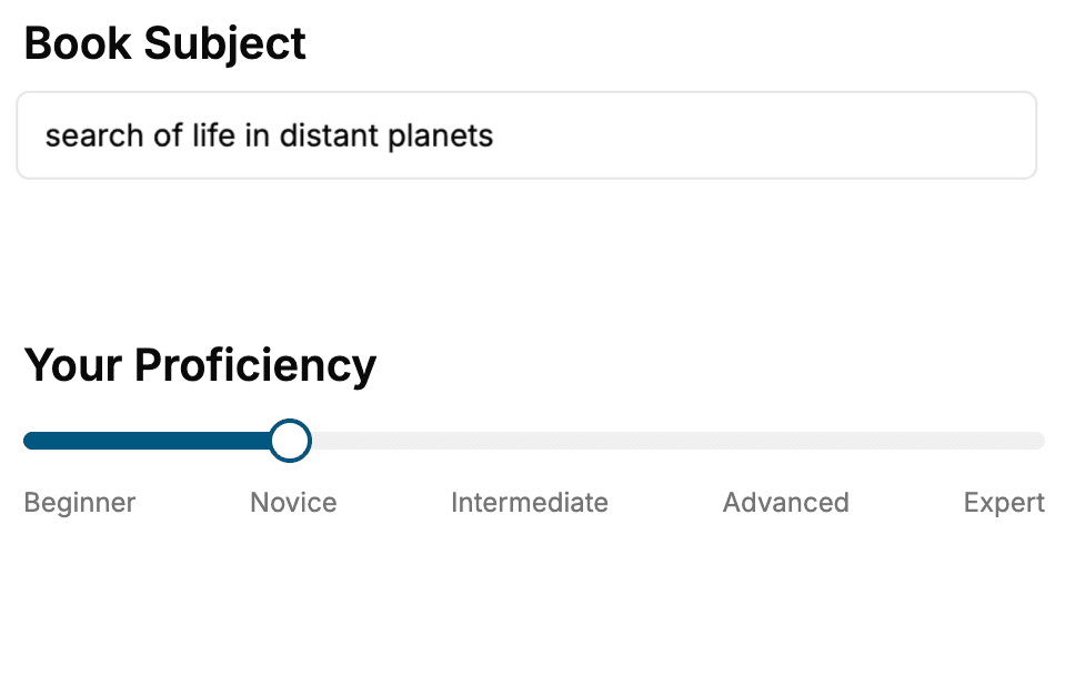
Select the focus of your Remote Sensing book and share your background
- 2. Personalize your book
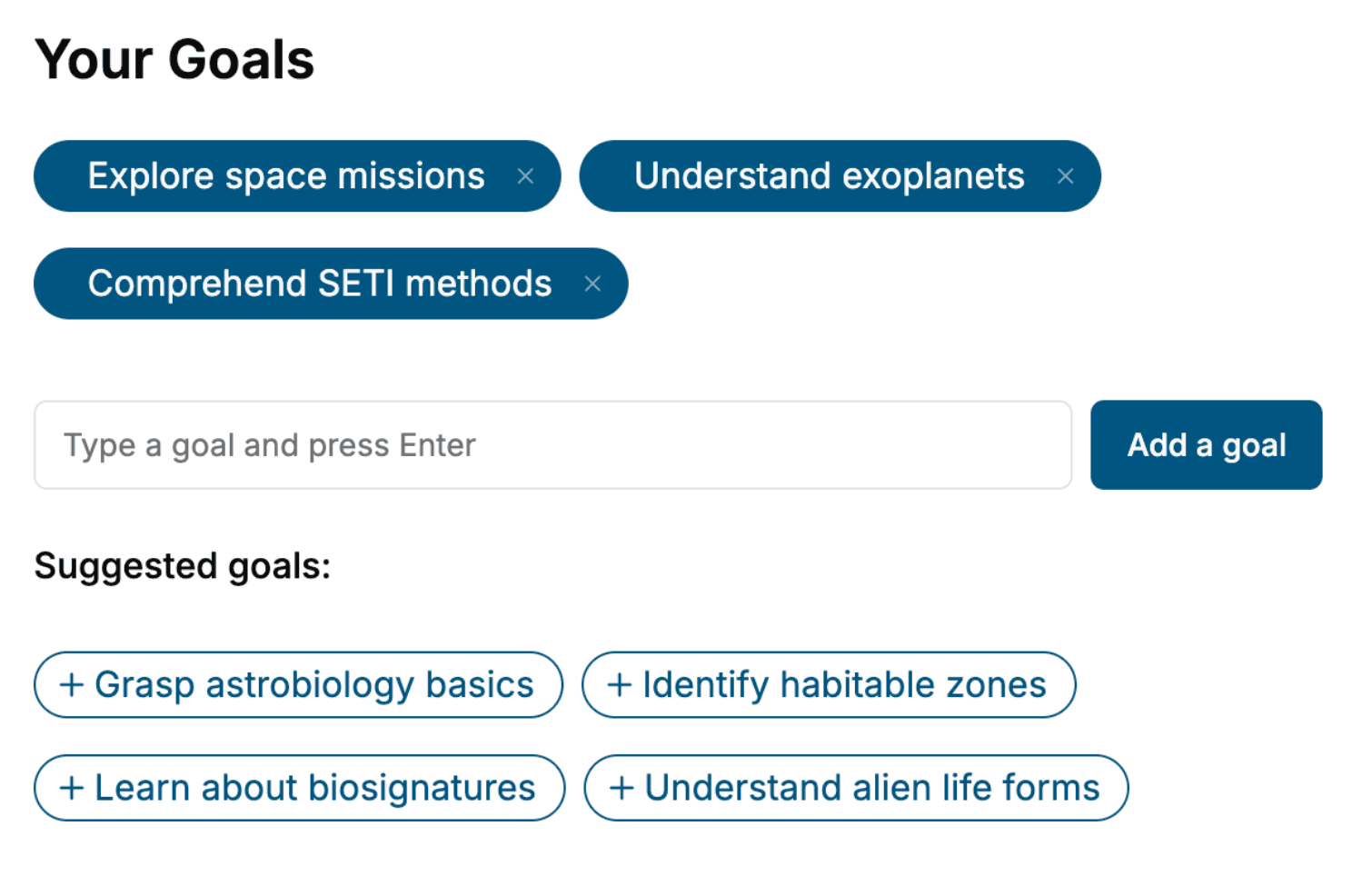
Specify your goals and choose sub-topics to include
- 3. Get your tailored book
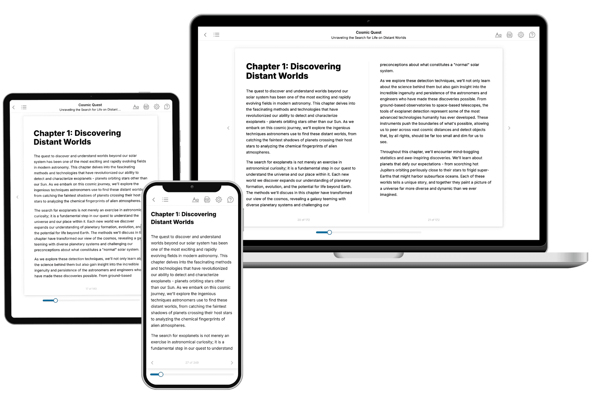
Your book is ready in 10 minutes. Read it online, download as EPUB or PDF, or send to Kindle.
Frequently asked questions
- What is TailoredRead?
TailoredRead creates complete, full-length nonfiction ebooks, written specifically for you. Tell us what you want to learn and why, and TailoredRead writes you a complete ebook on it, with charts, tables, and diagrams throughout. Read it online, on Kindle, or on any e-reader, or download it as a PDF or EPUB. Every book is written fresh the day you order it.
- How is the book tailored to me?
Before anything is written, you answer a few short questions about your goals, your background, and the topics you care about. Your book is then planned around your answers: written at your level, focused on your goals, and covering the topics you chose, instead of the one-size-fits-all book a store sells everyone.
- Will it read like generic AI content?
No. Your book isn't a chat transcript: it's planned chapter by chapter before a single word is written, told in a clear book voice, and explains ideas visually with charts, tables, and diagrams. After writing, every book goes through an editorial pass that polishes chapters so the book reads consistent from start to finish. Judge for yourself: browse thousands of sample books on our Explore Books page.
- How accurate is the content?
Our AI first checks whether your subject needs live research. Niche and fast-moving subjects are researched before writing, and the book plan and chapters are grounded in what it finds. After writing, every book goes through a quality pass that checks its facts and consistency, and researched books list their sources in a Notes section at the back.
- How long is the book?
You choose the length: Comprehensive (250-300 pages), Detailed (150-200 pages), Essential (70-100 pages), or Short (30-50 pages).
- Does the book include visuals?
Yes. Every book includes charts, tables, and diagrams: timelines, checklists, step-by-step guides, decision trees, comparison tables, matrices, and bar charts. A typical book includes dozens of these visual elements.
- Can I read it on Kindle? What formats can I download?
Yes. Every book can be read in our online reader or downloaded as a PDF or EPUB. The EPUB can be opened with Kindle, Apple Books, Kobo, and any e-reader. The Commercial and Author licenses also include an editable Word (DOCX) and Markdown download.
- How much does it cost?
About the price of a regular ebook. The exact price depends on your book's length and complexity, from $2 for the shortest books to $35 for the most comprehensive, and it's shown when you review your book, before you commit to anything. Each book is a one-time purchase, yours to keep, no subscription. Licenses that let you share, teach, or publish your book range from $35.99 to $49.99.
- Can I preview the book before purchasing?
Before you pay, you'll see what your book will cover: the title, a detailed description, the estimated length, and the complete chapter-by-chapter table of contents, so you know what you're getting before you decide. The full text itself is written after you purchase.
- How long does it take to create a book?
About 10 minutes. You can start reading the opening chapters while the rest is still being written.