The Silk Road Maps
Tracing Trade Routes, Cultures, and Connections Across Asia
Most people think of the Silk Road as a single, well-defined trade route—but the reality is far more complex and fascinating.
207 pages11 chaptersMay 25, 2026Silk Road
About this book
The Silk Road was actually a vast network of interconnected pathways that evolved over centuries, shaped by geography, politics, and commerce. This book uses detailed maps and clear explanations to guide you through the intricate web of routes that connected China, Central Asia, the Middle East, and beyond. You'll discover how mountains and deserts determined where merchants traveled, which cities became crucial trading hubs, and how goods, ideas, and religions flowed across continents. Whether you're a history enthusiast, geography student, or simply curious about how ancient trade shaped our world, these maps and narratives reveal the strategic brilliance of merchants who navigated one of history's most important commercial networks. Explore the routes that changed civilizations.
Table of contents
- IntroductionWhat Is the Silk Road?, Why Maps Matter for Understanding Trade, How to Use This BookRead below
- Chapter 1: Geography and the Foundations of TradeTerrain Challenges: Mountains, Deserts, and Steppes, Climate and Seasonal Patterns, Water Routes and River Systems
- Chapter 2: The Early Silk Road RoutesOrigins in China: The Starting Points, Central Asia as the Crossroads, Connections to the Western World
- Chapter 3: Major Trading Cities and HubsChang'an (Xi'an): The Eastern Gateway, Samarkand and Bukhara: Central Asian Jewels, Kashgar: The Crossroads of Cultures, Other Essential Trading Centers
- Chapter 4: Mapping the Land RoutesThe Northern Routes Through the Steppes, The Southern Routes Through Deserts, Branch Routes and Secondary Pathways
- Chapter 5: Maritime Routes and Sea TradeIndian Ocean Trade Networks, Major Port Cities and Harbors, Monsoon Winds and Navigation Patterns
- Chapter 6: Goods, Trade, and Economic NetworksSilk and Luxury Goods from the East, Spices, Textiles, and Regional Products, Trade Dynamics and Supply Chains
- Chapter 7: Cultural and Religious Exchange Along the RoutesThe Spread of Buddhism and Other Religions, Ideas, Technology, and Innovation Transfer, Artistic and Architectural Influences
- Chapter 8: The Evolution of Routes Over TimeThe Han Dynasty Period: Early Expansion, The Tang Dynasty: Peak of Trade, Later Periods and Gradual Decline
- Chapter 9: Political Control and Security Along the RoutesImperial Control and Border Management, Banditry, Caravans, and Protection Systems, Diplomatic Relations and Trade Agreements
- Chapter 10: How to Read and Interpret Silk Road MapsUnderstanding Map Symbols and Legends, Distance, Scale, and Geographic Accuracy, Comparing Historical Maps Across Periods
- Chapter 11: The Legacy of Silk Road Maps in the Modern WorldModern Infrastructure and Trade Corridors, Geopolitical Significance Today, Cultural Heritage and Tourism
- ConclusionKey Takeaways from the Maps, Further Exploration and Resources
Introduction
Few names in history carry as much romance and mystery as the Silk Road. Say those two words and most people picture a lone camel caravan winding through golden desert dunes, loaded with bolts of shimmering silk destined for distant emperors. That image is not entirely wrong, but it captures only a tiny fragment of a much larger, more complicated story. The Silk Road was not a single road at all. It was a sprawling, ever-shifting network of land and sea routes that connected civilizations across thousands of miles, carrying not just silk but spices, glassware, horses, religions, languages, and ideas that reshaped the ancient world.
The term "Silk Road" itself is surprisingly modern. German geographer Ferdinand von Richthofen coined the phrase Seidenstraße in 1877, long after the routes had faded from active use.[1] Before that, merchants, diplomats, and pilgrims who traveled these paths had no single name for them. They simply knew the roads, the passes, the oases, and the cities that kept them alive and moving. Understanding the Silk Road, then, requires stepping away from the romantic label and looking carefully at the actual geography, the real terrain, and the practical decisions that shaped where these routes ran and why.
That is exactly where maps become essential. A good map of the Silk Road does more than show lines connecting cities. It reveals mountain ranges that forced travelers north or south, deserts that demanded careful planning around water sources, and coastlines that opened entirely different possibilities for maritime trade. Maps make visible the logic behind decisions that might otherwise seem arbitrary. When you see the Pamir Mountains rising on a map, you immediately understand why merchants detoured hundreds of miles to avoid them. When you trace the Indian Ocean coastline, you see how monsoon winds turned seasonal sailing into a reliable commercial system. Geography was not just a backdrop to Silk Road history. It was the script that merchants, rulers, and explorers were all reading from.
This book is built around that geographic logic. Each chapter uses maps and clear narrative explanations to guide you through a different dimension of the Silk Road network, from its earliest origins in Han Dynasty China to its maritime extensions across the Indian Ocean, and from its peak during the Tang Dynasty to its gradual transformation into the trade corridors that still shape geopolitics today. Whether you are approaching this subject for the first time or deepening knowledge you already have, the goal is the same: to help you see the Silk Road not as a myth or a metaphor, but as a real, mappable, understandable system built by real people solving real problems across some of the world's most challenging terrain.
What Is the Silk Road?
The Silk Road, at its most basic, was a collection of overland and maritime trade routes that linked East Asia, Central Asia, South Asia, the Middle East, East Africa, and Europe over roughly fifteen centuries. At its greatest extent, the network stretched from the ancient Chinese capital of Chang'an (modern Xi'an) westward through Central Asia to Persia, the Levant, and eventually the Mediterranean world. Maritime branches extended south through the South China Sea, across the Indian Ocean, and up into the Persian Gulf and Red Sea. The total distance covered by all these interconnected routes ran to tens of thousands of miles.
It is important to understand that no single merchant ever traveled the entire length of the Silk Road. Trade worked through a relay system. A bolt of Chinese silk might pass through a dozen different hands before it reached a Roman market. Merchants in Kashgar bought goods from travelers coming from the east and sold them to traders heading west. Sogdian merchants from Central Asia became famous middlemen who dominated much of the overland trade for centuries.[2] Each segment of the route had its own specialists, its own risks, and its own profit margins.
The goods that moved along these routes were remarkably diverse. Silk was the most famous Chinese export, prized across the ancient world for its texture and sheen. But the routes also carried:
- From China: porcelain, tea, paper, gunpowder, and iron goods
- From Central Asia: horses, lapis lazuli, cotton textiles, and dried fruits
- From South Asia: spices, indigo, precious stones, and ivory
- From the Middle East and Mediterranean: glassware, gold, silver, wool, and wine
This exchange was never one-directional. Every region both exported and imported, creating a genuinely interdependent commercial system that no single empire could fully control.
Beyond goods, the Silk Road carried something even more transformative: ideas. Buddhism traveled from India into Central Asia and China along these same routes. Islam later spread westward and eastward through the same networks. Mathematical concepts, astronomical knowledge, papermaking techniques, and musical instruments all crossed cultural boundaries because merchants and pilgrims shared roads, caravanserais, and conversations. The Silk Road was, in a very real sense, the ancient world's most powerful engine of cultural globalization.
The timeline of the Silk Road is also longer and more complex than most people realize. Historians generally trace its formal origins to the Han Dynasty (206 BCE to 220 CE), when Emperor Wu sent diplomat Zhang Qian westward to forge alliances and open trade connections.[3] But the routes did not simply appear fully formed. They evolved over centuries, expanding during periods of political stability, contracting during wars and upheavals, and shifting as new powers rose and fell across the Eurasian landmass. Understanding this evolution is one of the central tasks of this book.
It is also worth noting what the Silk Road was not. It was not a paved highway with signposts and rest stops. It was not managed by any single government or commercial organization. It was not even consistently called by any one name during the centuries it was active. The Silk Road was, above all, a human achievement built from accumulated knowledge, practical necessity, and the universal desire to trade. That human dimension is what makes studying it through maps so rewarding. Every route on a map represents thousands of individual decisions made by people who understood their landscape intimately and navigated it with remarkable skill.
A useful way to think about it: Imagine the Silk Road not as a highway but as a river system. The main channels carried the heaviest traffic, but countless tributaries fed into them from every direction. Some tributaries dried up when political conditions changed. New ones formed when a city grew wealthy or a mountain pass became safer. The whole system was always in motion, always adapting, and always connected to something larger than any single route could represent.
This book treats the Silk Road as exactly that kind of dynamic, living system. The maps in each chapter are not snapshots of a fixed reality. They are windows into a network that was constantly being renegotiated by the people who depended on it. Keeping that dynamism in mind will help you get far more out of every map you study.
Why Maps Matter for Understanding Trade
There is a reason historians and geographers have always turned to maps when studying the Silk Road. Text alone can describe a trade route, but a map makes you feel the distance, the obstacles, and the logic of the path in a way that words rarely can. When you look at a map showing the Taklamakan Desert sitting squarely in the middle of Central Asia, you immediately grasp why merchants split into northern and southern routes to go around it rather than through it. The desert's name, in the Uyghur language, roughly translates to "you go in, you don't come out." No written description conveys that reality quite as powerfully as seeing the desert's scale on a map.
Maps also reveal relationships between places that are easy to miss in narrative history. Consider the city of Kashgar, located at the western edge of the Tarim Basin in what is now western China. On a map, its position is immediately striking. It sits at the exact point where the northern and southern routes around the Taklamakan Desert converge before heading west into Central Asia. That geographic position made Kashgar one of the most important trading cities in the ancient world, regardless of which empire controlled it at any given time. The map explains the city's importance in a single glance. A paragraph of text would take much longer to make the same point.
Historical maps of the Silk Road also carry their own fascinating stories. The maps that medieval cartographers drew of these routes reveal as much about what they knew and what they imagined as they do about actual geography. Consider these contrasting examples:
- The Tabula Rogeriana, drawn by Arab geographer Muhammad al-Idrisi in 1154 CE, showed a remarkably accurate picture of the known world from Europe to Central Asia, reflecting centuries of accumulated geographic knowledge from Silk Road travelers.[4]
- European maps of the same period often showed Central Asia as a vague, monster-filled wilderness, reflecting how little direct knowledge Europeans had of the routes that connected them to China.
Comparing these maps side by side tells you immediately which civilizations were actively engaged in Silk Road trade and which were receiving goods at the far end of a long chain without fully understanding where they came from.
For understanding trade specifically, maps serve several practical functions that no other tool can replicate. They show distance and difficulty, helping you understand why certain goods were so expensive by the time they reached their final destination. A bag of black pepper that cost a few coins in India might sell for the equivalent of a week's wages in Rome, simply because of the distance, the number of middlemen, and the risks involved in getting it there. A map makes that journey visible and the price premium understandable.
Maps also show competition and alternatives. When the northern steppe routes became dangerous due to nomadic raids, merchants shifted south. When the Mongol Empire unified Central Asia in the 13th century, overland routes became safer and traffic increased dramatically. When the Ottoman Empire rose and disrupted traditional overland connections between Europe and Asia in the 15th century, European powers began searching for maritime alternatives, eventually leading to the Age of Exploration. All of these shifts are visible on maps if you know how to read them. The routes that appear on a map at any given historical moment are the survivors of a constant process of selection driven by safety, cost, and political access.
One of the most important things maps reveal about Silk Road trade is the role of natural waypoints. Oases, river crossings, mountain passes, and natural harbors were not just convenient stopping points. They were the structural skeleton of the entire network. Wherever geography provided a reliable water source in a desert, a manageable crossing through a mountain range, or a sheltered harbor on a coastline, a trading settlement almost inevitably grew up. Many of the great Silk Road cities, from Dunhuang to Merv to Hormuz, owe their existence entirely to geographic accidents that made them natural gathering points for travelers and merchants.
Understanding how to read a Silk Road map, then, is not just a technical skill. It is a way of thinking about how geography shapes human behavior, how trade creates connections across cultural boundaries, and how the physical world sets the terms within which history unfolds. Every chapter of this book will build on that skill, adding layers of geographic, economic, and cultural context that make the maps progressively richer and more meaningful as you move through them.
Practical tip: As you work through each chapter, try to look at the maps before reading the text. Form your own initial impressions about why routes run where they do, which cities seem strategically placed, and what geographic obstacles you can identify. Then read the text to check and deepen your understanding. This active approach will help the geographic logic stick far more effectively than reading alone.
Maps are also honest about uncertainty in a way that narrative history sometimes is not. Dotted lines on a Silk Road map typically indicate routes that are probable but not definitively confirmed by archaeological or documentary evidence. Shaded zones show areas of political control that were contested or shifting. These visual signals of uncertainty are actually valuable. They remind you that our knowledge of the ancient Silk Road is always incomplete and always being revised as new archaeological discoveries emerge. The maps in this book are the best current picture of what we know, but they are also invitations to keep asking questions.
How to Use This Book
This book is designed to work on multiple levels simultaneously. At the most basic level, it is a geographic guide to the Silk Road network, using maps to show where the routes ran, which cities anchored them, and how the network changed over time. At a deeper level, it is an explanation of why the routes developed as they did, connecting geographic facts to economic logic and historical events. And at the deepest level, it is an invitation to develop a new way of seeing the ancient world, one in which geography, commerce, and culture are always intertwined.
The chapters are organized to build on each other progressively. Here is the overall structure and how each part contributes to the whole:
- Chapters 1 through 2 establish the geographic and historical foundations. You will learn how terrain, climate, and river systems shaped the routes before diving into the earliest documented trade connections.
- Chapters 3 through 5 focus on the specific places and pathways that made the network function, covering major trading cities, the main land routes, and the maritime alternatives.
- Chapters 6 through 7 shift from geography to commerce and culture, examining what was traded, how trade was organized, and what ideas and beliefs traveled alongside the goods.
- Chapters 8 through 9 trace the historical evolution of the routes across different dynasties and empires, including the political and security systems that kept trade moving.
- Chapters 10 through 11 provide tools for deeper engagement, teaching you how to read and interpret historical maps critically and connecting the ancient Silk Road to modern infrastructure and geopolitics.
You do not have to read this book strictly from front to back, though doing so will give you the most coherent experience. If you already have a solid grounding in Silk Road history and want to focus on specific topics, each chapter is designed to be reasonably self-contained. Someone primarily interested in maritime trade can jump to Chapter 5 without losing the thread. Someone focused on cultural exchange can go directly to Chapter 7. Cross-references throughout the text will point you back to relevant earlier material when needed.
The maps in each chapter deserve special attention. Each map is accompanied by a detailed caption explaining what it shows, what period it covers, and what key features to look for. Before reading a caption, spend a moment studying the map on its own. Ask yourself:
- What geographic features stand out most prominently?
- Where do the routes cluster, and where do they spread apart?
- Which cities appear to be the most connected, based on the number of routes passing through them?
- Are there areas where routes seem to avoid certain terrain, and can you guess why?
This habit of active map reading will sharpen your geographic intuition and make the explanations in the text far more meaningful when you read them.
Throughout the book, you will also find focused case studies that zoom in on specific moments, places, or people to illustrate broader patterns. For example, the story of the Sogdian merchant letters discovered in a watchtower near Dunhuang in 1907 brings the abstract concept of relay trade to vivid life.[5] These letters, written around 313 CE, are among the oldest surviving commercial correspondence from the Silk Road and reveal details about prices, goods, and merchant networks that no map alone could show. Case studies like this one appear throughout the book to keep the geographic analysis grounded in human reality.
A note on terminology is also worth making here. Place names along the Silk Road are notoriously complicated. Many cities have been known by different names in different languages and different historical periods. Chang'an is now Xi'an. Samarkand has been spelled dozens of different ways in historical sources. Merv, one of the great Silk Road cities of Central Asia, now lies in ruins in modern Turkmenistan and is sometimes called Mary. Throughout this book, the most commonly recognized English-language name for each place is used on first mention, with alternative names noted in parentheses where relevant. A glossary at the back of the book provides a quick reference for the most important place names and their variants.
Finally, a word about what this book is not. It is not an exhaustive academic history of the Silk Road. Excellent scholarly works already fill that role, and several are listed in the further reading section at the end. This book is a geographic and visual guide designed to make the Silk Road's spatial logic accessible and engaging. The goal is not to replace deeper academic study but to give you the geographic foundation that makes deeper study far more rewarding. Once you can see the routes on a map and understand why they run where they do, every other book, documentary, or museum exhibit about the Silk Road will make more sense and carry more meaning.
A starting point for your journey: Before moving to Chapter 1, take a few minutes to look at the full overview map of the Silk Road network included at the beginning of this book. Do not try to memorize it. Just let your eye travel across it, noticing the overall shape of the network, the major clusters of routes, and the vast distances involved. That first impression will serve as a mental anchor for everything that follows. The details will come. The big picture starts here.
The Silk Road changed the world in ways that are still visible today, in the foods we eat, the religions practiced across Asia, the infrastructure projects connecting modern nations, and the geopolitical rivalries shaping international relations. Understanding it through maps is one of the most direct and satisfying ways to grasp how geography and commerce together write history. The routes are waiting. It is time to start tracing them.
Notes
Introduction
- 1. Peter Frankopan, The Silk Roads, Bloomsbury Publishing, 2015
- 2. Valerie Hansen, The Silk Road, Oxford University Press, 2012
- 3. Susan Whitfield, Life Along the Silk Road, University of California Press, 1999
- 4. J. B. Harley and David Woodward, The History of Cartography, Volume 2, University of Chicago Press, 1992
- 5. Nicholas Sims-Williams, "The Sogdian Ancient Letters," Bulletin of the Asia Institute, 2001
This is the end of the free sample. The full book has 11 chapters.
Want this book written for you?
Tell us your goals and background, and get your own version of this book, tailored by AI to you.





Benefits of AI-tailored books
- Read one book, not ten:
- all the Silk Road knowledge you need, gathered into a single book.
- Save days of learning:
- tell us your goals, choose your topics, and the whole book is built around them.
- Learn effortlessly:
- Silk Road book written for your specific background and expertise.
- Understand at a glance:
- includes charts, tables, timelines, checklists, decision trees, and more.
- Stay current:
- written the day you order it, not years ago.
- Trust what you read:
- every book is checked for accuracy, with real research when your subject needs it.
Create your unique book in 3 steps
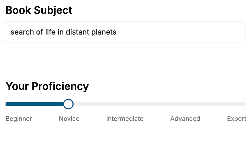
- 1. Select your focus
Select the focus of your Silk Road book and share your background
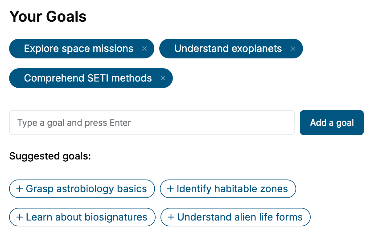
- 2. Personalize your book
Specify your goals and choose sub-topics to include
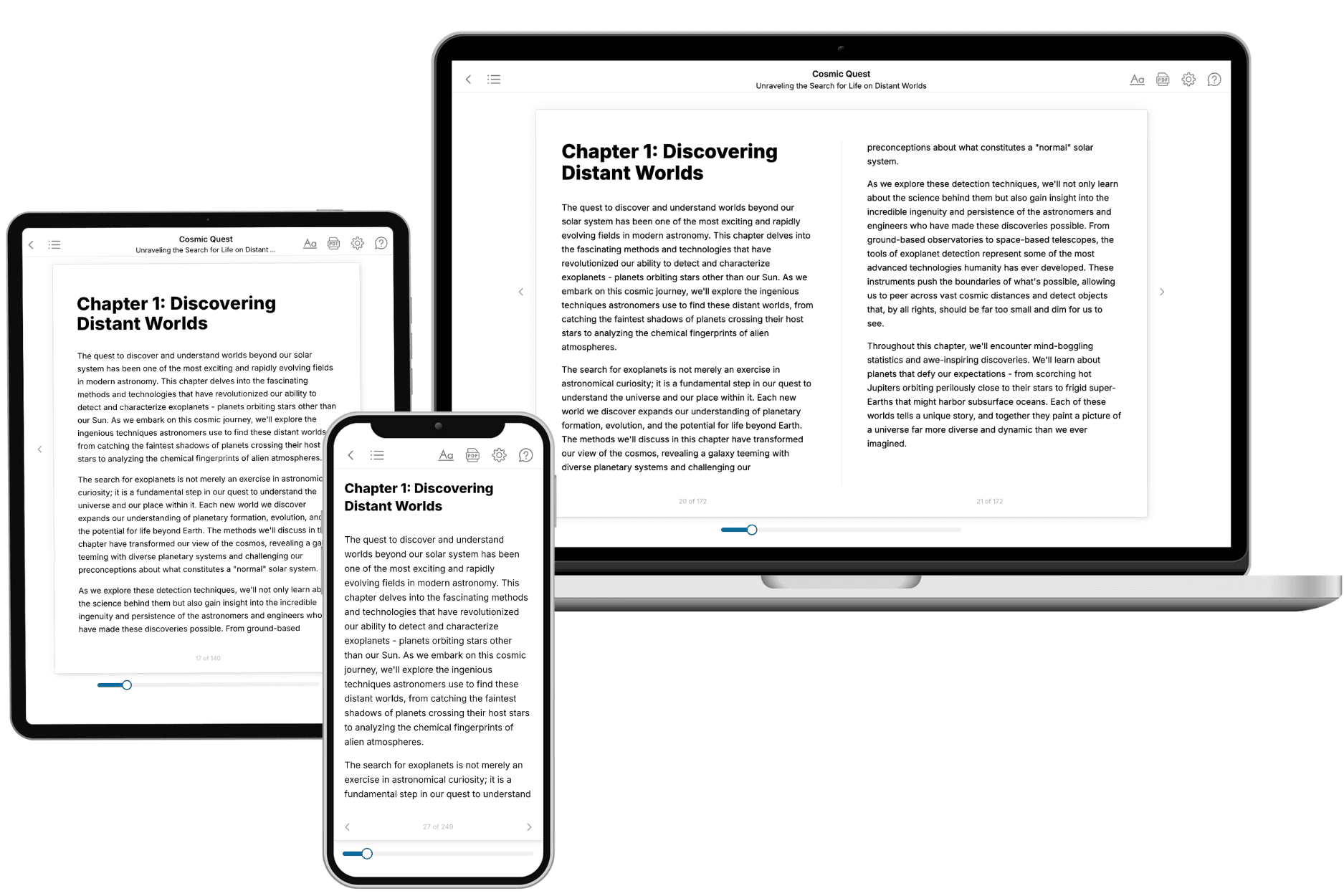
- 3. Get your tailored book
Your book is ready in 10 minutes. Read it online, download as EPUB or PDF, or send to Kindle.
Frequently asked questions
- What is TailoredRead?
TailoredRead creates complete, full-length nonfiction ebooks, written specifically for you. Tell us what you want to learn and why, and TailoredRead writes you a complete ebook on it, with charts, tables, and diagrams throughout. Read it online, on Kindle, or on any e-reader, or download it as a PDF or EPUB. Every book is written fresh the day you order it.
- How is the book tailored to me?
Before anything is written, you answer a few short questions about your goals, your background, and the topics you care about. Your book is then planned around your answers: written at your level, focused on your goals, and covering the topics you chose, instead of the one-size-fits-all book a store sells everyone.
- Will it read like generic AI content?
No. Your book isn't a chat transcript: it's planned chapter by chapter before a single word is written, told in a clear book voice, and explains ideas visually with charts, tables, and diagrams. After writing, every book goes through an editorial pass that polishes chapters so the book reads consistent from start to finish. Judge for yourself: browse thousands of sample books on our Explore Books page.
- How accurate is the content?
Our AI first checks whether your subject needs live research. Niche and fast-moving subjects are researched before writing, and the book plan and chapters are grounded in what it finds. After writing, every book goes through a quality pass that checks its facts and consistency, and researched books list their sources in a Notes section at the back.
- How long is the book?
You choose the length: Comprehensive (250-300 pages), Detailed (150-200 pages), Essential (70-100 pages), or Short (30-50 pages).
- Does the book include visuals?
Yes. Every book includes charts, tables, and diagrams: timelines, checklists, step-by-step guides, decision trees, comparison tables, matrices, and bar charts. A typical book includes dozens of these visual elements.
- Can I read it on Kindle? What formats can I download?
Yes. Every book can be read in our online reader or downloaded as a PDF or EPUB. The EPUB can be opened with Kindle, Apple Books, Kobo, and any e-reader. The Commercial and Author licenses also include an editable Word (DOCX) and Markdown download.
- How much does it cost?
About the price of a regular ebook. The exact price depends on your book's length and complexity, from $2 for the shortest books to $35 for the most comprehensive, and it's shown when you review your book, before you commit to anything. Each book is a one-time purchase, yours to keep, no subscription. Licenses that let you share, teach, or publish your book range from $35.99 to $49.99.
- Can I preview the book before purchasing?
Before you pay, you'll see what your book will cover: the title, a detailed description, the estimated length, and the complete chapter-by-chapter table of contents, so you know what you're getting before you decide. The full text itself is written after you purchase.
- How long does it take to create a book?
About 10 minutes. You can start reading the opening chapters while the rest is still being written.