Maps Across Cultures
How Different Civilizations Mapped the World and What It Teaches Us Today
Discover how maps tell the stories of civilizations and reveal the hidden assumptions embedded in how we see the world.
207 pages10 chaptersAug 7, 2026CartographyCreated by Maleah
About this book
This book takes you through the fascinating history of cartography across cultures, showing you how Indigenous peoples, Islamic scholars, Chinese dynasties, African societies, Aboriginal Australians, and Pacific navigators each developed unique and sophisticated ways of mapping their worlds. You'll explore the mathematical precision of medieval Islamic mapmaking, the artistic mastery of Chinese cartography, the spiritual dimensions of Aboriginal land mapping, and the remarkable navigational knowledge encoded in Polynesian stick charts. More importantly, you'll learn how to bring these diverse perspectives into your classroom, helping your students understand that maps are never neutral—they reflect power, culture, and values. This book provides practical frameworks for teaching map literacy critically, analyzing geopolitical representations, and building geographic awareness that honors multiple ways of knowing and understanding space.
Table of contents
- IntroductionWhy Maps Matter in Education, Beyond Western Cartography, How to Use This BookRead below
- Chapter 1: Maps as Cultural RepresentationsMaps Are Never Neutral, Power and Perspective in Cartography, Teaching Critical Map Literacy
- Chapter 2: Indigenous Cartography SystemsIndigenous Spatial Knowledge Systems, Land Mapping and Resource Management, Oral Traditions and Spatial Memory
- Chapter 3: Medieval Islamic MapmakingCartographic Innovations and Accuracy, Al-Idrisi and the Advancement of Geographic Knowledge, Influence on European Cartography
- Chapter 4: Chinese Historical CartographyEarly Chinese Mapping Traditions, Mathematical and Artistic Approaches, Representing Territory and Political Boundaries
- Chapter 5: African Mapping TraditionsAfrican Spatial Organization Systems, Trade Routes and Territorial Understanding, Regional Variations Across the Continent
- Chapter 6: Aboriginal Land MappingSonglines and Landscape Knowledge, Spiritual Dimensions of Land Mapping, Contemporary Aboriginal Cartography
- Chapter 7: Oceanic Navigation ChartsPolynesian Stick Charts and Wave Patterns, Mathematical Knowledge in Navigation, Long-Distance Maritime Travel Systems
- Chapter 8: Ancient Navigation SystemsMediterranean Navigation Techniques, Celestial Navigation Methods, Comparing Navigation Systems Across Civilizations
- Chapter 9: Map Literacy in SchoolsDeveloping Critical Map Skills, Analyzing Geopolitical Representations, Classroom Activities and Assessments
- Chapter 10: Integrating Diverse PerspectivesCurriculum Integration Strategies, Building Student Geographic Awareness, Addressing Bias in Geographic Education
- ConclusionMaps as Windows to Understanding, The Future of Cartography and Education
- Further Reading and Resources
Introduction
Pick up any standard world atlas and open it to the first full-page world map. Chances are you are looking at a version of the Mercator Projection, a cylindrical map design first published in 1569. Greenland appears roughly the same size as Africa. In reality, Africa is about fourteen times larger. That single distortion, repeated across textbooks, classroom walls, and digital interfaces for generations, has quietly shaped how billions of people understand the relative importance of different parts of the world.[1] The map was not designed to deceive, but its effects have been deeply consequential nonetheless.
That example is not an isolated quirk of one projection. It points to something much larger: every map ever made reflects the priorities, assumptions, and blind spots of the people who made it. Maps are not windows onto a neutral, objective world. They are arguments about what matters, who belongs at the center, and whose knowledge counts as authoritative. Geography teachers are in a uniquely powerful position to help students see this, but only if the curriculum itself moves beyond a single cartographic tradition.
This book is built around a straightforward premise. The Western European tradition of mapmaking, dominant in most school curricula, is one tradition among many. Indigenous peoples across the Americas, Africa, and Australia developed sophisticated spatial knowledge systems long before European explorers arrived. Medieval Islamic scholars produced maps of extraordinary mathematical precision. Chinese dynasties fused grid-based measurement with artistic and cosmological meaning. Polynesian navigators encoded open-ocean mathematics into physical stick charts. Each of these traditions offers something that a standard geography curriculum currently lacks: a different answer to the question of what a map is for.
The chapters ahead move through these traditions one by one, giving you the historical context, the key concepts, and the classroom tools to bring each one into your teaching. The goal is not to replace what you already teach. It is to expand the frame so that students encounter geography as a genuinely human endeavor, shaped by culture, power, and purpose, rather than as a fixed set of facts printed on a laminated poster.
Why Maps Matter in Education
Maps do something that few other educational tools can match: they make abstract relationships visible. Distance, scale, political boundaries, climate zones, trade routes, population density — all of these become graspable the moment they are rendered spatially. For students who struggle with purely verbal or numerical information, a well-designed map can be the entry point that makes a concept click. That visual power is exactly why the maps we choose to show students carry so much weight.
The problem is that most classroom maps carry assumptions that go unexamined. When a world map consistently places Europe at the center, or when North America appears in the upper-left corner as a matter of habit rather than necessity, students absorb a spatial hierarchy without anyone explicitly teaching it. Research in geographic education has shown that students' mental maps — their internal sense of where places are and how large they are — closely mirror the projections they encounter most often in school.[2] The classroom map is not just a reference tool. It is a cognitive template.
Teaching with maps also develops skills that transfer far beyond geography class. Reading a map requires students to interpret symbols, understand scale, recognize perspective, and ask who made this and why. These are the same analytical moves that strong readers apply to a primary source document, a news article, or a data visualization. Critical Map Literacy — the ability to analyze what a map shows, what it omits, and whose interests it serves — is a form of media literacy that students need in an era saturated with data-driven visuals.
Consider a concrete classroom scenario. A teacher shows students two maps of the same region: one produced by a colonial administration in the nineteenth century, and one produced by the Indigenous community that has lived there for thousands of years. The colonial map shows roads, administrative districts, and resource extraction sites. The Indigenous map shows seasonal travel routes, sacred sites, water sources, and ecological boundaries. Neither map is wrong. Both are selective. The comparison alone generates more critical thinking about representation and power than a week of lecture could produce.
Maps also connect geography to history, politics, economics, and culture in ways that make interdisciplinary teaching natural. A map of Trans-Saharan Trade Routes is simultaneously a geography lesson, a history lesson about medieval African commerce, and an economics lesson about how networks of exchange shape regional development. A Polynesian stick chart opens conversations about physics, astronomy, and the nature of knowledge itself. When maps are treated as cultural artifacts rather than neutral tools, they become one of the most versatile resources in a teacher's kit.
The stakes of this kind of teaching are not abstract. Students who learn to read maps critically are better equipped to evaluate geopolitical claims, understand environmental data, and recognize when spatial representations are being used to justify policy decisions. That is a form of civic literacy. Geography teachers who build these skills are doing something that extends well beyond the subject area.
Key takeaway: The Core Argument for Map Literacy
Maps are not neutral records of reality. They are constructed representations that reflect choices about what to show, what to omit, and whose perspective to center. Teaching students to ask those questions is one of the most transferable critical thinking skills geography education can offer.
Beyond Western Cartography
Western cartography has a well-documented history, and it is genuinely impressive. The mathematical advances of Greek geographers, the precision of Renaissance-era portolan charts, the systematic surveying methods of the Enlightenment — these developments produced tools of remarkable accuracy and utility. But the story most geography curricula tell begins with ancient Greece and runs through European exploration to modern GIS technology, as if no one else was mapping the world in the meantime. That version of history is incomplete in ways that matter for students.
The gaps are significant. Around 1154 CE, the Arab geographer Al-Idrisi completed a world map for the Norman king Roger II of Sicily. Known as the Tabula Rogeriana, it was more geographically accurate than any European map of its era, drawing on decades of systematic geographic inquiry and the accumulated knowledge of Islamic scholarship stretching back to the translation of Ptolemy's work in the ninth century.[3] This tradition is rarely mentioned in standard geography curricula, even though it directly influenced the European mapmaking that followed.
Chinese cartography presents a different kind of gap. The third-century cartographer Pei Xiu articulated a set of mapping principles that included consistent scale, orientation, and the measurement of distances — principles that parallel developments in European cartography by more than a thousand years in some respects. Chinese maps also served functions that Western maps rarely did, encoding political legitimacy, cosmological order, and dynastic authority alongside geographic information. Understanding that maps can carry that kind of meaning changes how students think about what a map is.
Indigenous spatial knowledge systems represent perhaps the most significant gap of all. Across North America, Australia, the Pacific, and Africa, communities developed detailed, sophisticated ways of encoding geographic knowledge that did not rely on paper, ink, or European conventions of scale and orientation. Aboriginal Australians encoded landscape knowledge through Songlines — a system of sung routes that integrated geography, law, ecology, and spiritual meaning into a single living framework. Polynesian navigators read wave patterns, star positions, and bird behavior to navigate thousands of miles of open ocean with extraordinary precision. These are not primitive precursors to "real" cartography. They are fully developed knowledge systems that solved real navigational and territorial problems.
The Map Neutrality Myth — the idea that a map simply shows what is there — is most visible when you place these traditions side by side. A Lakota winter count, a Polynesian stick chart, a Chinese imperial map, and a nineteenth-century British survey of the same region will each show you something different, not because some are more accurate than others, but because each was built to answer different questions for different communities. That comparison is the starting point for genuine geographic literacy.
Bringing these traditions into the classroom does not require abandoning the Western cartographic canon. It requires contextualizing it. When students understand that the Mercator Projection was designed for maritime navigation and that its size distortions were a known trade-off rather than an oversight, they can use it more intelligently. When they also know that other traditions solved the same problems of spatial representation in radically different ways, they develop a more flexible and accurate understanding of what maps can and cannot do.
There is also a straightforward equity argument. Many students in geography classrooms come from communities whose spatial knowledge traditions are not represented in standard curricula. When a student of Pacific Islander heritage learns that Polynesian navigators developed one of the most sophisticated wayfinding systems in human history, or when a student with Indigenous ancestry encounters the complexity and depth of land-based knowledge systems, the curriculum signals something important: their heritage is not a footnote to the main story. It is part of the main story.
| Tradition | Primary Medium | Core Purpose | Key Strength |
|---|---|---|---|
| Western (Mercator era) | Paper, ink, mathematical projection | Maritime navigation, territorial claim | Geometric precision, scalability |
| Islamic (Al-Idrisi) | Manuscript, mathematical survey | Geographic synthesis, scholarly knowledge | Accuracy, breadth of geographic scope |
| Chinese (Pei Xiu era) | Silk, paper, grid systems | Political authority, territorial administration | Mathematical grid, cosmological integration |
| Aboriginal Australian | Song, performance, ground painting | Ecological knowledge, law, spiritual practice | Living, updatable, community-held |
| Polynesian | Stick and shell constructions | Open-ocean wayfinding | Wave-pattern encoding, tactile learning |
How to Use This Book
This book is organized to move from foundational concepts to specific traditions and then to practical classroom application. The first chapter establishes the theoretical framework: why maps are cultural artifacts, how Cartographic Power operates, and what Critical Map Literacy looks like as a teaching practice. If you are already familiar with these ideas, you can move through that chapter quickly. If they are new to you, spending time there will make the rest of the book more useful.
Chapters two through eight each focus on a specific cartographic tradition or geographic region. The sequence moves from Indigenous knowledge systems through Islamic and Chinese cartography, then to African spatial organization, Aboriginal land mapping, Polynesian navigation, and ancient Mediterranean systems. Each chapter follows a similar structure: historical and cultural context, key concepts and examples, and connections to classroom practice. You do not need to read these chapters in order. If your curriculum has a unit on the Pacific, you might go directly to the chapter on Polynesian Wayfinding. If you are building a unit on medieval trade, the chapters on Islamic cartography and African spatial organization work well together.
Chapters nine and ten shift from content to pedagogy. Chapter nine focuses on Map Literacy Assessment and the specific skills students need to analyze maps critically, including how to evaluate Geopolitical Representation Analysis and detect bias in visual representations of space. Chapter ten provides Curriculum Integration Strategies for weaving diverse cartographic perspectives into an existing geography course without requiring a complete redesign. Both chapters include frameworks, activity templates, and discussion prompts that you can adapt directly.
Throughout the book, you will find several recurring features designed to make the content immediately usable in a classroom setting.
- Classroom examples show how specific concepts translate into lesson activities, discussion questions, or student projects.
- Key terms are introduced in bold when they first appear and defined in context, so you can use them with students without needing a separate glossary lookup.
- Comparison frameworks appear where placing two or more traditions side by side reveals something that neither tradition makes visible on its own.
- Callout boxes highlight key takeaways, warnings about common misconceptions, and practical tips for implementation.
A note on terminology: this book uses the phrase Indigenous Spatial Knowledge as a broad term for the diverse spatial and geographic knowledge systems developed by Indigenous communities worldwide. This is not meant to flatten the enormous differences between, say, Lakota land knowledge and Aboriginal Australian Songlines. Each tradition is treated on its own terms in the relevant chapter. The umbrella term appears only where the contrast with Western cartographic conventions is the main point.
The book also tries to be honest about its own limits. No single volume can do full justice to the depth and diversity of every cartographic tradition it covers. The chapters on Islamic cartography, Chinese mapping, and Aboriginal land knowledge in particular draw on fields of scholarship that are each vast enough to fill multiple books. The goal here is not comprehensive coverage. It is to give you enough context, enough concrete examples, and enough practical tools to teach these traditions with accuracy and respect, and to point you toward deeper resources when you want them. The Further Reading section at the end of the book is organized by chapter and includes both academic sources and classroom-accessible materials.
One practical suggestion before you begin: as you read, keep your current curriculum in mind. After each chapter, ask yourself where this tradition could connect to something you already teach. A unit on ancient civilizations might naturally incorporate Islamic cartographic innovations. A unit on environmental geography could open a conversation about Indigenous land mapping and resource knowledge. A lesson on the Age of Exploration looks very different when students also know about the navigational sophistication of the peoples European explorers encountered. The connections are there. This book is designed to help you see them and act on them.
Getting Started: A Practical Entry Point
- Audit your current maps - Look at every map currently displayed or used in your classroom. Note the projection, the orientation, and whose geographic knowledge it represents. This takes about fifteen minutes and immediately surfaces the gaps this book addresses.
- Identify one curriculum connection - Choose one unit you already teach and identify where a non-Western cartographic tradition could add depth. You do not need to redesign the unit - a single comparison activity or discussion question is enough to start.
- Read the foundational chapter first - The chapter on Maps as Cultural Representations establishes the vocabulary and framework that the rest of the book builds on. Even if you are familiar with critical cartography, skimming it will align your thinking with the terms used throughout.
- Use the tradition chapters selectively - You do not need to read every chapter before using the book in your classroom. Go to the tradition that connects most directly to your next unit and work from there.
- Return to chapters nine and ten for assessment tools - Once you have introduced a new cartographic tradition to students, the Map Literacy Assessment frameworks in chapter nine will help you evaluate whether students are developing genuine critical thinking skills, not just surface familiarity with new examples.
Geography education is at an interesting moment. Digital mapping tools have made spatial data more accessible than ever, but they have also made the assumptions embedded in maps harder to see, because the interface feels so intuitive and neutral. Students who grow up navigating by GPS may never question why the map looks the way it does, who built it, or what it leaves out. That is precisely why the kind of teaching this book supports matters more now, not less. The traditions covered in the chapters ahead are not historical curiosities. They are living proof that humans have always found multiple ways to understand, represent, and move through the world — and that no single tradition has a monopoly on geographic truth.
This is the end of the free sample. The full book has 10 chapters.
Want this book written for you?
Tell us your goals and background, and get your own version of this book, tailored by AI to you.


Benefits of AI-tailored books
- Read one book, not ten:
- all the Cartography knowledge you need, gathered into a single book.
- Save days of learning:
- tell us your goals, choose your topics, and the whole book is built around them.
- Learn effortlessly:
- Cartography book written for your specific background and expertise.
- Understand at a glance:
- includes charts, tables, timelines, checklists, decision trees, and more.
- Stay current:
- written the day you order it, not years ago.
- Trust what you read:
- every book is checked for accuracy, with real research when your subject needs it.
Create your unique book in 3 steps
- 1. Select your focus
Select the focus of your Cartography book and share your background
- 2. Personalize your book
Specify your goals and choose sub-topics to include
- 3. Get your tailored book
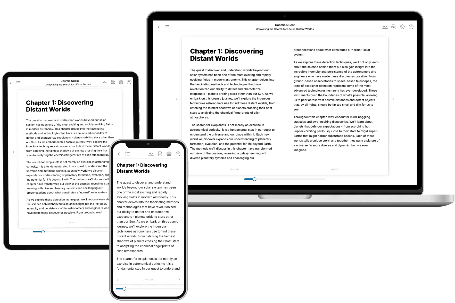
Your book is ready in 10 minutes. Read it online, download as EPUB or PDF, or send to Kindle.
Frequently asked questions
- What is TailoredRead?
TailoredRead creates complete, full-length nonfiction ebooks, written specifically for you. Tell us what you want to learn and why, and TailoredRead writes you a complete ebook on it, with charts, tables, and diagrams throughout. Read it online, on Kindle, or on any e-reader, or download it as a PDF or EPUB. Every book is written fresh the day you order it.
- How is the book tailored to me?
Before anything is written, you answer a few short questions about your goals, your background, and the topics you care about. Your book is then planned around your answers: written at your level, focused on your goals, and covering the topics you chose, instead of the one-size-fits-all book a store sells everyone.
- Will it read like generic AI content?
No. Your book isn't a chat transcript: it's planned chapter by chapter before a single word is written, told in a clear book voice, and explains ideas visually with charts, tables, and diagrams. After writing, every book goes through an editorial pass that polishes chapters so the book reads consistent from start to finish. Judge for yourself: browse thousands of sample books on our Explore Books page.
- How accurate is the content?
Our AI first checks whether your subject needs live research. Niche and fast-moving subjects are researched before writing, and the book plan and chapters are grounded in what it finds. After writing, every book goes through a quality pass that checks its facts and consistency, and researched books list their sources in a Notes section at the back.
- How long is the book?
You choose the length: Comprehensive (250-300 pages), Detailed (150-200 pages), Essential (70-100 pages), or Short (30-50 pages).
- Does the book include visuals?
Yes. Every book includes charts, tables, and diagrams: timelines, checklists, step-by-step guides, decision trees, comparison tables, matrices, and bar charts. A typical book includes dozens of these visual elements.
- Can I read it on Kindle? What formats can I download?
Yes. Every book can be read in our online reader or downloaded as a PDF or EPUB. The EPUB can be opened with Kindle, Apple Books, Kobo, and any e-reader. The Commercial and Author licenses also include an editable Word (DOCX) and Markdown download.
- How much does it cost?
About the price of a regular ebook. The exact price depends on your book's length and complexity, from $2 for the shortest books to $35 for the most comprehensive, and it's shown when you review your book, before you commit to anything. Each book is a one-time purchase, yours to keep, no subscription. Licenses that let you share, teach, or publish your book range from $35.99 to $49.99.
- Can I preview the book before purchasing?
Before you pay, you'll see what your book will cover: the title, a detailed description, the estimated length, and the complete chapter-by-chapter table of contents, so you know what you're getting before you decide. The full text itself is written after you purchase.
- How long does it take to create a book?
About 10 minutes. You can start reading the opening chapters while the rest is still being written.